Palisades Tahoe Operations Update: KT-22 Update + Big Storms Coming
Published Date:

Melbourne-based skier and snowboarder with 50+ resorts across 5 continents. Specialises in Australian resorts and international resort comparisons.

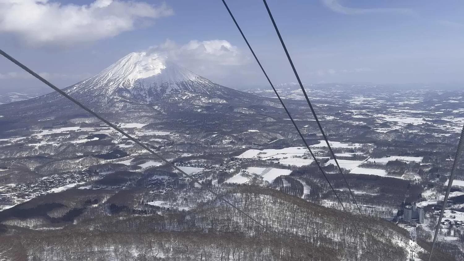
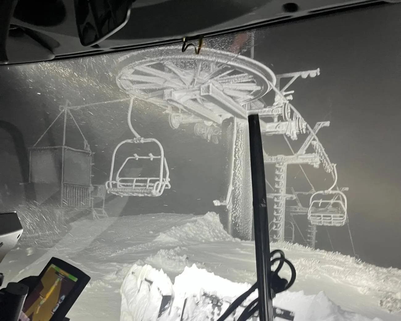
Palisades Tahoe is prepping for what could be the biggest storm of the season whilst also getting ready to open their most famous lift. This weekend will see nearly 60” (5ft) of fresh snow fall across the middle sections of the resort which means it could be over 7ft near the peaks. Fold that in with the 105” of snow that has already fallen across the resort its making the Lake Tahoe region on of the best places to be riding pre Christmas.Not only is there record snow on the way but KT-22 is ready for launch. KT-22 is one of those legendary lifts which people migrate across the planet to explore and has been nicknamed the Mothership. Typically voted the nest lift in North America the terrain is for advanced and expert riders only. On a powder day, the energy here is palpable. Steps from the Village at Palisades Tahoe, this high-speed quad offers immediate access to 2,000 vertical feet of world-class steeps, chutes, and wide-open bowls. KT-22 at Squaw Valley is one of North America's most iconic ski lifts. Informally known as "The Mothership," this chairlift is a staple for all Squaw skiers and riders. KT-22 could be a ski resort in and of itself. A full day can be spent skiing this chairlift, which often happens. Check out all the details from the latest Palisades Tahoe blog.The storms keep coming! In the past 7 days, we received 4.5 feet of snow at our 8,000 foot elevations. Looking at our base areas, Alpine received about 3 feet of snow while the Palisades base saw just shy of 2 feet. Monday, Tuesday, and Wednesday made for some all-time skiing with free refills or fresh lines to be had by all. True to our word, our crews turned up the dial and expanded terrain throughout the past few days:Treeline Cirque opened to the top at noon on Monday.Summit opened at noon on Tuesday.Solitude opened just after 9am on Wednesday.The ability to ski back to The Village from Resort Chair via Red Dog Face opened on Monday.Meadow chairlift has a new motor and is up and running again.Reverse Traverse opened today.LOOKING AHEAD - WEATHER OUTLOOkOpenSnow’s outlook for the next few days calls for some intense snowstorms. We are likely to see several more FEET of snow by Monday. We’ll keep you updated here as we make progress in maintaining the mountains. Here are the predicted totals for the weekend:Thursday: Up to 14 inches during the day, with the storm starting to reach Palisades around 3pm. Winds will be gusting up to 85 mph.Friday: We’ll see some scattered showers with up to 5 inches of accumulation. Winds should top out around 75 mph.Saturday: Saturday is going to be no joke, calling for 24 inches during the day and an additional 24 inches at night. Winds could reach 100 mph.Sunday: Up to 11 inches throughout the day with winds up to 75 mph. We’ll see scattered showers through Monday morning.THIS IS A LOT OF SNOW. WHAT SHOULD YOU EXPECT?Saturday and Sunday are the days most likely to see weather impacts to lifts. Our upper mountains at both Palisades and Alpine could be affected, but we will aim to maintain lower mountain lift access throughout as conditions allow. These are HUGE storm totals, so expect to see us digging out and playing catchup over the next week.CURRENT CONDITIONSIt has also been COLD this week. The temperatures have been good for snowmaking, but many of our lifts are frozen over with rime ice. See below for some photos of Headwall chairlift this morning. If you’re curious about our daily ski conditions, our Conditions Blogs is back as of this week, which give a transparent look at how everything is skiing. These blogs are posted 4-5 times a week and are also included in the Palisades Tahoe Ski & Ride Report email (Sign up at the bottom of this blog if you haven’t yet!)