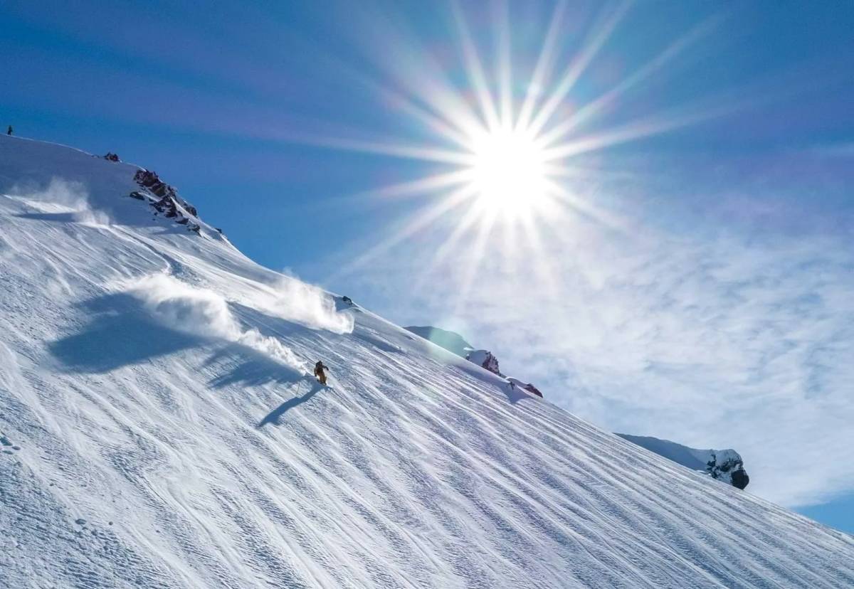
Mt Dobson
400 hectares, 14 runs, 430m vertical. Family-owned Mt Dobson delivers sun-soaked intermediate terrain in New Zealand's Mackenzie.

Season 2026
Opens
28 June 2026
Closes
27 Sept 2026
Days open
91
Annual snow
2.5m
The Overview
Michael Fulton
Melbourne-based skier and snowboarder with 50+ resorts across 5 continents. Specialises in Australian resorts and international resort comparisons.
Mt Dobson operates across 400 hectares of skiable terrain with 14 marked runs spanning a 430-metre vertical drop from 1600 to 2030 metres elevation. The field sits in a 3-kilometre-wide treeless basin at the southern end of the Two Thumb Range in Te Kahui Kaupeka Conservation Park. Annual snowfall averages 2.54 metres, with the base at 1725 metres claiming the title of New Zealand's highest car park. The family-owned commercial operation opened in 1979 following construction of a 15-kilometre access road.
Terrain splits 25 per cent beginner, 50 per cent intermediate, and 25 per cent advanced across the sun-facing basin. The Opuha Saddle Triple Chair accesses wide groomed runs and a natural halfpipe beneath the lift line. The Fairlie Ridge T-Bar climbs to 2015 metres, opening steeper terrain including Te Kahui Steeps and Stackit. Advanced skiers hike to Dobson Peak at 2095 metres for views across Lake Tekapo, Lake Pukaki and Aoraki/Mt Cook.
The relaxed club-field atmosphere draws families and learners to wide, uncrowded slopes. Weekdays see minimal lift queues even during peak season. The Foote Rest Café serves Fairlie Bakehouse pies and barista coffee at the base lodge alongside basic rental and ski school facilities. No on-mountain accommodation exists; visitors stay in Fairlie or Lake Tekapo.
Operating independently without major pass affiliations, Mt Dobson runs promotions including Mates Rates Mondays with two-for-one tickets and half-price Tuesdays for women outside school holidays. Adult day passes cost NZ$118 regular, NZ$140 peak. The 2026 season opens 28 June and closes 27 September. Best suited to intermediates, families, and budget-conscious skiers seeking uncrowded terrain and quintessential Kiwi skiing.
430m
Vertical
14
Runs
988 acres
Skiable
2.5m
Annual snow
The Terrain
14 runs across 988 acres skiable
Mt Dobson is a family-owned field in the Two Thumb Range above Fairlie, in South Canterbury, covering around 400 hectares. Skiing falls 430 metres from 2,030 to 1,600 metres across 14 runs, and Sanity has an easy-going split of 25% beginner, 50% intermediate and 25% advanced. The terrain is a wide, treeless basin with a sunny aspect, which keeps it open and easy to read. A triple chair, two T-bars, a platter and a free rope tow lift riders. A gravel access road climbs from State Highway 8, so check conditions and carry chains.
The Opuha Saddle chair delivers wide groomed runs and a natural halfpipe, and the Fairlie Ridge T-bar climbs to 2,015 metres for steeper options such as Te Kahui Steeps and Stackit. Skiers prepared to hike can reach Dobson Peak, with views across the Mackenzie Basin and toward Aoraki Mt Cook. A large beginner area keeps families happy and a cafe sits at the base. Mt Dobson suits intermediates, progressing learners and anyone after a wide, uncrowded basin, and its gentle shape makes it a good first experience of a New Zealand commercial field.
Terrain split
14
runs
14 runs across 4 grades
Beginner4 runs · 25%
Intermediate7 runs · 50%
Advanced4 runs · 25%
Expert0 runs · 0%
Time it right
When to visit Mt Dobson
The 2026 season runs from 28 June through 27 September, with opening subject to snow coverage. Typical operations span early July to early October depending on conditions. Historical opening dates vary from late June to early July across recent years. The field opened 6 July 2025 and 5 July 2024, adjusting annually based on pre-season accumulation.
Annual snowfall averages 254 centimetres at the high-altitude base. The second week of August typically delivers peak snowfall with 26 centimetres over 2.5 snowy days. August offers the most reliable coverage with average depths reaching 108 centimetres at summit and 49 centimetres at base. The southwest-facing basin receives regular dumps from southerly fronts whilst sitting high enough to stay cold when lower fields receive rain.
July and August provide optimal powder conditions before spring softening begins in September. The sun-drenched basin suits learners but can produce variable off-piste conditions through sun baking. Mid-August combines deepest snowpack with 16 average sunny days, balancing coverage and weather. Early season typically offers lighter crowds and discounted passes before school holidays.
Weekly promotions include Mates Rates Mondays with two-for-one tickets and Chicks on Tuesdays offering women half-day rates for full-day access, both excluding school holidays. Birthday bonus grants free passes on your birthday. No night skiing operates. The field closes when spring temperatures compromise coverage, usually mid to late September depending on seasonal patterns.
Season 2026
28 June 2026
Opens
27 Sept 2026
Closes
91
Days open
2.5 m
Annual snow
The record
Historical snowfall at Mt Dobson
Daily snow reports at Mt Dobson go back to 2025, 2 winters on the books. Open the record to compare winters, lifts and piste.
55 cm
Snowiest day
24 Aug 2026
1251 cm
This winter · 2026
so far
710 cm
Typical winter
average of complete seasons
Winter totals
cm
Past wintersThis winter
Getting there
Getting to Mt Dobson, and where to stay
Mt Dobson occupies a southwest-facing basin in the Two Thumb Range at the southern end of Te Kahui Kaupeka Conservation Park in the Mackenzie Basin. The base sits at 1725 metres in South Canterbury on New Zealand's South Island, 29 kilometres west of Fairlie. Dobson Peak rises to 2095 metres immediately north of the ski area within the broader Southern Alps system.
Fairlie township lies 40 minutes east with population 800, offering motels, hotels, and farm stays plus the famous Fairlie Bakehouse. Lake Tekapo village sits 44 kilometres west, providing additional accommodation including hot pools and stargazing at the Aoraki Mackenzie International Dark Sky Reserve. Kimbell and Burkes Pass offer limited lodging closer to the access road. Timaru, 65 kilometres southeast, provides the nearest city services.
State Highway 8 between Christchurch and Queenstown passes the ski field turnoff 11 kilometres west of Fairlie and 18 kilometres east of Lake Tekapo. The 15-kilometre gravel access road climbs from the highway in 40 minutes, maintained to high standard with width for two vehicles to pass. Snow chains required when conditions dictate. Drive time from Fairlie township totals approximately 1 hour including the mountain road.
Christchurch International Airport lies 184 kilometres northeast, requiring 2.5 hours driving via Highway 1 south then Highway 8 west. Queenstown Airport sits 280 kilometres southwest with 3-hour drive time. Timaru Airport offers closest access at 45 minutes, connecting to Wellington. No shuttle services operate; private vehicle or rideshare necessary. Atomic Shuttles runs daily buses from Christchurch and Queenstown to Fairlie and Tekapo.
Where to stay
Search all stays →Stays map loads when you scroll here
Hotels and lodges near Mt Dobson, powered by Stay22.
Good to know
Frequently asked
When is Mt Dobson's ski season?
Mt Dobson's 2026 season typically runs from June 28 through September 27. That window is roughly 91 calendar days, though daily operations depend on snow cover, weather, and lift maintenance.
Resorts in South Island, New Zealand often announce firm dates closer to winter; check the live snow report before you travel if you are planning around opening weekend or spring closure.
How much skiable terrain does Mt Dobson have?
Mt Dobson lists about 988 acres skiable of marked terrain spread across 14 named runs (400 hectares alongside 988 acres skiable). That footprint is what most riders experience on a lift-served day. Side-country or hike-to terrain may sit outside these published numbers.
Use the trail map to see how the mountain is laid out and where the longest fall-line runs connect back to base.
What is the terrain like at Mt Dobson?
Trail grading at Mt Dobson breaks down roughly as 25% beginner, 50% intermediate, 25% advanced. The mix is balanced enough for mixed-ability groups, so learners can stay on marked green/blue (Green/Blue) terrain while stronger skiers peel off to steeper pitches.
Percentages describe the resort's published piste mix, not vertical metres. A mountain with modest "expert" stats can still feel demanding if the steep terrain is long or exposed. Read the trail map alongside these numbers when planning your route.
How many lifts does Mt Dobson have?
Mt Dobson operates 3 lifts across 2 lift types. The fleet includes 2 t-bars and 1 triple chair.
Lift mix affects how quickly you can lap your favourite zones. Gondolas and trams move big crowds to mid-mountain, while shorter chairs and surface lifts often serve learning areas or local pods. Check the live snow report on ski days for real-time open/closed status.
What is the elevation and vertical drop at Mt Dobson?
Base elevation at Mt Dobson is about 1,600 m (5,249 ft), with the summit around 2,030 m (6,660 ft), giving roughly 430 m (1,411 ft) of vertical from base to top.
Higher start heights usually mean colder, drier snow holding longer into spring, but also thinner air and faster weather changes. Pack layers if you are riding from village level to summit lifts in one day.
How much snow does Mt Dobson get each season?
Mt Dobson averages about 254 cm (100 inches) of natural snowfall per season. That is a long-term climate figure. Any single winter can run well above or below it depending on storm track and temperature.
For trip planning, pair this baseline with the live snow report and webcams: fresh cycles show up in overnight totals and summit cameras long before season averages tell you much about today's surface.
Where can I buy Mt Dobson lift tickets and how much do they cost?
Published single-day adult pricing on SnowStash currently spans NZ$18 to NZ$140, depending on date band and whether you are buying peak or regular windows. Tickets can be bought online through the resort's official checkout (linked from our lift tickets page) or at on-mountain ticket windows, subject to availability.
Buying ahead of peak holidays and weekends generally saves money and guarantees access on sold-out days. Before you commit, scan the snow report and webcams so you are paying for conditions that match your expectations.
How can I check snow and mountain conditions at Mt Dobson before I go?
SnowStash pulls together 3 live mountain webcams, a downloadable piste map, and the daily snow report for Mt Dobson so you can plan from home. Webcams refresh on a short interval and are the fastest way to judge visibility, wind exposure, and whether storm snow is still falling.
The snow report adds structured totals, base depth where available, and lift/trail status when the resort publishes it. Use both together: cameras show what it looks like right now, and the report summarises numbers your group can compare day to day.
Does Mt Dobson have a trail map?
Yes. The downloadable PDF/image map is better for offline planning, marking meeting points, and understanding the full mountain layout at a glance.
Both versions are on the trail map page for Mt Dobson. If you are navigating with kids or meeting friends across separate lifts, screenshot or print the static map and keep the live map open on your phone for operational updates.
Where is Mt Dobson located?
Mt Dobson sits in South Island, New Zealand. That regional context matters for travel planning: airport transfers, snow tyres, and typical storm patterns all follow geography as much as resort marketing.
Browse nearby accommodation from the resort page if you are comparing village-base vs valley-base stays; where you sleep changes your first lift of the day more than most trail stats do.
Latest News
From the SnowStash desk
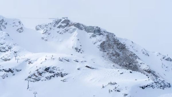
Whistler Blackcomb Rockslide Zone Stays Closed Through 2026-27 Season
A section of Whistler Peak terrain will stay closed all 2026-27 season, Vail Resorts has confirmed, with rockslide mitigation work continuing into summer 2027. Peak Express is still expected to run this winter, but locals are already arguing about what’s actually off limits, whether the Whistler Bowl is gone, and why the news landed after pass sales wound down. Here’s where things stand.
7 Nov 2026
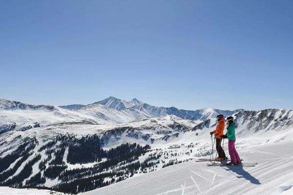
Loveland Ski Area Opens for 2026-27 and Marks 60 Years of Snowmaking
Loveland is open. The Colorado ski area started Chet’s Dream turning on Saturday 7 November to kick off 2026-27, with $60 adult lift tickets to mark 60 years of snowmaking. Expect three runs, nearly 1,000 vertical feet (about 300 metres) of top-to-bottom skiing, live music on the Basin Patio and no beginner terrain yet. Here’s what’s open, what it costs and when Loveland Valley follows.
7 Nov 2026
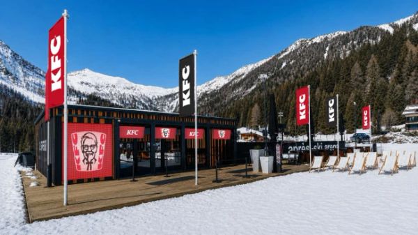
KFC Is Coming to the Slopes at Cortina and Madonna di Campiglio
Fried chicken is heading up the Dolomites. From 5 December KFC will run two restaurants on the slopes - one at 2,123 metres at Cortina, one at 1,700 metres at Madonna di Campiglio - and the polenta-and-canederli crowd has opinions. Local politicians, conservation groups and plenty of Facebook commenters are calling it a step too far, while others just want a cheaper lunch. Here’s what’s on the menu and what’s the fuss.
5 Nov 2026
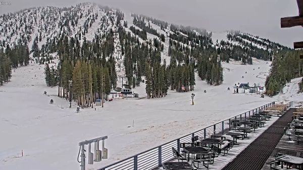
Mt Rose Aims to Open First in Tahoe on November 6
Mt Rose is going for the first-in-Tahoe title, with the Lakeview Express due to spin at 9 a.m. on Friday, November 6. One main lift, three runs and plenty of snowmaking, sitting on the highest base elevation in the region at 8,260 ft. Here is what is open, what is not (sorry, tubing fans), and how the early North American openings are stacking up.
4 Nov 2026
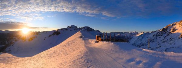
Europe Snow Forecast: Serre Chevalier Leads With 82 cm Over the Next 10 Days
Europe has had a quiet start to November, but our 10-day forecast has Serre Chevalier on 82 cm and Les 2 Alpes on 71 cm. Two pushes are lined up: a western Alps top-up from Friday, then a bigger, wider system on Thursday, November 12 and Friday, November 13 that reaches Italy and Switzerland. Full leaderboard inside.
4 Nov 2026
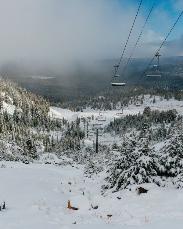
Mammoth Mountain Opens Early on November 5 With Up to 33 Inches of Snow in the Forecast
Mammoth just moved opening day forward to Thursday, November 5, eight days ahead of schedule. A snowy weekend and cold snowmaking nights did the work, and our forecast shows up to 33 inches more landing on November 13 and 14. Here is what opens, what the weather looks like and where Mammoth sits among the early Ikon Pass openers.
3 Nov 2026
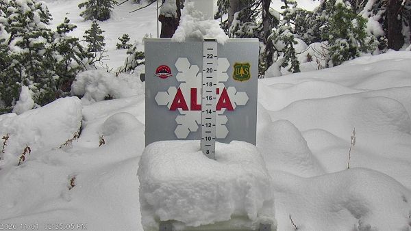
Utah Snow Storm Builds Early-Season Base Ahead of November Openings
Rain down low, snow up high, and a snow report full of zeros that mostly means ‘not updated yet’. Utah’s first proper storm of 2026-27 is rolling through the Wasatch, Snowbird’s snow stake is closing in on 10 inches, and Brian Head is five days from opening day. Early November snow rarely looks like much, but it is the layer every November opening date is built on. Here is where it stands.
1 Nov 2026
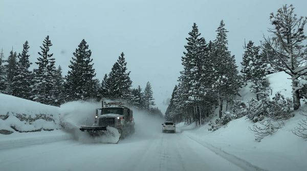
Sierra Nevada Halloween Storm: Dodge Ridge Forecast to Lead With 19 Inches
Halloween weekend brings a wet, windy storm to the Sierra Nevada. Our five-day forecast has Dodge Ridge on top with 19 in, followed by Bear Valley at 15 in and Mammoth Mountain at 12 in, with most of it landing on Saturday. A winter weather advisory covers the Tahoe Basin and Mono County until 7 AM Sunday, gusts could reach 47 mph and the freezing level swings between 4,900 and 8,700 ft, so some bases will see rain. A dry spell follows from Monday.
31 Oct 2026