TL;DR
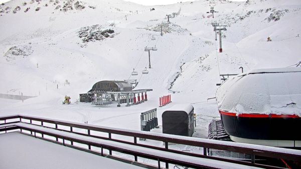
Washington's ski resorts have just received a serious dump, with several areas recording over 50cm of fresh snow in a single 24-hour period. Stevens Pass, Snoqualmie, and White Pass are all showing big numbers, and the broader Pacific Northwest — including Oregon and Montana — has copped a solid hit too. Here's what the data is showing right now.
The Pacific Northwest Has Had One of Its Best Snow Days of the Season
Mid-March isn't supposed to be when the Pacific Northwest delivers its biggest dumps — but nobody told this storm. In the last 24 hours, Washington state's ski resorts have recorded some of the highest single-day snowfall totals of the 2025-26 season, with several areas pushing past the 50cm mark. If you've been watching the forecasts and waiting for a sign to book flights, this might be it.
Snoqualmie Leads the Pack
Both Alpental and Summit West at Snoqualmie recorded 56cm in the last 24 hours — the highest figures across the region. That's a serious amount of snow by anyone's standards. Alpental is currently sitting at 47% of terrain open, which isn't bad given it's mid-March and the resort is still building on a strong recent base. The previous five days had already delivered 168cm across both resorts, so what's sitting under this fresh snow is a well-consolidated base rather than a thin crust over bare ground.

Stevens Pass Closes In With 53cm
Stevens Pass came in just behind Snoqualmie with 53.3cm of new snow in the last 24 hours, making it the top resort on the SnowStash forecasts for the period. The resort is running at 50% of terrain open and sits at 1,501m — solid mid-mountain elevation for Washington. What's more impressive is the context: Stevens Pass had already accumulated 175cm in the five days leading up to this storm. That's a substantial snow week by any measure. There's also 10cm more forecast over the next five days, so conditions should hold reasonably well heading into the coming week.