
Mount Washington
648 hectares, 82 runs near Courtenay. Vancouver Island's largest ski resort, ocean views, substantial snowfall.
Season 2026 - 2027
Opens
18 Dec 2026
Closes
11 Apr 2027
Days open
114
Annual snow
10m
The Overview
Michael Fulton
Melbourne-based skier and snowboarder with 50+ resorts across 5 continents. Specialises in Australian resorts and international resort comparisons.
Mount Washington's summit reaches 1,558 metres, dropping 453 vertical metres to a base at 1,105 metres across 82 runs spread over roughly 648 hectares near Courtenay, British Columbia. Terrain splits 43 per cent intermediate, 22 per cent each for advanced and expert, and 13 per cent beginner, with average annual snowfall of roughly 10.0 metres. Ten lifts, including three quad chairs and one six-person chair, serve the mountain alongside one triple chair and five surface lifts.
Mount Washington holds the distinction of being Vancouver Island's largest ski resort, one of the first master-planned mountain resorts developed in British Columbia. Its considerable snowfall for a comparatively low-elevation coastal mountain, combined with genuine ocean views from the upper slopes, has built the resort's reputation as Vancouver Island's primary winter destination.
Campbell River businessman Alex Linton, an avid skier, was struck by Mount Washington's height and snowpack in 1975, and together with fellow businessman Henry Norie began developing the idea into a resort. Construction commenced in 1977, and Mount Washington Alpine Resort opened in 1979 as one of British Columbia's first purpose-planned mountain resort developments.
The resort moved into its current ownership generation with Pacific Group Resorts in 2015. Mount Washington's exact current pass affiliation is not confirmed in available resort information. Adult daily tickets run from 89 to 105 Canadian dollars, with a separate Family Friday Night ticket available at 25 Canadian dollars.
453m
Vertical
82
Runs
1,601 acres
Skiable
10m
Annual snow
The Terrain
82 runs across 1,601 acres skiable
Mount Washington is Vancouver Island's largest ski area, with 82 runs over about 648 hectares and a 453-metre vertical between 1,105 and 1,558 metres. The grading is unusually hard-edged for a modest vertical: 43% intermediate, 22% advanced, 22% expert and 13% beginner. Pacific moisture delivers around 10 metres of snow in a season, remarkable for a coastal mountain, and the upper slopes look out over the ocean. Because the drop is short, the interest comes from steep, treed pitches and variety rather than long, unbroken descents, and the tree skiing holds snow well.
The Outback, a roughly 160-hectare double black playground of glades, bowls and steep drops, is served by the Boomerang Quad. The Eagle Chair gives early ocean views, the Sunrise area includes runs such as Rainbow and Fantastic, and Coaster and lower East Bull carry quiet groomers. Beginners have several surface lifts to learn on, away from the faster traffic. Mount Washington suits Island families, intermediates, and glade and powder skiers who can handle variable coastal snow. Those seeking big alpine vertical will find it comparatively short, and the weather can change quickly.
Terrain split
82
runs
82 runs across 4 grades
Beginner11 runs · 13%
Intermediate35 runs · 43%
Advanced18 runs · 22%
Expert18 runs · 22%
Time it right
When to visit Mount Washington
The 2025-26 season at Mount Washington ran from 12 December 2025 to 5 April 2026, a roughly sixteen-week season supported by average annual snowfall of around 10.0 metres. This considerable snowfall for a coastal, comparatively low-elevation mountain reflects Vancouver Island's exposure to Pacific storm systems.
Midwinter, from December through February, typically brings the most consistent, substantial snowfall to Mount Washington's varied terrain. As Vancouver Island's largest ski resort, Mount Washington draws considerable visitation from across the island, including Victoria and Nanaimo, alongside destination travellers.
Mount Washington's Family Friday Night ticket programme continues to draw strong evening visitation from local Comox Valley families throughout the season. School holiday periods bring substantial family visitation given the resort's approachable terrain mix and considerable scale.
Specific event programming beyond standard operations is not confirmed in available resort information. Since Pacific Group Resorts' 2015 acquisition, Mount Washington has continued building on more than four decades of history since its 1979 founding by Henry Norie and Alex Linton. The resort's status as Vancouver Island's largest ski area remains central to its enduring popularity.
Season 2026 - 2027
18 Dec 2026
Opens
11 Apr 2027
Closes
114
Days open
10 m
Annual snow
Getting there
Getting to Mount Washington, and where to stay
Mount Washington sits near Courtenay, British Columbia, in the Comox Valley area of Vancouver Island, with a base elevation of 1,105 metres and a summit at 1,558 metres across a 453-metre vertical drop over roughly 648 hectares. This setting places the resort mid-island, with genuine ocean views from the upper slopes.
Courtenay and the broader Comox Valley offer extensive lodging, dining and services within a manageable drive of the resort, providing Mount Washington's primary local visitor base.
Strathcona Parkway provides direct access to the resort from Courtenay. Winter driving conditions on this route can include snow and ice at higher elevations, though the well-travelled road is regularly maintained given the resort's status as Vancouver Island's largest ski area.
Comox Valley Airport, roughly a 30-minute drive away, is the primary gateway for visitors flying directly to the region, with Mount Washington's considerable island-wide draw supporting visitation from Victoria, Nanaimo and communities across Vancouver Island.
Where to stay
Search all stays →Hotels and lodges near Mount Washington, powered by Stay22.
Latest News
From the SnowStash desk

Europe Ski Resorts Open Now: What Is Skiable in Mid-October 2026
Europe’s ski season is open, technically. After a record-warm summer, glaciers in Austria, Switzerland and Italy are running a few pistes apiece, Sölden, Stubai and Kitzsteinhorn started late, Titlis has pushed back to 24 October, and Zermatt reopens a few lifts on 14 October after more than two months shut. Finland’s Levi and Ruka are skiing on stored snow. Here is what is open, and what you actually get at each.
14 Oct 2026

Zermatt Plans World Cup Downhill Return on the Gornergrat for 2028
Zermatt is having another crack at a World Cup downhill, and this time nobody has to cross a border. Around 13 million Swiss francs is going into rebuilding the Gornergrat piste, including a jump fed by a roughly 300-metre in-run across the roof of the Gornergrat Railway gallery, with the Matterhorn lined up behind it for the TV cameras. First men’s race is pencilled in for March 2028, pending FIS homologation.
14 Oct 2026

Mt. Rose Begins Snowmaking for the 2026-27 Season at Lake Tahoe
Lake Tahoe’s highest base elevation is paying off early: Mt. Rose has started making snow for 2026-27 after the first flurries and a cold snap. The Nevada resort is backing it with nearly US$2 million in upgrades, including a replacement snowmaking main line, a new PistenBully groomer and restraint bars on every lift. Opening day is yet to be confirmed, though Heavenly and Northstar are already eyeing 20 November.
13 Oct 2026

Utah Ski Resorts 2026-27: What’s New at Alta, Deer Valley, Powder Mountain and More
Utah is still building flat out. For 2026-27, Powder Mountain opens a steep new Skytrac chair into more than 1,000 acres of advanced terrain, Deer Valley adds 200 acres on Hail Peak, Sundance gets a new quad and Park City adds a gondola from its new parking structure. Snowmaking is expanding almost everywhere, Eagle Point stays closed after the Cottonwood Fire, and the 2034 Games are setting the pace. Here’s what’s new, resort by resort.
13 Oct 2026

Mt Hutt Invests NZ$12 Million in Base Area, Tripling Its Sun Deck
Mt Hutt is getting busier, and its base lodge is about to catch up. NZ$12 million goes into a heated sun deck roughly three times the current size (430 m² to 1,300 m²), plus a new toilet block, heated steps down to snow level, extra storage and a new food and beverage outlet. Building starts after the 2026 season, with everything due for winter 2027.
11 Oct 2026

Vermont Ski Resort Opening Dates 2026-27: Few Dates Set, Killington Waits on the Cold
Vermont's season is slow to take shape. Stratton is tentatively targeting 18 November and Sugarbush 21 November, while Pico has Friday 11 December on the calendar. Killington never sets a date and opens when the snowmaking allows, and Vail Resorts has yet to name days for Stowe, Okemo and Mount Snow. The forecasts disagree about snow, and the main El Niño worry for the Green Mountains is warmth.
9 Oct 2026
Crans-Montana 2027 World Championships President Resigns Ahead of Fraud Hearing
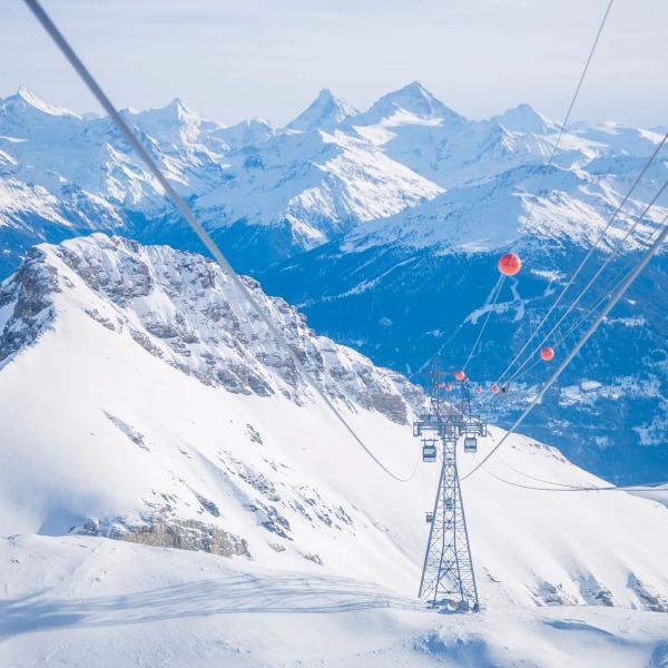
Less than four months out from the Crans-Montana 2027 World Championships, the man running the organising committee has stepped down. Claude-Alain Schmidhalter resigned as Swiss-Ski vice president and OC president after being indicted over a business dispute unrelated to skiing. He denies the allegations and faces court on October 27. Interim leaders are in place for the February 1-14 event.
9 Oct 2026
Kelly Canyon, Idaho, Adds Snowmaking, a Bigger Terrain Park and More Parking for 2026-27
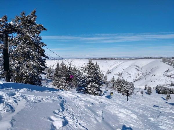
Kelly Canyon had a rough 2025-26, and the Idaho resort has spent the summer making sure it doesn’t repeat. Snowmaking now reaches the top of Goldrush, the terrain park is doubling in size with a stereo system, lights and a snack shack, and the car park is getting bigger. Grooming is stepping up too. Target opening is December 4, conditions permitting.
9 Oct 2026