
South Island New Zealand Storm to Deliver 50-80 cm Through Thursday
Published Date:

Melbourne-based skier and snowboarder with 50+ resorts across 5 continents. Specialises in Australian resorts and international resort comparisons.

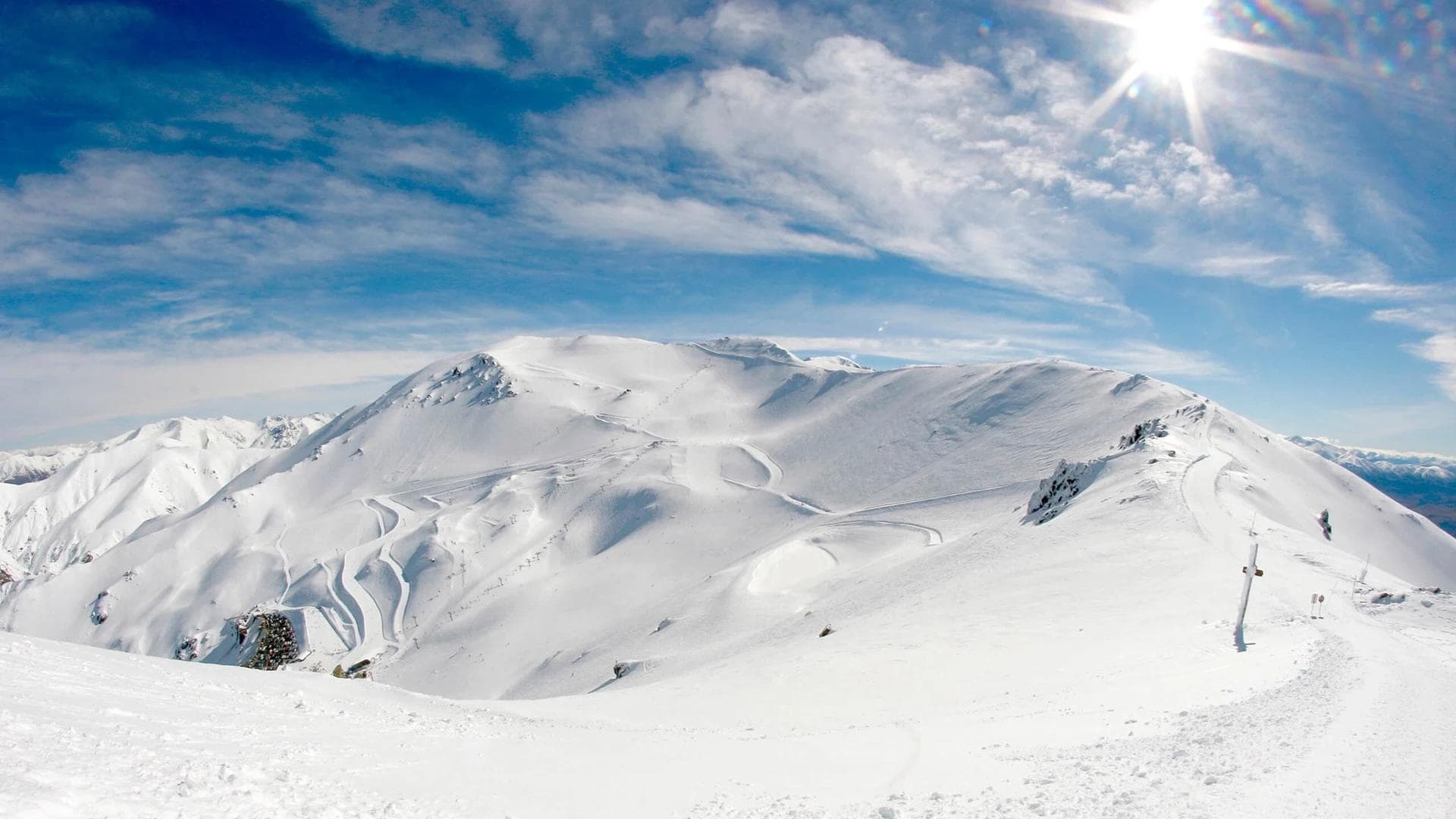
Canterbury ski areas sit in the bullseye as multi-day storm targets South Island
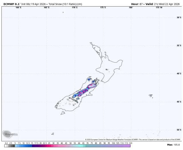
A storm system moving through New Zealand's South Island through Thursday morning is forecast to deliver 50-80 cm to Canterbury's higher-elevation ski terrain, with Mt. Hutt and Porters positioned to receive the bulk of accumulation. The North Island receives a weaker pulse with more problematic conditions, while Queenstown and Wanaka remain largely on the storm's periphery.
South Island timing and snow levels
The main precipitation window runs Monday through Wednesday, with the strongest period occurring Monday and Tuesday before gradually tapering Wednesday. Snow levels are forecast to drop from around 1,300-1,500 metres early Monday to 700-1,000 metres by Monday night across better-positioned southern terrain.
Snow density improves as the system progresses. Early accumulation arrives at a denser 7-8:1 ratio before transitioning to 11-14:1 by Monday night and Tuesday as colder air settles in. Wind remains a factor throughout, with gusts of 70-90 km/h easing only gradually.
Canterbury forecast totals
Mt. Hutt leads projected totals at 61-81 cm, followed by Porters at 46-62 cm and Mount Dobson at 39-52 cm. The forecast models show reasonable agreement on overall structure and timing, with the primary uncertainty centred on intensity levels at exposed eastern terrain, particularly during Wednesday's pulses.
Ohau sits further from the core path with 9-12 cm forecast, while Queenstown-area resorts - Cardrona, Treble Cone, Coronet Peak and The Remarkables - are tracking minimal accumulation, ranging from 1-3 cm despite colder air arriving in the region.
North Island receives weaker, wind-affected pulse
Tūroa and Whakapapa face a later and more problematic event running Tuesday into early Thursday. Snow levels hover around 1,400-1,800 metres through much of the storm before lowering late Wednesday, limiting accumulation to upper-mountain terrain.
Tūroa is forecast for 20-28 cm, with Whakapapa receiving 10-14 cm. Snow density remains heavier than the South Island at 5-7:1 through the core period before improving late. The more significant operational concern is wind, with upper-mountain gusts forecast at 100-130 km/h.
Forecast model agreement decreases for the North Island compared to Canterbury, with divergence on snowfall totals even as models converge on strong wind and marginal snow levels creating mixed precipitation at lower elevations.
Post-storm outlook remains quiet
After Thursday morning, forecast guidance indicates a mostly dry period with temperatures rising to 4-8°C at many mountain locations through the weekend. A minor system late in the forecast period could deliver 5-15 cm to favoured South Island terrain, though model agreement on this potential refresh is weak.
Forecast confidence is highest from Monday 20 April through Thursday morning 23 April. Beyond that window, expectations should remain conservative given increasing model spread and the limited scope of any late-period activity.
What it means for early-season base building
This system provides useful early-season coverage for Canterbury ski areas, with Mt. Hutt and Porters positioned to build meaningful base depth ahead of opening dates. The storm's structure - lowering snow levels and improving snow density as it progresses - supports quality accumulation rather than heavy, dense snow that complicates grooming.
The North Island receives less benefit, with wind likely creating more operational headaches than the modest snowfall totals justify. Queenstown and Wanaka remain sidelined from this event, receiving minimal accumulation despite the colder air mass.
With most New Zealand ski areas still closed, this storm functions primarily as a base-building exercise rather than an immediate rideable powder cycle. The dry period forecast to follow means this week's accumulation will need to carry resorts through at least several days before the next opportunity arrives - if forecast models tracking a weak late-period system verify. Those planning early-season trips to Canterbury have reason for cautious optimism about coverage, while anyone eyeing the North Island or Queenstown-Wanaka region should temper expectations accordingly.