
The Overview
Michael Fulton
Melbourne-based skier and snowboarder with 50+ resorts across 5 continents. Specialises in Australian resorts and international resort comparisons.
Sahoro operates across 610 vertical metres from a 420-metre base to a 1,030-metre summit on the slopes of Mount Sahoro in central Hokkaido. The ski area comprises 21 runs spread across 25 kilometres of marked terrain, with 25 per cent beginner runs, 40 per cent intermediate and 35 per cent advanced. Annual snowfall averages 8.7 metres of characteristically dry, low-moisture powder typical of inland Hokkaido locations. The resort lies at the foot of the 1,060-metre Mount Sahoro within the Hidaka Mountains.
Beginner runs are designated as Streets, intermediate trails as Avenues, and advanced terrain as Ways, with the north-facing runs prefixed with N. A 2,700-metre beginner run descends from summit to base, whilst five ungroomed north-facing courses accessed by the Sahoro Express quad chair deliver steep terrain including a 39-degree pitch. The front face consists primarily of an east-facing bowl, with the north bowl offering tree skiing through well-spaced conifers below the 1,060-metre tree line. Advanced riders find quality terrain in the tight trees off South Street and North Way.
Sahoro maintains exceptionally low crowd levels compared to nearby Niseko and Furano, with fresh tracks often available into the afternoon. During the 2024-25 season, 65 of 129 operating days recorded clear skies, reflecting the resort's inland Tokachi location east of the Hidaka range. On-mountain facilities include a single restaurant at the gondola base, whilst two slopeside hotels provide ski-in access - Club Med Sahoro and Sahoro Resort Hotel. The resort offers snowshoe tours, snowmobile trials, night skiing on select dates, and stargazing groomer tours.
Sahoro operates independently without major pass affiliations, with daily lift tickets priced at 5,800 yen standard and 6,300 yen peak. The 2025-26 season runs from 1 December to 6 April across 127 days. The resort suits families seeking uncrowded slopes, intermediates wanting groomed carving terrain, and advanced skiers who appreciate tree skiing without the international crowds of Japan's major destinations. Proximity to Furano (32 kilometres) and Tomamu (68 kilometres) enables multi-resort trips.
610m
Vertical
21
Runs
346 acres
Skiable
9m
Annual snow
The Terrain
21 runs across 346 acres skiable
Sahoro is an uncrowded inland resort of about 140 hectares in the Tokachi region, with 21 runs and 610 vertical metres from 1,030 metres to 420 metres. The grading is 25% beginner, 40% intermediate and 35% advanced, with no expert-rated terrain, so the share of steeper skiing is high for central Hokkaido. A gondola, three quads, a triple, three doubles and a T-bar serve the mountain, and about 8.7 metres of dry snow falls in a typical winter. Because few international visitors make the trip, fresh tracks can last well into the afternoon. It is a good fit for skiers wanting space and quality snow.
Runs carry a distinctive naming system: Streets for beginners, Avenues for intermediates and Ways for advanced skiers, with an N prefix on the north-facing courses. A 2,700-metre beginner run descends from the summit to the base, one of the longer learner routes you will find. Five ungroomed north-facing courses off the Sahoro Express quad deliver steep skiing, including a pitch around 39 degrees. The north bowl holds well-spaced conifer trees, and the tight trees off South Street and North Way suit advanced skiers. Strong intermediates ready to step up and advanced skiers after quiet powder will get the most from Sahoro.
Terrain split
21
runs
21 runs across 4 grades
Beginner5 runs · 25%
Intermediate8 runs · 40%
Advanced7 runs · 35%
Expert0 runs · 0%
Time it right
When to visit Sahoro
The 2025-26 season operates from 1 December 2025 to 6 April 2026, spanning 127 days. Sahoro typically opens in early December and closes in early April, following the standard central Hokkaido ski calendar. The resort maintains consistent operating hours, with weekend and holiday periods extending from 9:00 to 18:00, whilst weekdays finish at 16:00. Year-end and New Year operations run extended hours from 27 December through 4 January.
Annual snowfall averages 8.7 metres, with powder quality characteristically cold, dry and silky due to the inland Tokachi location. The resort receives less snow than coastal Hokkaido areas and northwestern resorts, benefiting instead from southern storm systems similar to nearby Tomamu. Base depths build reliably through the season, supplemented by snowmaking on select runs during early December when natural snowfall proves insufficient. Snow statistics show five snowy days per week as typical, with peak accumulation occurring in late December when weekly totals can reach 29 centimetres.
January through February delivers optimal powder conditions, with mid-winter temperatures averaging minus 9 to minus 11 degrees Celsius at mid-mountain elevations. March offers spring skiing with warmer temperatures and continued quality snow coverage. The resort's 60 per cent clear-sky rate provides exceptional visibility compared to heavy-snowfall regions, with December week four historically recording the season's heaviest snowfall. Powder stashes linger on shaded north-facing slopes well into afternoons due to low skier traffic and cold temperatures.
Night skiing operates on scheduled dates throughout the season, complementing the resort's activity calendar of brown bear hibernation observation tours, frozen lake wakasagi fishing, and evening stargazing groomer rides. The Shintoku Soba Festival celebrates the region's buckwheat harvest annually. Early season visitors should anticipate limited terrain until mid-December snowfall accumulates, whilst March and April provide uncrowded carving on groomed spring snow with extended daylight hours.
Season 2026 - 2027
3 Dec 2026
Opens
4 Apr 2027
Closes
122
Days open
9 m
Annual snow
Getting there
Getting to Sahoro, and where to stay
Sahoro sits in Shintoku town within Tokachi Subprefecture in central Hokkaido, positioned on the Karikachi Plateau at the northwestern edge of the expansive Tokachi Plains. The base village elevation sits at 420 metres, with the resort bordered by Daisetsuzan National Park to the north and surrounded by forested mountain terrain covering 90 per cent of Shintoku's 1,064 square kilometres. Mount Tomuraushi, reaching 2,141 metres, rises to the north as the highest peak in the area. The resort location places it roughly equidistant from three regional airports.
Shintoku town, population 5,309, lies 11 kilometres from the resort and serves as the nearest community with restaurants, bars and services. Obihiro city sits 54 kilometres east via National Road 274, requiring approximately 60 minutes by car. Furano resort lies 32 kilometres southwest, whilst Tomamu sits 68 kilometres to the north. Sapporo, Hokkaido's capital, sits 166 kilometres northwest, approximately 2 hours 40 minutes by road. The Tokachi region maintains strong agricultural character, known for dairy farming and buckwheat cultivation.
Road access follows National Road 274 from the Obihiro-Hiroo Expressway, with the drive from Obihiro requiring 60 to 80 minutes depending on conditions. From Sapporo, the journey spans 166 kilometres along the Doto Expressway and national roads. The Karikachi Pass route provides mountain access year-round. JR Shintoku Station on the Nemuro Main Line serves as the rail gateway, with all limited express trains on the Ozora (Sapporo-Kushiro) and Tokachi (Sapporo-Obihiro) routes stopping at the station. A free shuttle bus connects Shintoku Station to Sahoro Resort Hotel in 15 to 20 minutes, available to hotel guests by advance reservation.
Tokachi-Obihiro Airport sits 77 kilometres southeast, approximately 80 minutes by road via the Obihiro-Hiroo Expressway and National Road 274. Direct Sahoro Express buses operate during winter from Tokachi-Obihiro Airport to the resort in 1 hour 20 minutes. New Chitose Airport lies 154 kilometres southwest, with direct Sahoro Express bus service requiring 2 hours 15 minutes. Asahikawa Airport sits 105 kilometres northwest, roughly 1 hour 50 minutes by road. Rail connections via Shintoku Station provide an alternative, with transfers at Minami Chitose station required from New Chitose Airport.
Where to stay
Search all stays →Hotels and lodges near Sahoro, powered by Stay22.
Latest News
From the SnowStash desk
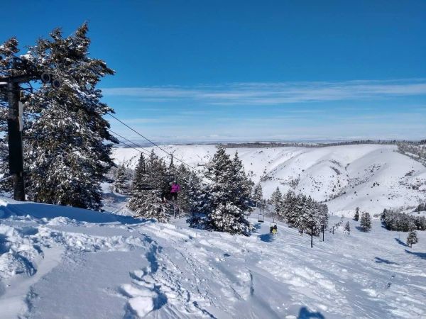
Kelly Canyon, Idaho, Adds Snowmaking, a Bigger Terrain Park and More Parking for 2026-27
Kelly Canyon had a rough 2025-26, and the Idaho resort has spent the summer making sure it doesn’t repeat. Snowmaking now reaches the top of Goldrush, the terrain park is doubling in size with a stereo system, lights and a snack shack, and the car park is getting bigger. Grooming is stepping up too. Target opening is December 4, conditions permitting.
9 Oct 2026
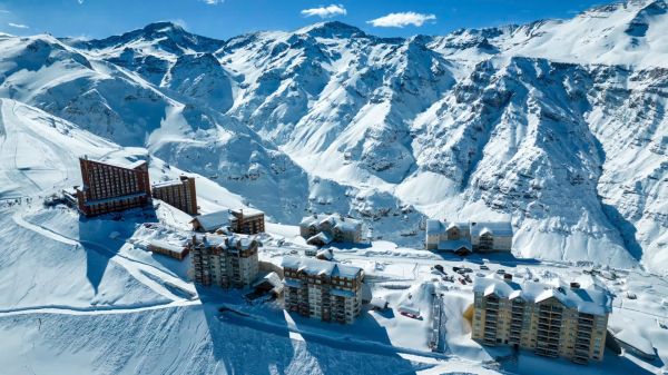
Valle Nevado Extends Season to November 8 After 108 cm in 48 Hours
Winter was meant to be winding down in Chile. Then Valle Nevado took 108 cm in 48 hours in early October, and the resort has pushed its closing date out to November 8 - its latest in 38 years of operation. That makes 143 days of skiing since opening day on June 19, with 690 cm banked for the season. Only part of the mountain is running while the storm settles, so check the mountain report before you plan a trip.
9 Oct 2026
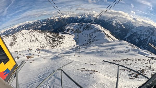
Alps Snow Forecast: Cold Front Brings Thursday Snow to the High Alps
The Alps look a lot more like winter today, for a day or so. A cold front is moving west to east, dropping up to 35 cm on high glaciers and peaks, with snow levels falling to around 1,500-1,800 m at times. Don’t plan a trip around it: mid-elevation snow will be thin and wet, every area is closed bar a limited Sölden glacier opening tomorrow, and warmer weather returns by Monday.
8 Oct 2026
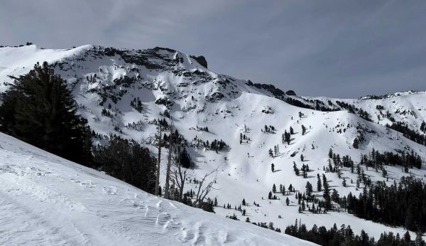
California Ski Resort Opening Dates 2026-27: Mammoth Leads, Tahoe Follows
Mammoth Mountain is first up in California, targeting Friday 13 November after a dusting of September snow. Heavenly and Northstar follow on 20 November, Palisades Tahoe on Wednesday 25 November and Sugar Bowl on 27 November, with Kirkwood on 4 December and June Mountain on 19 December. Plenty of smaller areas have no date yet. A super El Niño favours the Sierra, but a warmer storm track is the catch.
7 Oct 2026
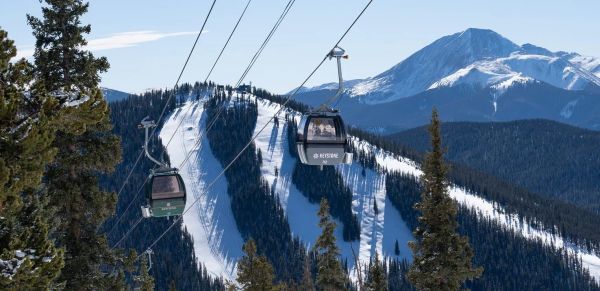
Colorado Ski Resort Opening Dates 2026-27: A-Basin and Keystone Race to Be First
Arapahoe Basin, Keystone and Winter Park are all chasing an October start, though none has a firm date yet. The first dated openers are Breckenridge and Copper on Friday 6 November, then Vail on 13 November, with most of the rest bunched around US Thanksgiving. Hesperus did not open at all last season. A super El Niño offers hope but no guarantee, and forecasters say the southern mountains have the better odds.
5 Oct 2026
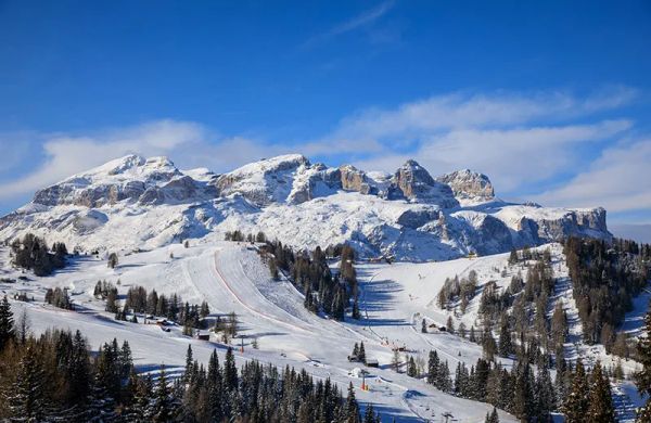
Dolomiti Superski 2026-27: Four New Gondolas, New Reservoirs and an €89 Peak Day Pass
Dolomiti Superski is spending around €100 million across its 12 areas before winter. Kronplatz gets a new 10-passenger gondola with a middle station, 3 Zinnen gets Helmissimo, and Val di Fassa swaps a chairlift for a gondola above Col Valvacin. New water-storage basins and upgraded snowmaking follow, and construction has started on the San Martino to Passo Rolle link. A peak adult day pass is €89.
4 Oct 2026
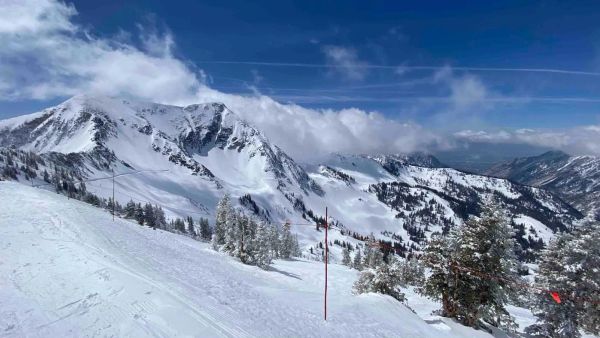
Utah Ski Resort Opening Dates 2026-27: Brian Head First, Eagle Point Out
Brian Head is targeting 6 November, though last year it aimed for 7 November and did not open until the 25th. Park City, Alta and Solitude are pencilled in for 20 November, Snowbird and Snowbasin for 27 November, and Deer Valley for 5 December. Eagle Point will stay closed after the Cottonwood Fire. A super El Niño is forecast, but the big snow is not expected until January.
4 Oct 2026
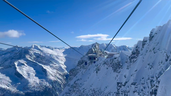
Hintertux Glacier Opens for 2026-27 With 12 Kilometres of Piste
Hintertux became Austria's second glacier to open for 2026-27 on Friday 2 October, after the Pitztal Glacier. Twelve kilometres of piste are running around the Olperer and Gefrorene Wand, served by one gondola and two drag lifts, with the Betterpark also open. Lifts officially run 8:15 am to 4:30 pm, but skiing stops at 2 pm for now.
4 Oct 2026