Craigieburn
Craigieburn: 503m vertical, 3 rope tows, ungroomed terrain. 90 minutes from Christchurch in New Zealand's Southern Alps.

Season 2026
Opens
8 Aug 2026
Closes
27 Sept 2026
Days open
50
Annual snow
3m
The Overview
Michael Fulton
Melbourne-based skier and snowboarder with 50+ resorts across 5 continents. Specialises in Australian resorts and international resort comparisons.
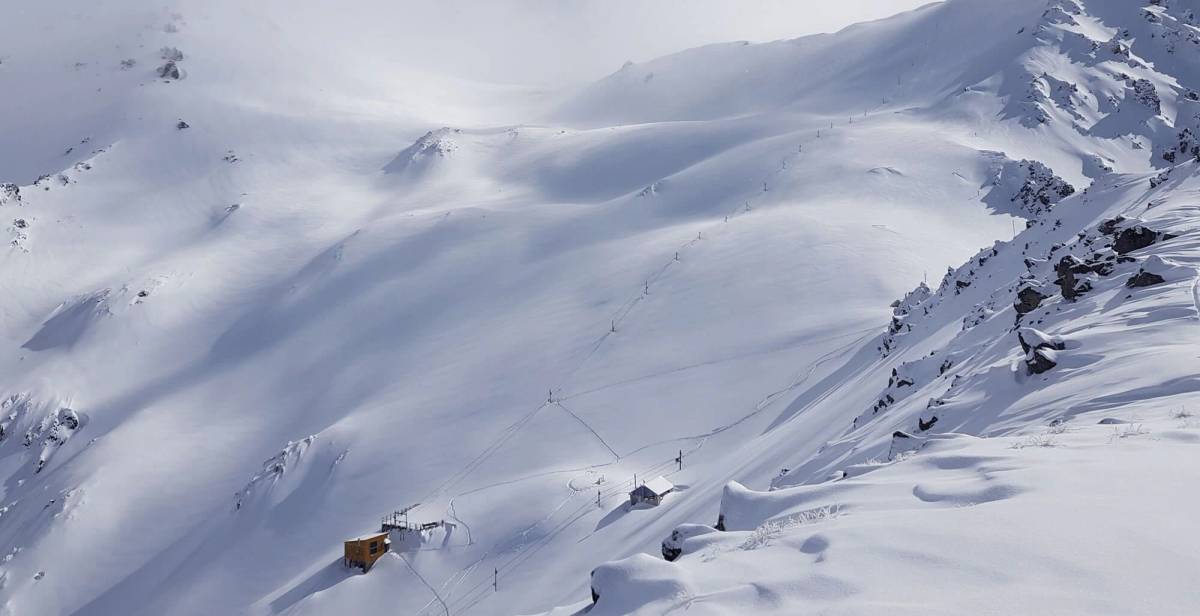
Craigieburn Valley operates between 1,308 and 1,811 metres across 400 hectares of ungroomed terrain in New Zealand's Southern Alps. The club field features 25 runs with 503 metres of vertical drop, split 55 per cent intermediate, 25 per cent advanced and 20 per cent expert. The field averages 3 metres of annual snowfall and draws accumulation from both easterly and westerly storm systems that cross the main divide. No beginner terrain exists, and the club recommends first-time visitors can confidently ski blue chairlift runs elsewhere.
Three rope tows service two distinct basins spanning separate ridgelines, with Hamilton Face and Allan's Basin providing the main descents. Middle Basin drops 600 metres to the access road through untracked powder when conditions align, often compared to heliskiing. Plake's Mistake run honours professional skier Glen Plake, who joined the club. All terrain remains ungroomed except by weather, and nutcracker rope tows require basic technique that staff demonstrate at the ticket office.
Two lodges sit below treeline in beech forest - Koroheke with 6-bed dorms and Matuhi with private rooms, together sleeping 65 guests. The Kea Ridge Day Lodge near the summit serves hot food and coffee with 360-degree views across the field. The Thirsty Kea Bar in Koroheke Lodge opens after 3pm for club members and day visitors. No ski rental exists on mountain, and visitors must bring chains for the 6-kilometre access road that winds through native beech forest.
The field operates under a shared pass system with adjacent Broken River, accessible via a 15-minute hike over Hamilton Col. The 2026 season runs 8 August through 27 September. Established in 1954, Craigieburn functions as a non-profit club run by volunteers who maintain all infrastructure. Member day passes cost NZ$50 to $70, whilst non-members pay NZ$90 to $110, and the Chill Pass provides weekend access across 11 Canterbury club fields.
503m
Vertical
25
Runs
988 acres
Skiable
3m
Annual snow
The Terrain
25 runs across 988 acres skiable
Craigieburn Valley is a volunteer-run club field in the Craigieburn Range of the Southern Alps, covering about 400 hectares of ungroomed terrain. The mountain falls 503 metres, from 1,811 to 1,308 metres, across 25 runs. Sanity lists no beginner terrain at all, with 55% intermediate, 25% advanced and 20% expert, which makes it a field for competent skiers who already handle blue runs elsewhere. Three Nutcracker rope tows climb two basins on separate ridgelines, and nothing is groomed except by the weather. Mountain beech forest sits below, with open alpine terrain above.
Hamilton Face and Allan's Basin carry the main descents, while Middle Basin drops about 600 metres to the access road through untracked snow when conditions align. Plake's Mistake is named after professional skier Glen Plake, a club member. Short walks from the top tow lead to Hamilton Peak and beyond, and a col crossing connects with neighbouring Broken River. Facilities are basic and run on volunteer labour. Craigieburn suits fit, self-sufficient intermediate to expert skiers who want steep, ungroomed, backcountry-feeling terrain without a helicopter, and who will learn the tow technique at the ticket office.
Terrain split
25
runs
25 runs across 4 grades
Beginner0 runs · 0%
Intermediate14 runs · 55%
Advanced6 runs · 25%
Expert5 runs · 20%
Time it right
When to visit Craigieburn
The 2026 season opens 8 August and closes 27 September, spanning approximately 7 weeks depending on snow coverage. Typical operating dates fall mid-July through late September, though club fields rely entirely on natural snowfall without snowmaking. The 1949 rope tow installation marks over seven decades of seasonal operation. Early and late season dates shift annually based on snowpack depth and weather patterns, with club members monitoring conditions before committing to road and facility access.
Craigieburn receives an average 3 metres of annual snowfall, with elevations between 1,308 and 1,811 metres capturing storms from multiple directions. Easterly and westerly systems both deliver accumulation, with westerlies crossing the main divide from the Tasman Sea. September typically offers peak coverage with average depths of 111 centimetres at the summit and 77 centimetres at the base. August delivers the most sunshine, averaging 15 clear days. The field features 31 sunny days per season on average, ranking amongst the 10 sunniest club fields in New Zealand.
Mid-winter months of July and August offer the coldest, driest powder, whilst September conditions soften with spring sun and longer daylight. Weekend crowds increase during school holidays, though rope tow access naturally limits visitor numbers compared to chairlift-serviced commercial fields. Fresh snow lingers on shaded slopes for days after storms due to minimal skier traffic. Late-season riding through September remains viable when natural snow persists, with corn snow developing on sun-exposed aspects.
The club hosts ski weeks and multi-day packages throughout winter, with accommodation including meals and instruction. No specific night skiing operates. Events vary annually, with club work parties in March and April preparing infrastructure before winter. Visitors should confirm operating days via the snow report, as the field only opens when coverage and access road conditions permit safe skiing.
Season 2026
8 Aug 2026
Opens
27 Sept 2026
Closes
50
Days open
3 m
Annual snow
Getting there
Getting to Craigieburn, and where to stay
Craigieburn sits on the northwestern end of the Craigieburn Range within Craigieburn Forest Park, 104 kilometres west of Christchurch in Canterbury. The field straddles two ridgelines at the headwaters of Craigieburn Valley, with the base lodges at 1,308 metres surrounded by mountain beech forest. State Highway 73 provides the access corridor between Christchurch and Arthur's Pass, with the field turnoff located 9 kilometres past Castle Hill Village. Hamilton Peak at 1,923 metres anchors the upper ridgeline, whilst Broken River field sits immediately adjacent across Hamilton Col.
Springfield township lies 33 kilometres east as the final fuel stop before Arthur's Pass, with basic accommodation options and services for Canterbury club field visitors. Castle Hill Village sits 100 kilometres from Christchurch at the base of Porters Pass, established in 1982 as an alpine settlement popular with winter sports visitors. The limestone boulder fields of Kura Tāwhiti Conservation Area border the access route. Arthur's Pass village lies 80 kilometres further west on Highway 73, offering alternative accommodation and the starting point for West Coast access.
The drive from Christchurch follows State Highway 73 northwest through the Canterbury Plains, climbing over Porters Pass at 945 metres before descending into the Craigieburn basin. Journey time averages 90 minutes covering 110 kilometres on sealed highway, with the final turnoff signposted Craigieburn Valley Ski Area. The 6-kilometre access road from Highway 73 winds through beech forest and requires 4WD or chains when snow or ice is present. Do not turn early at Broken River or continue past to Flock Hill Station.
Christchurch International Airport sits 110 kilometres east, serving as the primary gateway with direct flights from Australian cities and domestic connections. No public transport serves the field directly - visitors require private vehicles or pre-arranged shuttles. The TranzAlpine scenic train between Christchurch and Greymouth stops at Springfield and follows the Waimakariri River corridor through Arthur's Pass, though the service doesn't provide field access. Rental vehicles from Christchurch Airport offer the most practical transport option, with chains mandatory for winter mountain driving.
Where to stay
Search all stays →Stays map loads when you scroll here
Hotels and lodges near Craigieburn, powered by Stay22.
Latest News
From the SnowStash desk
Val Gardena to Alpe di Siusi Lift Link Back in Play After Court Ruling
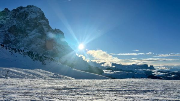
The Val Gardena-Alpe di Siusi lift link isn’t dead after all. A South Tyrol court has overturned Santa Cristina’s rejection of the new Monte Pana-Saltria link on procedural grounds, after the council skipped required public information sessions. Opponents want the missing sessions held and a fresh vote, and nothing has been approved. For now it’s still a bus between the two, but a plan first floated in 2017 is back in the conversation.
8 Nov 2026
Whistler Blackcomb Rockslide Zone Stays Closed Through 2026-27 Season
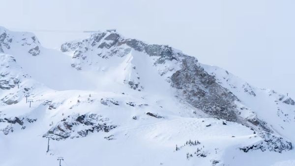
A section of Whistler Peak terrain will stay closed all 2026-27 season, Vail Resorts has confirmed, with rockslide mitigation work continuing into summer 2027. Peak Express is still expected to run this winter, but locals are already arguing about what’s actually off limits, whether the Whistler Bowl is gone, and why the news landed after pass sales wound down. Here’s where things stand.
7 Nov 2026
Loveland Ski Area Opens for 2026-27 and Marks 60 Years of Snowmaking
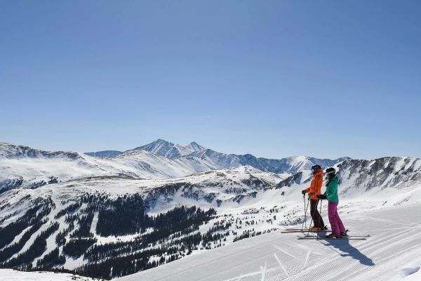
Loveland is open. The Colorado ski area started Chet’s Dream turning on Saturday 7 November to kick off 2026-27, with $60 adult lift tickets to mark 60 years of snowmaking. Expect three runs, nearly 1,000 vertical feet (about 300 metres) of top-to-bottom skiing, live music on the Basin Patio and no beginner terrain yet. Here’s what’s open, what it costs and when Loveland Valley follows.
7 Nov 2026
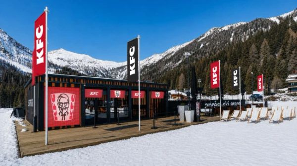
KFC Is Coming to the Slopes at Cortina and Madonna di Campiglio
Fried chicken is heading up the Dolomites. From 5 December KFC will run two restaurants on the slopes - one at 2,123 metres at Cortina, one at 1,700 metres at Madonna di Campiglio - and the polenta-and-canederli crowd has opinions. Local politicians, conservation groups and plenty of Facebook commenters are calling it a step too far, while others just want a cheaper lunch. Here’s what’s on the menu and what’s the fuss.
5 Nov 2026
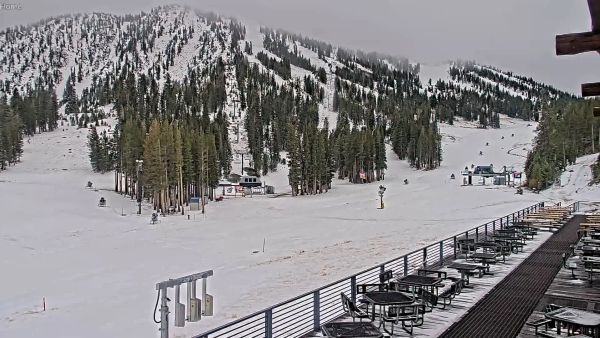
Mt Rose Aims to Open First in Tahoe on November 6
Mt Rose is going for the first-in-Tahoe title, with the Lakeview Express due to spin at 9 a.m. on Friday, November 6. One main lift, three runs and plenty of snowmaking, sitting on the highest base elevation in the region at 8,260 ft. Here is what is open, what is not (sorry, tubing fans), and how the early North American openings are stacking up.
4 Nov 2026
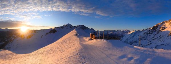
Europe Snow Forecast: Serre Chevalier Leads With 82 cm Over the Next 10 Days
Europe has had a quiet start to November, but our 10-day forecast has Serre Chevalier on 82 cm and Les 2 Alpes on 71 cm. Two pushes are lined up: a western Alps top-up from Friday, then a bigger, wider system on Thursday, November 12 and Friday, November 13 that reaches Italy and Switzerland. Full leaderboard inside.
4 Nov 2026
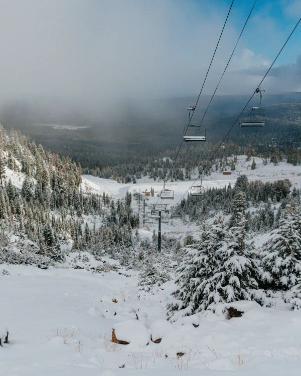
Mammoth Mountain Opens Early on November 5 With Up to 33 Inches of Snow in the Forecast
Mammoth just moved opening day forward to Thursday, November 5, eight days ahead of schedule. A snowy weekend and cold snowmaking nights did the work, and our forecast shows up to 33 inches more landing on November 13 and 14. Here is what opens, what the weather looks like and where Mammoth sits among the early Ikon Pass openers.
3 Nov 2026
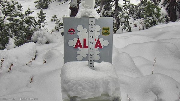
Utah Snow Storm Builds Early-Season Base Ahead of November Openings
Rain down low, snow up high, and a snow report full of zeros that mostly means ‘not updated yet’. Utah’s first proper storm of 2026-27 is rolling through the Wasatch, Snowbird’s snow stake is closing in on 10 inches, and Brian Head is five days from opening day. Early November snow rarely looks like much, but it is the layer every November opening date is built on. Here is where it stands.
1 Nov 2026
Craigieburn Lift System
The field operates 3 rope tows exclusively, with no chairlifts or gondolas in the infrastructure. The first rope tow was installed in 1949, establishing 75 years of continuous tow operation. Total uphill capacity reaches 1,200 persons per hour across the tow network. A failed T-bar installation in 1954 saw components airdropped by RNZAF Bristol Freighter, but engineering problems ended service after one season.
The three high-capacity nutcracker rope tows cover 500 metres of vertical rise up steep pitches across the two basin system. Complimentary nutcrackers or towbelts are provided with lift ticket purchase against a NZ$20 deposit or driving licence. A practice rope at the ticket office teaches first-time users proper tow technique before loading. Staff and club members assist boarders and skiers unfamiliar with rope tow systems, particularly goofy-stance riders who find the setup more challenging.
The bottom tow accesses lower terrain and connects to the middle tow, which climbs towards Kea Ridge and the day lodge. The top tow reaches 1,811 metres and provides access to Hamilton Peak, Hamilton Col and the traverse into Allan's Basin. From the top tow, skiers can traverse to Middle Basin or hike to North Middle Basin and North Peak within 20 minutes. The tow system delivers uncrowded access and minimal queuing due to the technical demands of rope tows.
No upgrades to chairlifts are planned, as the rope tow system aligns with the club's non-profit mission and volunteer-run ethos. The basic lift infrastructure limits crowds to committed skiers and boarders, preserving powder stashes days after storms. Club members built and maintain the entire tow network through volunteer work parties. Fast tow speeds offset the primitive system, and the access model filters visitors to those seeking backcountry-style terrain without resort-style amenities.
Craigieburn lift system
Craigieburn is served by 3 lifts, listed here by type. Check which lifts are turning against the live conditions before you plan your first laps - early lifts and high-speed chairs get you to the best snow fastest.
More Craigieburn intelligence: trail map, snow report, webcams, resort overview.