Craigieburn
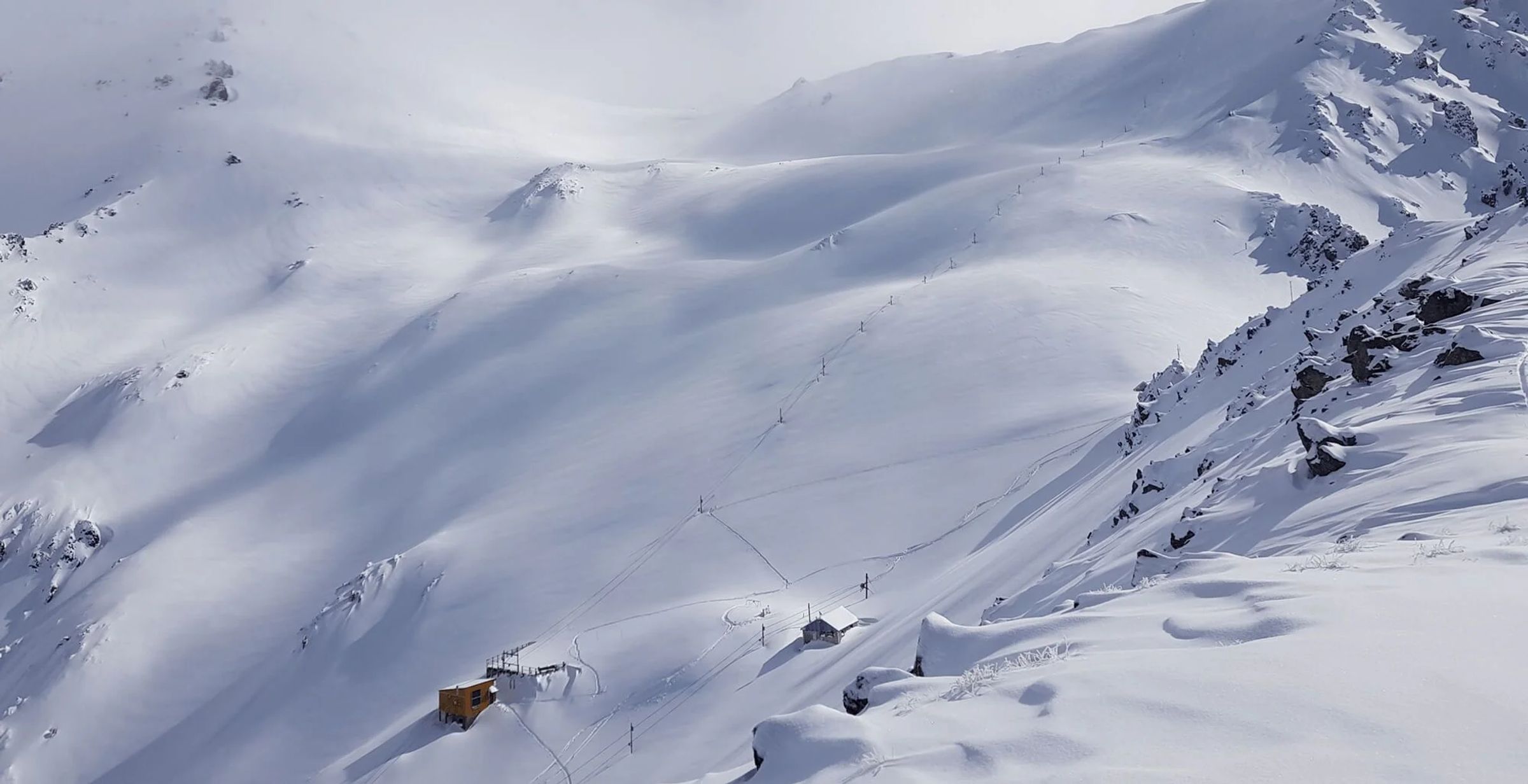
Craigieburn: 503m vertical, 3 rope tows, ungroomed terrain. 90 minutes from Christchurch in New Zealand's Southern Alps.
Season 2026
Opens
8 Aug 2026
Closes
27 Sept 2026
Days open
50
Annual snow
3m
The Overview
Michael Fulton
Melbourne-based skier and snowboarder with 50+ resorts across 5 continents. Specialises in Australian resorts and international resort comparisons.
Craigieburn Valley operates between 1,308 and 1,811 metres across 400 hectares of ungroomed terrain in New Zealand's Southern Alps. The club field features 25 runs with 503 metres of vertical drop, split 55 per cent intermediate, 25 per cent advanced and 20 per cent expert. The field averages 3 metres of annual snowfall and draws accumulation from both easterly and westerly storm systems that cross the main divide. No beginner terrain exists, and the club recommends first-time visitors can confidently ski blue chairlift runs elsewhere.
Three rope tows service two distinct basins spanning separate ridgelines, with Hamilton Face and Allan's Basin providing the main descents. Middle Basin drops 600 metres to the access road through untracked powder when conditions align, often compared to heliskiing. Plake's Mistake run honours professional skier Glen Plake, who joined the club. All terrain remains ungroomed except by weather, and nutcracker rope tows require basic technique that staff demonstrate at the ticket office.
Two lodges sit below treeline in beech forest - Koroheke with 6-bed dorms and Matuhi with private rooms, together sleeping 65 guests. The Kea Ridge Day Lodge near the summit serves hot food and coffee with 360-degree views across the field. The Thirsty Kea Bar in Koroheke Lodge opens after 3pm for club members and day visitors. No ski rental exists on mountain, and visitors must bring chains for the 6-kilometre access road that winds through native beech forest.
The field operates under a shared pass system with adjacent Broken River, accessible via a 15-minute hike over Hamilton Col. The 2026 season runs 8 August through 27 September. Established in 1954, Craigieburn functions as a non-profit club run by volunteers who maintain all infrastructure. Member day passes cost NZ$50 to $70, whilst non-members pay NZ$90 to $110, and the Chill Pass provides weekend access across 11 Canterbury club fields.
503m
Vertical
25
Runs
988 acres
Skiable
3m
Annual snow
The Terrain
25 runs across 988 acres skiable
Craigieburn spreads 25 runs across 988 acres skiable of terrain. It leans intermediate at 55%, with 11 advanced or expert runs when you want to push.
Terrain split
25
runs
25 runs across 4 grades
Beginner0 runs · 0%
Intermediate14 runs · 55%
Advanced6 runs · 25%
Expert5 runs · 20%
Time it right
When to visit Craigieburn
The 2026 season opens 8 August and closes 27 September, spanning approximately 7 weeks depending on snow coverage. Typical operating dates fall mid-July through late September, though club fields rely entirely on natural snowfall without snowmaking. The 1949 rope tow installation marks over seven decades of seasonal operation. Early and late season dates shift annually based on snowpack depth and weather patterns, with club members monitoring conditions before committing to road and facility access.
Craigieburn receives an average 3 metres of annual snowfall, with elevations between 1,308 and 1,811 metres capturing storms from multiple directions. Easterly and westerly systems both deliver accumulation, with westerlies crossing the main divide from the Tasman Sea. September typically offers peak coverage with average depths of 111 centimetres at the summit and 77 centimetres at the base. August delivers the most sunshine, averaging 15 clear days. The field features 31 sunny days per season on average, ranking amongst the 10 sunniest club fields in New Zealand.
Mid-winter months of July and August offer the coldest, driest powder, whilst September conditions soften with spring sun and longer daylight. Weekend crowds increase during school holidays, though rope tow access naturally limits visitor numbers compared to chairlift-serviced commercial fields. Fresh snow lingers on shaded slopes for days after storms due to minimal skier traffic. Late-season riding through September remains viable when natural snow persists, with corn snow developing on sun-exposed aspects.
The club hosts ski weeks and multi-day packages throughout winter, with accommodation including meals and instruction. No specific night skiing operates. Events vary annually, with club work parties in March and April preparing infrastructure before winter. Visitors should confirm operating days via the snow report, as the field only opens when coverage and access road conditions permit safe skiing.
Season 2026
8 Aug 2026
Opens
27 Sept 2026
Closes
50
Days open
3 m
Annual snow
Getting there
Getting to Craigieburn, and where to stay
Craigieburn sits on the northwestern end of the Craigieburn Range within Craigieburn Forest Park, 104 kilometres west of Christchurch in Canterbury. The field straddles two ridgelines at the headwaters of Craigieburn Valley, with the base lodges at 1,308 metres surrounded by mountain beech forest. State Highway 73 provides the access corridor between Christchurch and Arthur's Pass, with the field turnoff located 9 kilometres past Castle Hill Village. Hamilton Peak at 1,923 metres anchors the upper ridgeline, whilst Broken River field sits immediately adjacent across Hamilton Col.
Springfield township lies 33 kilometres east as the final fuel stop before Arthur's Pass, with basic accommodation options and services for Canterbury club field visitors. Castle Hill Village sits 100 kilometres from Christchurch at the base of Porters Pass, established in 1982 as an alpine settlement popular with winter sports visitors. The limestone boulder fields of Kura Tāwhiti Conservation Area border the access route. Arthur's Pass village lies 80 kilometres further west on Highway 73, offering alternative accommodation and the starting point for West Coast access.
The drive from Christchurch follows State Highway 73 northwest through the Canterbury Plains, climbing over Porters Pass at 945 metres before descending into the Craigieburn basin. Journey time averages 90 minutes covering 110 kilometres on sealed highway, with the final turnoff signposted Craigieburn Valley Ski Area. The 6-kilometre access road from Highway 73 winds through beech forest and requires 4WD or chains when snow or ice is present. Do not turn early at Broken River or continue past to Flock Hill Station.
Christchurch International Airport sits 110 kilometres east, serving as the primary gateway with direct flights from Australian cities and domestic connections. No public transport serves the field directly - visitors require private vehicles or pre-arranged shuttles. The TranzAlpine scenic train between Christchurch and Greymouth stops at Springfield and follows the Waimakariri River corridor through Arthur's Pass, though the service doesn't provide field access. Rental vehicles from Christchurch Airport offer the most practical transport option, with chains mandatory for winter mountain driving.
Where to stay
Search all stays →Hotels and lodges near Craigieburn, powered by Stay22.
Latest News
From the SnowStash desk
Colorado Ski Resort Opening Dates 2026-27: A-Basin and Keystone Race to Be First
Arapahoe Basin, Keystone and Winter Park are all chasing an October start, though none has a firm date yet. The first dated openers are Breckenridge and Copper on Friday 6 November, then Vail on 13 November, with most of the rest bunched around US Thanksgiving. Hesperus did not open at all last season. A super El Niño offers hope but no guarantee, and forecasters say the southern mountains have the better odds.
5 Oct 2026
Dolomiti Superski 2026-27: Four New Gondolas, New Reservoirs and an €89 Peak Day Pass
Dolomiti Superski is spending around €100 million across its 12 areas before winter. Kronplatz gets a new 10-passenger gondola with a middle station, 3 Zinnen gets Helmissimo, and Val di Fassa swaps a chairlift for a gondola above Col Valvacin. New water-storage basins and upgraded snowmaking follow, and construction has started on the San Martino to Passo Rolle link. A peak adult day pass is €89.
4 Oct 2026
Utah Ski Resort Opening Dates 2026-27: Brian Head First, Eagle Point Out
Brian Head is targeting 6 November, though last year it aimed for 7 November and did not open until the 25th. Park City, Alta and Solitude are pencilled in for 20 November, Snowbird and Snowbasin for 27 November, and Deer Valley for 5 December. Eagle Point will stay closed after the Cottonwood Fire. A super El Niño is forecast, but the big snow is not expected until January.
4 Oct 2026
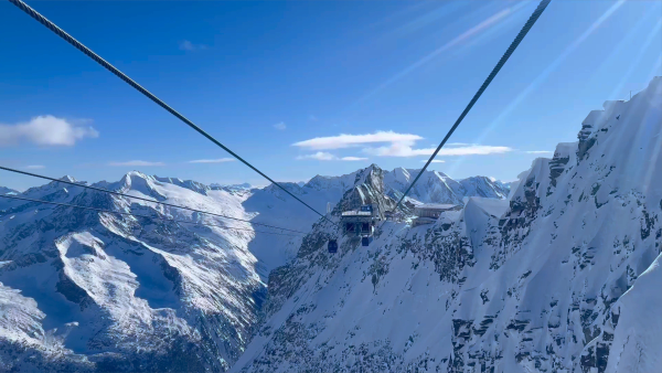
Hintertux Glacier Opens for 2026-27 With 12 Kilometres of Piste
Hintertux became Austria's second glacier to open for 2026-27 on Friday 2 October, after the Pitztal Glacier. Twelve kilometres of piste are running around the Olperer and Gefrorene Wand, served by one gondola and two drag lifts, with the Betterpark also open. Lifts officially run 8:15 am to 4:30 pm, but skiing stops at 2 pm for now.
4 Oct 2026
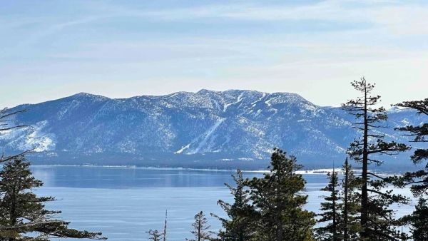
Vail Resorts Counts the Cost of a Thin Winter as Pass Sales Slide Further
A historically poor western winter cut Vail Resorts' annual net income from $280 million to $147.5 million and skier visits by 13.4 per cent. Now 2026-27 pass units are down 12 per cent as of 18 September, worse than the 10 per cent flagged in spring. Vail blames the weather and thinks some buyers are simply waiting, and it forecasts a rebound if the snow behaves.
3 Oct 2026
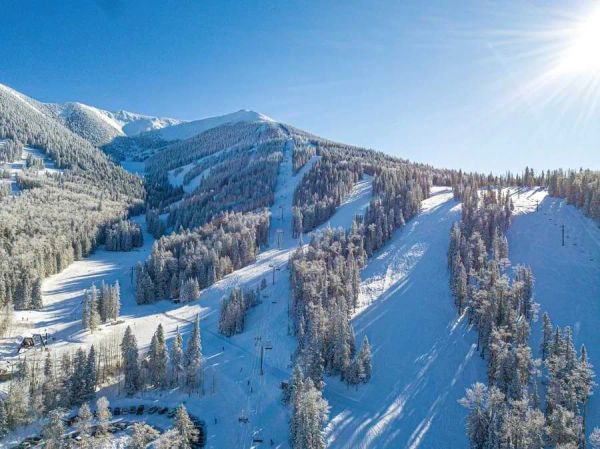
Arizona Snowbowl's $1 Lift Tickets Are Hard to Find, but $9 Days Are Not
Arizona Snowbowl advertised eight $1 lift ticket days this winter. Go looking and only three are showing - 10 March, 1 April and 10 April - so the rest may already have gone. The consolation is a calendar full of $9 days, including all but one day in April. Opening day is 20 November, weather permitting, and opening weekend is $19.
2 Oct 2026
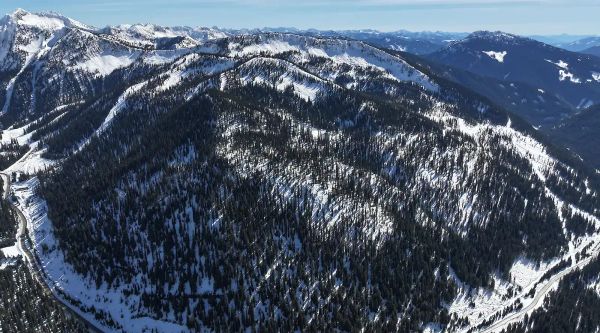
Whitewater Brings Its Short Side Inbounds, With Six New Runs for 2026-27
For years, Whitewater's Short Side was where you ducked a rope and hoped for the best: unmapped, ungroomed and unpatrolled. This winter it's inbounds. Six new runs of glades and fall-line skiing add 190 acres (about 77 hectares), taking the resort past 1,400 acres in total. F2 Logging spent a month in the trees to make it happen, and opening day is pencilled in for 4 December. Bonanza now needs less snow to groom, too.
1 Oct 2026
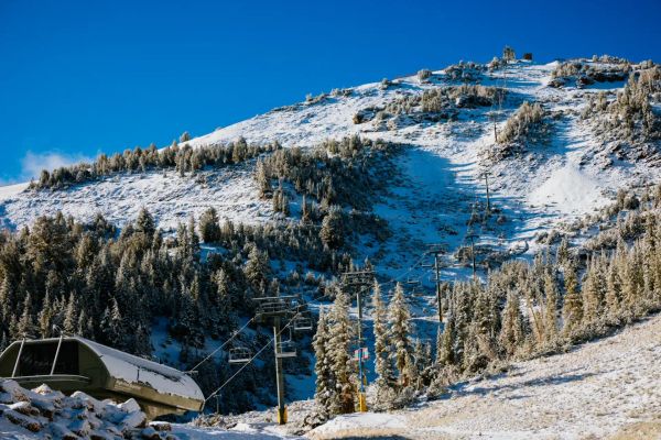
September Dusting Hits Mammoth Mountain Six Weeks Before Opening Day
Mammoth got its first snow of 2026-27 on Monday 28 September - and promptly lost it by Tuesday morning. Barely an inch fell at McCoy Station, but with opening day pencilled in for Friday 13 November, it's the first sign the Sierra is waking up. Last year's date slipped from 14 November to 20 November, so nobody's booking flights on a dusting just yet. Here's where California's early openers stand.
1 Oct 2026