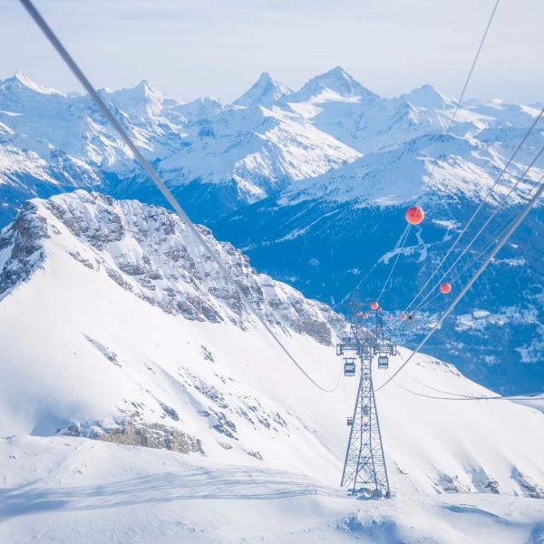
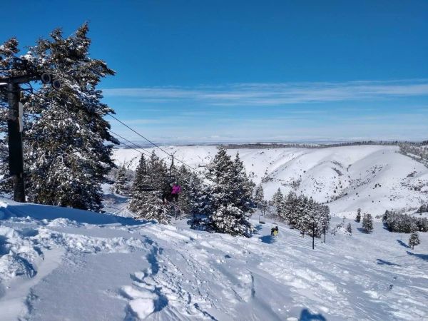
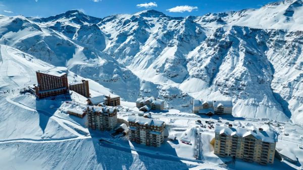
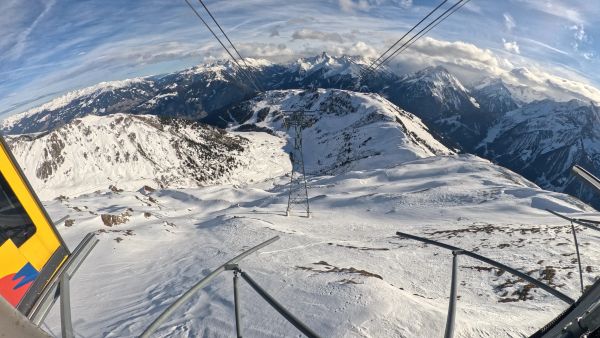
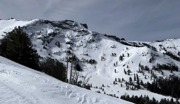
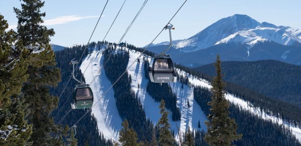
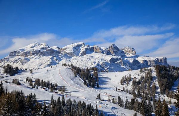
Well this last storm delivered. As much as we DIDN'T want to see it, due to the snow stability reasons we mentioned in our last post, there was significant accumulations from California to Utah. It sure looks pretty. This was from yesterday in the Cottonwoods, courtesy of our forecaster Luke (@lstone84 on Instagram).
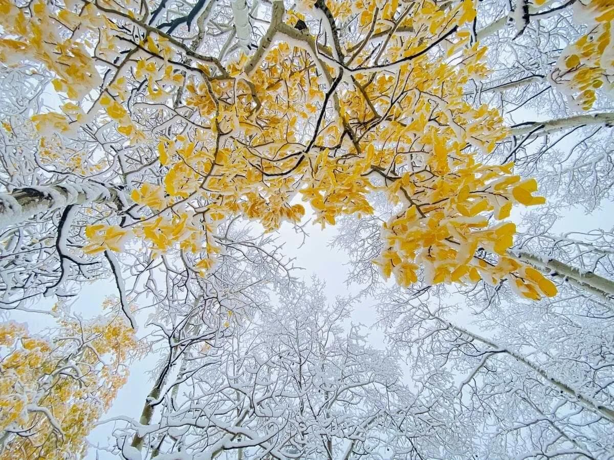
With nearly 10" in the Cottonwoods, 10-12" in the high Sierra, and considerable accumulations in other areas, it's going to be a challenge to melt this amount, especially on shaded northerly slopes. On top of that another, much more significant, storm is going to impact an even larger area early this week. This will make it virtually impossible to melt all the snow in the areas seeing the deepest totals. Montana and Wyoming will see the most snow, with Idaho, Utah, and SW Colorado receiving big totals as well. Make sure to head over to Tire Rack to get your winter tires for the upcoming season. With all the incoming snow, we put ours on yesterday. Blizzaks always.SUMMARYA strong and very cold Pacific storm will impact most of the Western US, with perhaps only limited accumulations in California, Arizona, and New Mexico. Northern Wyoming and southwest Montana will see up to THREE FEET, Utah and British Columbia, coming in with 10 to 18 inches, and a solid 8-12 inches in the mountains of Washington and Idaho, and finally a little less in Colorado. Things should get going today and last through Wednesday, with another small burst from an additional wave on Thursday. For this post, we'll quickly do a state by state breakdown of amounts and timing below. BC/ALBERTABoth the coastal mountains as well as interior British Columbia will get some more snow from this next round of storms. Starting today, snow will develop and then move inland. The second pulse will bring additional snow Wednesday into Thursday. The total from both these events will be in the 6-15" range, with the higher totals in the coastal mountains and northern interior BC. Interior SE BC and western Alberta will likely be on the lower end of these totals. Whistler should be on the top of the list with the Banff resorts and interior BC (Revelstoke, Kicking Horse, etc) seeing less. WASHINGTONSimilar totals will fall in the Cascades, and the timing will be pretty similar as well. First wave starting today, second wave starting Wednesday. By Thursday, 8-12" should pile up in the central and northern Cascades. We could see some higher totals on the volcanos. Baker and Stevens will likely be the winners in Washington, though with less totals than the highest peaks in the region. OREGONOverall, the heaviest snow will stay north of Oregon, but with the cold temperatures associated with these storms, there will still be accumulations in the mountains. A little later to start, and not quite as heavy, the two waves will occur on Monday and Wednesday into Thursday. Looks like 3-6" by the end of things in the Cascades of Oregon and on the volcanos. Hood and Bachelor will probably be the deepest in Oregon, but will likely only see a few inches.IDAHONow we can start upping the snow totals. As you would expect, the timing will be a little bit later than the snow in the pacific northwest. The first, and more substantial wave, will run from Sunday to Tuesday, with the heaviest snow in the central and eastern part of the state. The ski resorts in Idaho won't really get all that much snow, but the higher peaks will be deep. Lost Trail and Sun Valley should get a few inches, but the highest peaks in the central/eastern part of the state will see 8-16". UTAHUtah has already seen significant snow the past few days, with 10-14" falling in the upper Cottonwoods. We were up there today checking out the new snow and the remaining foliage, as seen in the picture above. This next storm will pack a pretty serious punch, and fairly low snow levels. The overall track/setup isn't quite right for a block buster, but there will be lots of moisture and snow nevertheless. Timing for northern Utah will be Monday night to Wednesday, with 8-16" possible in the Cottonwoods. The usual suspects, Alta, Brighton, Snowbird, and Solitude should all do well, adding to their current totals. The forecast for Utah is a little tricky, as the storm will pass directly over the state. This results in a little bit of uncertainty regarding wind direction, which can significantly affect the snow totals. If the winds are from the NW for more of the storm, the totals could be even higher, approaching two feet in the upper Cottonwoods. The second wave on Thursday could add a few more inches to these totals. MONTANAWell now we're onto big winner #1, southwest Montana. There's no denying this will be an impressive storm for much of southern Montana, with low elevation accumulations likely. Resorts like Big Sky and Bridger Bowl will see significant snow. 12-18" seems like a good best for these resorts, with the summit of Big Sky seeing up to two feet. However, winds will be northern and northeast for much of this storm, and that is the magic spot for Red Lodge, who will likely see more snow than any other resort from this storm. Timing for this region will be Monday to Wednesday, with the heaviest falling on Monday/Tuesday. We would not be surprised if the summit got 3 feet by the end of the storm, but overall 16-30" should blanket the mountain. Maybe just maybe we'll earn some turns up there this week. The summit of Big Sky, being almost 2k feet higher than Red Lodge, could sneak up and win the snow totals with this storm, but the winds definitely favor Red Lodge. WYOMINGDon't sleep on Wyoming either. Although the ski resorts here won't threaten the huge totals of Montana, the Big Horn mountains will definitely be deep by the end of the storm. The highest elevations in that range, 12-13k, could also see up to three feet. The coldest air isn't going to make it as far east, so that may limit totals just a bit. That whole range will be dressed in white though, as they too benefit from the upcoming NE/E wind setup. The Tetons will see accumulating snow as well, with 8-12" likely for Jackson Hole and Grand Targhee.COLORADOLast but not least, Colorado. The southwestern and northwestern parts of the state will be favoured this week. The San Juans and Park Range will likely do best, with the front range and central mountains seeing less. Expect 8-12" for the San Juans and Park Range, with 3-6 elsewhere. This will be a Tuesday to Friday event, including both of the storms.Might as well throw in a snowfall map:
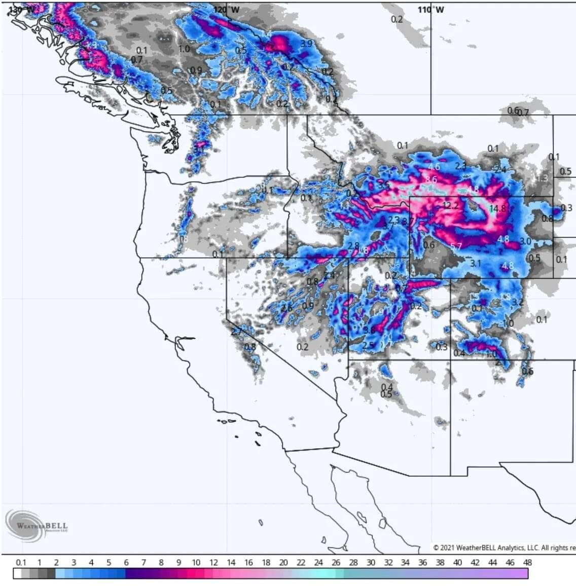
Image courtesy of Weatherbell Well, it's storms like this that make us wish we had a forecaster for every state. It's just one forecaster for this event though.Please support Powderchasers by either joining the powder concierge or making a donation for our powder forecasts. The Concierge gets you custom chase forecasts and travel tips. The donations are used to support our forecasts. Want to stay up to date with all the news we find interesting? Make sure you follow us on our socials where we post all the latest updates.
About the author

Michael Fulton
Melbourne-based skier and snowboarder with 50+ resorts across 5 continents. Specialises in Australian resorts and international resort comparisons.