
The Overview
Michael Fulton
Melbourne-based skier and snowboarder with 50+ resorts across 5 continents. Specialises in Australian resorts and international resort comparisons.
Sun Valley's summit reaches 9,150 feet, dropping 3,399 vertical feet to a base at 5,751 feet across 121 runs spread over 2,054 acres near Ketchum, Idaho. Terrain splits 42 per cent intermediate, 36 per cent beginner, 20 per cent advanced and 2 per cent expert, with average annual snowfall of roughly 220 inches. The resort carries Ikon Pass access across its Bald Mountain and Dollar Mountain terrain. Nineteen lifts, including nine quad chairs, one six-person chair, three triple chairs and a gondola, serve the two mountains alongside two double chairs and three surface lifts.
Sun Valley holds a unique place in ski history as North America's first purpose-built destination ski resort, a status reflected in its world-class grooming and consistently low lift-line waits despite its fame. Bald Mountain carries the resort's main advanced and intermediate terrain, while the gentler Dollar Mountain serves beginners and families. The resort's Hollywood-era glamour heritage remains part of its identity alongside its modern Ikon Pass destination status.
In 1935, Union Pacific Railroad chairman Averell Harriman set out to build North America's first destination ski resort, sending Austrian ski instructor Count Felix Schaffgotsch to scout locations across the American West. Schaffgotsch chose Ketchum, a mining town surrounded by mountains, and construction began in May 1936 on the 3,200-acre former Brass Ranch. Sun Valley Lodge opened in December 1936, followed by the Swiss-style Sun Valley Inn in 1937 and The Ram restaurant in 1938.
That same 1936 season, Sun Valley became the birthplace of the modern ski lift: a railroad engineer who had built a system for loading banana bales onto cargo ships adapted the concept into the world's first chairlift, installed on Dollar Mountain. Publicist Steve Hannagan coined the resort's name and tagline, 'Winter sports under a summer sun,' and orchestrated the celebrity visits that made Sun Valley famous, with Ernest Hemingway becoming its most notable long-term resident. Adult daily tickets run from 89 to 149 US dollars, with season passes from 975 dollars for Dollar Mountain-only access.
3,399ft
Vertical
121
Runs
2,054 acres
Skiable
18ft
Annual snow
Ikon
Pass
The Terrain
121 runs across 2,054 acres skiable
Sun Valley is built around two mountains, Bald Mountain and Dollar Mountain, and offers 121 runs across 2,054 acres (831 hectares) above Ketchum. Bald Mountain tops out at 9,150 feet (2,789 m) over a base of 5,750 feet (1,753 m), a vertical of about 3,400 feet (1,036 m), and that is among the biggest drops in the Rockies. Intermediates hold 42% of the terrain, beginners 36%, advanced skiers 20% and experts only 2%. A gondola, a six-pack, nine quads and several other lifts move people fast, so the fall-line runs are rarely queue-bound.
Baldy's skiing is about long, consistent pitches. Warm Springs is the signature, running top to bottom for the full vertical and taking afternoon sun, while Seattle Ridge and Greyhawk offer smooth groomed cruising. Limelight and the Christmas Bowl area deliver steeper, bumpier skiing for stronger skiers, and Ridge Run is a favourite for fast carving. Dollar Mountain handles beginners and freestyle riders with gentler slopes and parks. Sun Valley suits intermediates and confident advanced skiers who prize groomed runs and speed over extreme terrain, plus beginner families with a separate learning mountain.
Terrain split
121
runs
121 runs across 4 grades
Beginner44 runs · 36%
Intermediate51 runs · 42%
Advanced24 runs · 20%
Expert2 runs · 2%
Time it right
When to visit Sun Valley
The 2025-26 season at Sun Valley ran from 25 November 2025 to 19 April 2026, a roughly twenty-one-week season supported by average annual snowfall of around 220 inches. While this snowfall total is moderate compared with some Pacific Northwest resorts, Sun Valley's extensive snowmaking and grooming operations have long been central to its reputation for consistently excellent surface conditions. Season dates can shift slightly year to year.
Midwinter, from December through February, typically offers the most reliable natural snowpack across Bald Mountain's advanced terrain. As an Ikon Pass destination with a nearly ninety-year history, Sun Valley draws visitors from across the country, with holiday periods bringing the heaviest crowds despite the resort's reputation for well-managed lift lines. Weekday visits generally remain calmer.
Sun Valley's identity as North America's first destination ski resort continues to shape its seasonal programming, with a heritage of celebrity visits and Hollywood-era glamour still part of the resort's marketing and atmosphere. Dollar Mountain's dedicated beginner terrain supports significant ski school and family programming throughout the season. School holiday periods bring particularly strong demand for these family-oriented offerings.
Specific event programming beyond standard lift operations and ski school is not confirmed in available resort information. The resort's long-running association with author Ernest Hemingway, who lived in the area for two decades, remains part of the broader Sun Valley and Ketchum cultural identity through the winter season. Grooming quality across Bald Mountain remains a defining feature cited consistently by visitors.
Season 2026 - 2027
2 Dec 2026
Opens
11 Apr 2027
Closes
130
Days open
18 ft
Annual snow
Getting there
Getting to Sun Valley, and where to stay
Sun Valley sits adjacent to Ketchum, Idaho, with a base elevation of 5,751 feet and a summit at 9,150 feet across a 3,399-foot vertical drop over 2,054 acres split between Bald Mountain and Dollar Mountain. The resort and Ketchum together form one of the most established mountain communities in the American West, built specifically around the ski resort since the 1930s.
Ketchum itself offers extensive lodging, dining and shopping befitting Sun Valley's decades-long status as a destination resort, with a level of infrastructure that has grown alongside the mountain since 1936. The broader Wood River Valley combines skiing with a resort-town culture that has attracted visitors, celebrities and long-term residents throughout the resort's history. Ketchum's compact, walkable centre sits within easy reach of the mountain itself.
Idaho State Highway 75 connects Ketchum and Sun Valley to the wider region, running north from the interstate network through the Wood River Valley. Winter driving conditions on the approach can include snow and ice, though the route is well maintained given the resort's status as a major destination. Local shuttle services within Ketchum and Sun Valley reduce the need for a vehicle once visitors arrive.
Friedman Memorial Airport in nearby Hailey, nearly the closest airport to any major US ski resort, offers direct flights from several major cities and sits a short drive from the resort itself. This convenient air access has long supported Sun Valley's role as a fly-in destination for visitors from across the country, reinforcing its identity as America's original purpose-built ski resort.
Where to stay
Search all stays →Hotels and lodges near Sun Valley, powered by Stay22.
Latest News
From the SnowStash desk

Utah Ski Resorts 2026-27: What’s New at Alta, Deer Valley, Powder Mountain and More
Utah is still building flat out. For 2026-27, Powder Mountain opens a steep new Skytrac chair into more than 1,000 acres of advanced terrain, Deer Valley adds 200 acres on Hail Peak, Sundance gets a new quad and Park City adds a gondola from its new parking structure. Snowmaking is expanding almost everywhere, Eagle Point stays closed after the Cottonwood Fire, and the 2034 Games are setting the pace. Here’s what’s new, resort by resort.
13 Oct 2026

Vermont Ski Resort Opening Dates 2026-27: Few Dates Set, Killington Waits on the Cold
Vermont's season is slow to take shape. Stratton is tentatively targeting 18 November and Sugarbush 21 November, while Pico has Friday 11 December on the calendar. Killington never sets a date and opens when the snowmaking allows, and Vail Resorts has yet to name days for Stowe, Okemo and Mount Snow. The forecasts disagree about snow, and the main El Niño worry for the Green Mountains is warmth.
9 Oct 2026
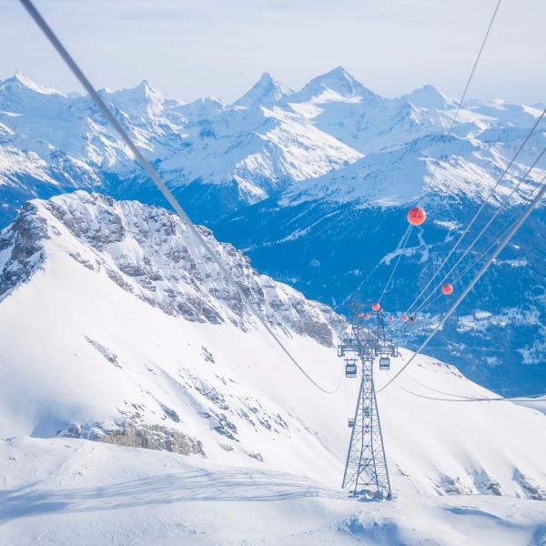
Crans-Montana 2027 World Championships President Resigns Ahead of Fraud Hearing
Less than four months out from the Crans-Montana 2027 World Championships, the man running the organising committee has stepped down. Claude-Alain Schmidhalter resigned as Swiss-Ski vice president and OC president after being indicted over a business dispute unrelated to skiing. He denies the allegations and faces court on October 27. Interim leaders are in place for the February 1-14 event.
9 Oct 2026
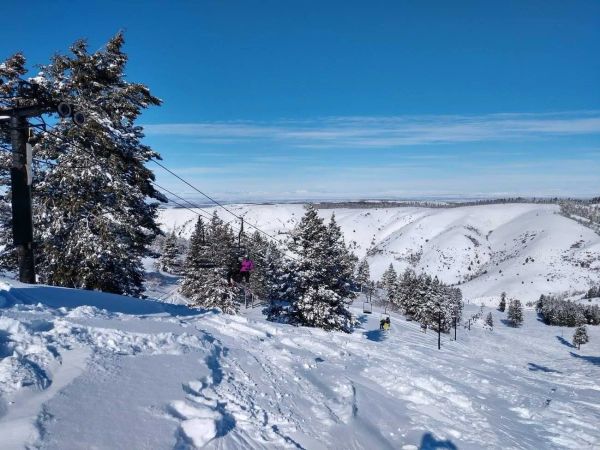
Kelly Canyon, Idaho, Adds Snowmaking, a Bigger Terrain Park and More Parking for 2026-27
Kelly Canyon had a rough 2025-26, and the Idaho resort has spent the summer making sure it doesn’t repeat. Snowmaking now reaches the top of Goldrush, the terrain park is doubling in size with a stereo system, lights and a snack shack, and the car park is getting bigger. Grooming is stepping up too. Target opening is December 4, conditions permitting.
9 Oct 2026
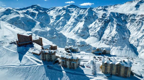
Valle Nevado Extends Season to November 8 After 108 cm in 48 Hours
Winter was meant to be winding down in Chile. Then Valle Nevado took 108 cm in 48 hours in early October, and the resort has pushed its closing date out to November 8 - its latest in 38 years of operation. That makes 143 days of skiing since opening day on June 19, with 690 cm banked for the season. Only part of the mountain is running while the storm settles, so check the mountain report before you plan a trip.
9 Oct 2026
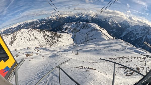
Alps Snow Forecast: Cold Front Brings Thursday Snow to the High Alps
The Alps look a lot more like winter today, for a day or so. A cold front is moving west to east, dropping up to 35 cm on high glaciers and peaks, with snow levels falling to around 1,500-1,800 m at times. Don’t plan a trip around it: mid-elevation snow will be thin and wet, every area is closed bar a limited Sölden glacier opening tomorrow, and warmer weather returns by Monday.
8 Oct 2026
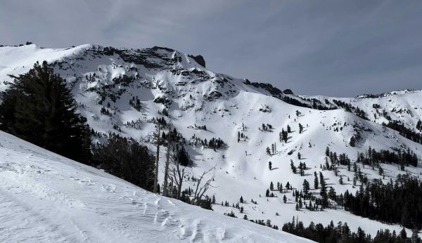
California Ski Resort Opening Dates 2026-27: Mammoth Leads, Tahoe Follows
Mammoth Mountain is first up in California, targeting Friday 13 November after a dusting of September snow. Heavenly and Northstar follow on 20 November, Palisades Tahoe on Wednesday 25 November and Sugar Bowl on 27 November, with Kirkwood on 4 December and June Mountain on 19 December. Plenty of smaller areas have no date yet. A super El Niño favours the Sierra, but a warmer storm track is the catch.
7 Oct 2026
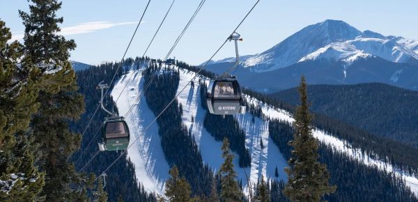
Colorado Ski Resort Opening Dates 2026-27: A-Basin and Keystone Race to Be First
Arapahoe Basin, Keystone and Winter Park are all chasing an October start, though none has a firm date yet. The first dated openers are Breckenridge and Copper on Friday 6 November, then Vail on 13 November, with most of the rest bunched around US Thanksgiving. Hesperus did not open at all last season. A super El Niño offers hope but no guarantee, and forecasters say the southern mountains have the better odds.
5 Oct 2026
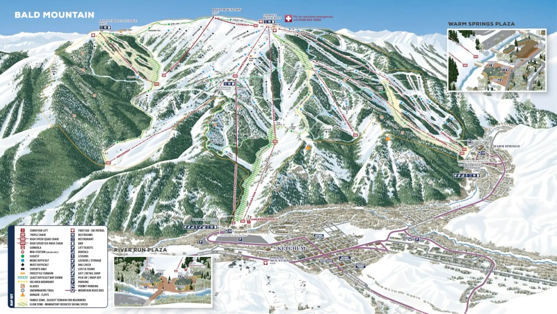
Sun Valley Trail Map
Downloadable Sun Valley trail map
Terrain split
121
runs
Beginner36%
Intermediate42%
Advanced20%
Expert2%
2,054 acres skiable831 hectares
Resort Stats
Elevation
Base5,751ft
Summit9,150ft
Annual snowfall
18ft
Season
2026 - 2027
2 Dec 2026 - 11 Apr 2027
Trail coverage
121 runs
2,054 acres (831 ha)
About Sun Valley's trail map
Explore Sun Valley's full trail map with 121 runs across the mountain, colour-coded by difficulty and shown alongside the terrain split. Use it to plan a day that matches your ability, find lift-served pockets of your favourite grade, and see how the resort links together. Download the piste map (PDF) ↗
More Sun Valley intelligence: snow report, lift system, webcams, resort overview.