
The Overview
Michael Fulton
Melbourne-based skier and snowboarder with 50+ resorts across 5 continents. Specialises in Australian resorts and international resort comparisons.
Stratton Mountain's summit reaches 3,875 feet, dropping roughly 2,001 vertical feet to a base at 1,874 feet across 99 runs spread over 670 acres near Stratton, Vermont, southern Vermont's highest peak. Terrain splits 41 per cent beginner, 31 per cent intermediate, 17 per cent advanced and 11 per cent expert, with average annual snowfall of roughly 176 inches. The resort carries Ikon Pass affiliation. Thirteen lifts, including three quad chairs and four six-person chairs, serve the mountain alongside one double chair, one triple chair, one gondola and three surface lifts.
Stratton Mountain holds the distinction of being southern Vermont's highest peak, and its considerable investment in high-speed, high-capacity lift infrastructure has made it one of the region's most efficiently served resorts. The mountain's luxury slopeside village gives Stratton a genuinely upscale character among Vermont's ski destinations.
The Stratton Corporation established the resort in December 1961 with three double chairlifts and a three-storey base lodge, part of a broader mid-century push for alpine skiing development across the Green Mountains. The access road was paved in 1962 ahead of the second season, and two T-bar lifts were added in 1963 for the third. A significant expansion for the 1964-65 season opened the Snow Bowl area, adding a double chairlift and more than 30 acres of new terrain.
Intrawest purchased Stratton from Victoria USA, Inc. in 1994, quickly rolling out four new high-speed six-person chairlifts and establishing the resort as a genuine four-season destination that drew respect across the industry for the scale of its reinvestment. In 2017, KSL Capital Partners and Henry Crown and Company acquired Intrawest, combining Stratton with Squaw Valley, Alpine Meadows and other mountains to form Alterra Mountain Company, launched in January 2018. Adult daily tickets run from 139 to 189 US dollars.
2,001ft
Vertical
99
Runs
670 acres
Skiable
15ft
Annual snow
Ikon
Pass
The Terrain
99 runs across 670 acres skiable
Stratton has 99 runs over 670 acres (271 hectares) near Stratton, Vermont, climbing from a base at 1,870 ft (571 m) to a summit of 3,870 ft (1,181 m), a vertical of 2,000 ft (610 m). It is unusually beginner friendly, with 41% green circle, 31% blue square, 17% black diamond and 11% expert. About 176 inches of snow falls in an average winter. A gondola, four six-packs, three quads, a triple, a double and three surface lifts move people quickly, with high-speed chairs doing most of the work.
Upper Tamarack has sweeping bends, while Frank's Fall Line and Upper Standard drop straight down the hill, and Upper Standard and Black Bear hold a steady pitch. Lower Tamarack and East Meadow are gentle options for learners. The Snow Bowl is the favourite for more technical skiing with fewer people, and glades can be found off Kidderbrook. Five terrain parks include the Progression Park near the base, plus East Byrneside Park and Suntanner Park. Stratton suits families, progressing skiers and park riders, with enough black terrain to keep stronger skiers busy for a few days.
Terrain split
99
runs
99 runs across 4 grades
Beginner41 runs · 41%
Intermediate31 runs · 31%
Advanced17 runs · 17%
Expert11 runs · 11%
Time it right
When to visit Stratton
The 2025-26 season at Stratton Mountain ran from 28 November 2025 to 12 April 2026, a roughly nineteen-week season supported by average annual snowfall of around 176 inches. Season dates can shift depending on early and late-season weather on southern Vermont's highest peak.
Midwinter, from December through February, typically brings the most consistent conditions to Stratton's beginner-and-intermediate-weighted terrain. As an Ikon Pass resort within the Alterra Mountain Company network, Stratton draws substantial visitation from Ikon Pass holders alongside its traditional southern New England weekend visitor base.
Stratton's luxury slopeside village and four-season resort amenities continue to support strong visitation beyond typical ski-day traffic, a legacy of Intrawest's substantial reinvestment during its ownership tenure. School holiday periods bring substantial family visitation given the resort's varied terrain and considerable village-based amenities. Weekend crowds draw heavily from the greater Boston and New York metropolitan areas.
Specific event programming beyond standard operations is not confirmed in available resort information. Since Alterra Mountain Company's January 2018 formation, Stratton has continued operating as part of the Ikon Pass network, building on more than six decades of history since the Stratton Corporation's December 1961 founding. The resort's high-speed lift infrastructure and luxury village character remain central to its seasonal identity.
Season 2026 - 2027
18 Nov 2026
Opens
12 Apr 2027
Closes
145
Days open
15 ft
Annual snow
Getting there
Getting to Stratton, and where to stay
Stratton Mountain sits near Stratton, Vermont, with a base elevation of 1,874 feet and a summit at 3,875 feet across a roughly 2,001-foot vertical drop over 670 acres, southern Vermont's highest peak. This setting places the resort within a considerable drive of the greater Boston and New York metropolitan areas.
The resort's own luxury slopeside village provides substantial on-site lodging, dining and shopping, giving Stratton a genuinely self-contained destination-resort character. Manchester, a larger regional town, lies within a reasonable drive as well, offering additional visitor services.
Vermont State Route 30 provides access to the resort from the broader southern Vermont region. Winter driving conditions on this route can include snow and ice, though the well-travelled road is regularly maintained given Stratton's status as a major regional destination. There is no direct public transport service to the mountain.
Albany International Airport in New York and Bradley International Airport in Connecticut both serve the broader region within a reasonable drive, with Stratton's southern Vermont location making it a popular weekend option for visitors from across southern New England and the greater New York metropolitan area.
Where to stay
Search all stays →Hotels and lodges near Stratton, powered by Stay22.
Latest News
From the SnowStash desk
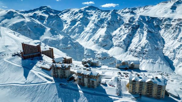
Valle Nevado Extends Season to November 8 After 108 cm in 48 Hours
Winter was meant to be winding down in Chile. Then Valle Nevado took 108 cm in 48 hours in early October, and the resort has pushed its closing date out to November 8 - its latest in 38 years of operation. That makes 143 days of skiing since opening day on June 19, with 690 cm banked for the season. Only part of the mountain is running while the storm settles, so check the mountain report before you plan a trip.
9 Oct 2026
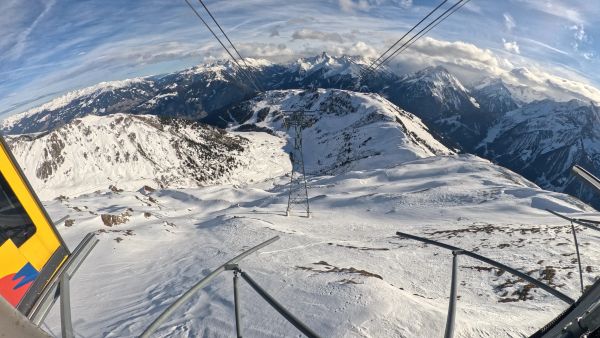
Alps Snow Forecast: Cold Front Brings Thursday Snow to the High Alps
The Alps look a lot more like winter today, for a day or so. A cold front is moving west to east, dropping up to 35 cm on high glaciers and peaks, with snow levels falling to around 1,500-1,800 m at times. Don’t plan a trip around it: mid-elevation snow will be thin and wet, every area is closed bar a limited Sölden glacier opening tomorrow, and warmer weather returns by Monday.
8 Oct 2026
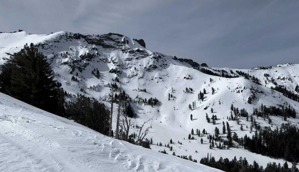
California Ski Resort Opening Dates 2026-27: Mammoth Leads, Tahoe Follows
Mammoth Mountain is first up in California, targeting Friday 13 November after a dusting of September snow. Heavenly and Northstar follow on 20 November, Palisades Tahoe on Wednesday 25 November and Sugar Bowl on 27 November, with Kirkwood on 4 December and June Mountain on 19 December. Plenty of smaller areas have no date yet. A super El Niño favours the Sierra, but a warmer storm track is the catch.
7 Oct 2026
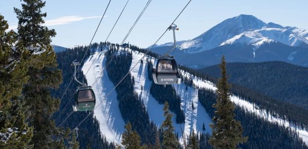
Colorado Ski Resort Opening Dates 2026-27: A-Basin and Keystone Race to Be First
Arapahoe Basin, Keystone and Winter Park are all chasing an October start, though none has a firm date yet. The first dated openers are Breckenridge and Copper on Friday 6 November, then Vail on 13 November, with most of the rest bunched around US Thanksgiving. Hesperus did not open at all last season. A super El Niño offers hope but no guarantee, and forecasters say the southern mountains have the better odds.
5 Oct 2026
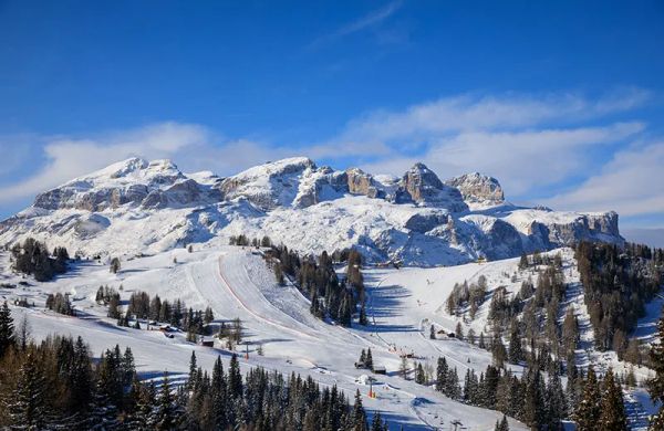
Dolomiti Superski 2026-27: Four New Gondolas, New Reservoirs and an €89 Peak Day Pass
Dolomiti Superski is spending around €100 million across its 12 areas before winter. Kronplatz gets a new 10-passenger gondola with a middle station, 3 Zinnen gets Helmissimo, and Val di Fassa swaps a chairlift for a gondola above Col Valvacin. New water-storage basins and upgraded snowmaking follow, and construction has started on the San Martino to Passo Rolle link. A peak adult day pass is €89.
4 Oct 2026
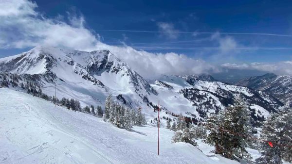
Utah Ski Resort Opening Dates 2026-27: Brian Head First, Eagle Point Out
Brian Head is targeting 6 November, though last year it aimed for 7 November and did not open until the 25th. Park City, Alta and Solitude are pencilled in for 20 November, Snowbird and Snowbasin for 27 November, and Deer Valley for 5 December. Eagle Point will stay closed after the Cottonwood Fire. A super El Niño is forecast, but the big snow is not expected until January.
4 Oct 2026
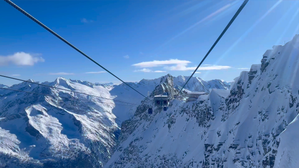
Hintertux Glacier Opens for 2026-27 With 12 Kilometres of Piste
Hintertux became Austria's second glacier to open for 2026-27 on Friday 2 October, after the Pitztal Glacier. Twelve kilometres of piste are running around the Olperer and Gefrorene Wand, served by one gondola and two drag lifts, with the Betterpark also open. Lifts officially run 8:15 am to 4:30 pm, but skiing stops at 2 pm for now.
4 Oct 2026
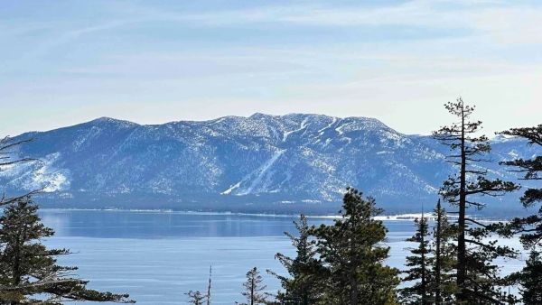
Vail Resorts Counts the Cost of a Thin Winter as Pass Sales Slide Further
A historically poor western winter cut Vail Resorts' annual net income from $280 million to $147.5 million and skier visits by 13.4 per cent. Now 2026-27 pass units are down 12 per cent as of 18 September, worse than the 10 per cent flagged in spring. Vail blames the weather and thinks some buyers are simply waiting, and it forecasts a rebound if the snow behaves.
3 Oct 2026
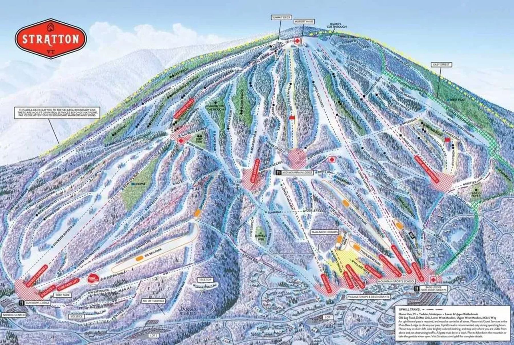
Stratton Trail Map
Downloadable Stratton trail map
Terrain split
99
runs
Beginner41%
Intermediate31%
Advanced17%
Expert11%
670 acres skiable271 hectares
Resort Stats
Elevation
Base1,873ft
Summit3,875ft
Annual snowfall
15ft
Season
2026 - 2027
18 Nov 2026 - 12 Apr 2027
Trail coverage
99 runs
670 acres (271 ha)
About Stratton's trail map
Explore Stratton's full trail map with 99 runs across the mountain, colour-coded by difficulty and shown alongside the terrain split. Use it to plan a day that matches your ability, find lift-served pockets of your favourite grade, and see how the resort links together. Download the piste map (PDF) ↗
More Stratton intelligence: snow report, lift system, webcams, resort overview.