
The Overview
Grasgehren delivers an authentic Allgäu skiing experience with 8km of diverse terrain perfectly suited to families and intermediate skiers. This compact resort maintains traditional Bavarian character away from mass tourism, offering uncrowded slopes and spectacular views of the surrounding Riedberger Horn and Hörner mountains. The excellent snow reliability and family-friendly atmosphere make Grasgehren particularly appealing for those seeking quality skiing without overwhelming size or crowds.
217m
Vertical
11
Runs
11 km
Piste
2m
Annual snow
The Terrain
11 runs across 11 km of piste
Grasgehren is a compact Allgäu ski area above Obermaiselstein, with 11 runs and 11 kilometres of piste between 1,438 metres and 1,655 metres. The vertical is a modest 217 metres, and the grading is 23% beginner and 77% intermediate, with nothing rated advanced or expert. Think of it as a gentle, open mountain of cruisy blues and reds rather than a place for steeps. Access comes from one double chairlift and three T-bars, so the layout is simple and easy to read, which helps when you are herding a group or a nervous learner.
The terrain sits near the Riedberger Horn, high enough that the slopes tend to hold their cover well for this part of Bavaria. Grasgehren works best for beginners, families and intermediates wanting an uncomplicated day on groomed pistes without queuing for big infrastructure. Confident skiers will run out of challenge fairly quickly and are better off treating it as a relaxed half-day or a warm-up before heading to larger Allgäu areas. There is no real freeride or expert terrain here, so expectations are best set around mellow laps, easy progression and a quiet atmosphere.
Terrain split
11
runs
11 runs across 4 grades
Beginner3 runs · 23%
Intermediate8 runs · 77%
Advanced0 runs · 0%
Expert0 runs · 0%
Time it right
When to visit Grasgehren
Grasgehren typically operates from December through March, with the most consistent conditions in January and February. The resort benefits from its elevated position in one of Bavaria's snowiest regions, receiving substantial natural snowfall supplemented by strategic snowmaking on key runs. The predominantly north-facing slopes maintain excellent snow quality throughout the season, often delivering good skiing conditions when lower regions struggle. The microclimate created by the surrounding mountains frequently delivers powder days when other areas receive less favourable weather.
Season 2026 - 2027
27 Nov 2026
Opens
4 Apr 2027
Closes
128
Days open
2 m
Annual snow
Getting there
Getting to Grasgehren, and where to stay
Located near Obermaiselstein in Bavaria's beautiful Allgäu region, Grasgehren sits approximately 170km from Munich and 80km from Memmingen Airport. The resort enjoys a spectacular position within the Nagelfluhkette mountains, surrounded by impressive Alpine scenery. This accessible location allows for easy day trips from larger population centers while maintaining an authentic mountain atmosphere. The surrounding area offers excellent cross-country skiing, winter hiking trails, and traditional Allgäu villages known for their distinctive architecture and cuisine.
Where to stay
Search all stays →Hotels and lodges near Grasgehren, powered by Stay22.
Latest News
From the SnowStash desk

Vermont Ski Resort Opening Dates 2026-27: Few Dates Set, Killington Waits on the Cold
Vermont's season is slow to take shape. Stratton is tentatively targeting 18 November and Sugarbush 21 November, while Pico has Friday 11 December on the calendar. Killington never sets a date and opens when the snowmaking allows, and Vail Resorts has yet to name days for Stowe, Okemo and Mount Snow. The forecasts disagree about snow, and the main El Niño worry for the Green Mountains is warmth.
9 Oct 2026
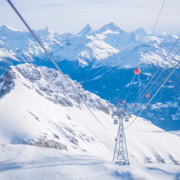
Crans-Montana 2027 World Championships President Resigns Ahead of Fraud Hearing
Less than four months out from the Crans-Montana 2027 World Championships, the man running the organising committee has stepped down. Claude-Alain Schmidhalter resigned as Swiss-Ski vice president and OC president after being indicted over a business dispute unrelated to skiing. He denies the allegations and faces court on October 27. Interim leaders are in place for the February 1-14 event.
9 Oct 2026
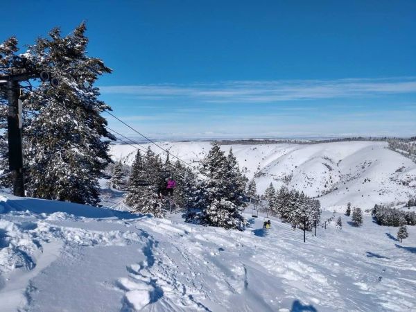
Kelly Canyon, Idaho, Adds Snowmaking, a Bigger Terrain Park and More Parking for 2026-27
Kelly Canyon had a rough 2025-26, and the Idaho resort has spent the summer making sure it doesn’t repeat. Snowmaking now reaches the top of Goldrush, the terrain park is doubling in size with a stereo system, lights and a snack shack, and the car park is getting bigger. Grooming is stepping up too. Target opening is December 4, conditions permitting.
9 Oct 2026
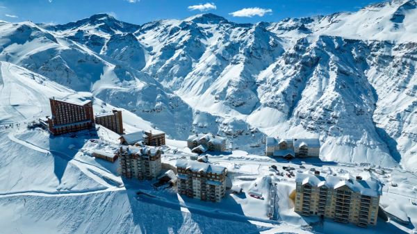
Valle Nevado Extends Season to November 8 After 108 cm in 48 Hours
Winter was meant to be winding down in Chile. Then Valle Nevado took 108 cm in 48 hours in early October, and the resort has pushed its closing date out to November 8 - its latest in 38 years of operation. That makes 143 days of skiing since opening day on June 19, with 690 cm banked for the season. Only part of the mountain is running while the storm settles, so check the mountain report before you plan a trip.
9 Oct 2026
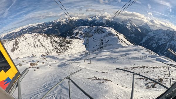
Alps Snow Forecast: Cold Front Brings Thursday Snow to the High Alps
The Alps look a lot more like winter today, for a day or so. A cold front is moving west to east, dropping up to 35 cm on high glaciers and peaks, with snow levels falling to around 1,500-1,800 m at times. Don’t plan a trip around it: mid-elevation snow will be thin and wet, every area is closed bar a limited Sölden glacier opening tomorrow, and warmer weather returns by Monday.
8 Oct 2026
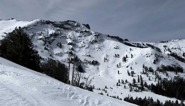
California Ski Resort Opening Dates 2026-27: Mammoth Leads, Tahoe Follows
Mammoth Mountain is first up in California, targeting Friday 13 November after a dusting of September snow. Heavenly and Northstar follow on 20 November, Palisades Tahoe on Wednesday 25 November and Sugar Bowl on 27 November, with Kirkwood on 4 December and June Mountain on 19 December. Plenty of smaller areas have no date yet. A super El Niño favours the Sierra, but a warmer storm track is the catch.
7 Oct 2026
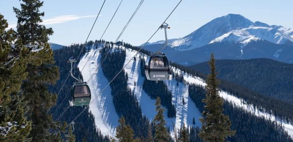
Colorado Ski Resort Opening Dates 2026-27: A-Basin and Keystone Race to Be First
Arapahoe Basin, Keystone and Winter Park are all chasing an October start, though none has a firm date yet. The first dated openers are Breckenridge and Copper on Friday 6 November, then Vail on 13 November, with most of the rest bunched around US Thanksgiving. Hesperus did not open at all last season. A super El Niño offers hope but no guarantee, and forecasters say the southern mountains have the better odds.
5 Oct 2026
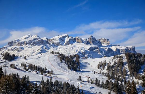
Dolomiti Superski 2026-27: Four New Gondolas, New Reservoirs and an €89 Peak Day Pass
Dolomiti Superski is spending around €100 million across its 12 areas before winter. Kronplatz gets a new 10-passenger gondola with a middle station, 3 Zinnen gets Helmissimo, and Val di Fassa swaps a chairlift for a gondola above Col Valvacin. New water-storage basins and upgraded snowmaking follow, and construction has started on the San Martino to Passo Rolle link. A peak adult day pass is €89.
4 Oct 2026
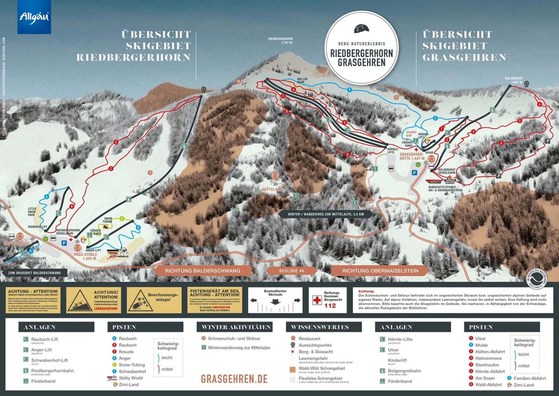
Grasgehren Trail Map
Downloadable Grasgehren trail map
Terrain split
11
runs
Beginner23%
Intermediate77%
Advanced0%
Expert0%
11 km of piste
Resort Stats
Elevation
Base1438m
Summit1655m
Annual snowfall
2m
Season
2026 - 2027
27 Nov 2026 - 4 Apr 2027
Trail coverage
11 runs
11 km
About Grasgehren's trail map
Explore Grasgehren's full trail map with 11 runs across the mountain, colour-coded by difficulty and shown alongside the terrain split. Use it to plan a day that matches your ability, find lift-served pockets of your favourite grade, and see how the resort links together. Download the piste map (PDF) ↗
More Grasgehren intelligence: snow report, lift system, webcams, resort overview.