
Savognin
Savognin: 73.5km piste, 1545m vertical drop, 2713m summit in Graubünden. Family terrain, uncrowded slopes, Surses valley.
Season 2026 - 2027
Opens
12 Dec 2026
Closes
29 Mar 2027
Days open
107
Annual snow
4m
The Overview
Michael Fulton
Melbourne-based skier and snowboarder with 50+ resorts across 5 continents. Specialises in Australian resorts and international resort comparisons.
Savognin spans 1168 to 2713 metres across the eastern flanks of the Surses valley, delivering 73.5 kilometres of piste and 1545 metres of vertical drop. The terrain splits 44 per cent beginner, 52 per cent intermediate and 4 per cent advanced across two distinct sectors centred on Piz Martegnas (2670 metres) and Piz Cartas (2713 metres). Annual snowfall averages 4.3 metres, supplemented by snowmaking on 5 kilometres of piste, with skiing predominantly above 1800 metres ensuring reliable mid-winter conditions.
The area spreads across north and east-facing slopes that hold snow well into spring. Piste 13, an 11.5-kilometre descent from Piz Cartas, threads the entire vertical and serves as the main artery connecting both sectors. The Martegnas side offers wide cruising runs ideal for carving, whilst Piz Cartas terrain opens to high alpine bowls accessed via 3.1 kilometres of sequential T-bars. Intermediate skiers find the resort particularly well suited, with long fall-line runs and minimal flat sections.
The base village sits at 1200 metres astride the Julia River, crossed by a medieval stone bridge and flanked by three historic churches. On-mountain, Tigignas (1600 metres), Radons and Tigia mountain restaurants provide stopping points along the descent. Crowds remain light even during Swiss school holidays. The area holds family-oriented certification and maintains an affordable, unpretentious character distinct from neighbouring prestige resorts.
Savognin operates independently without major pass affiliations, running mid-December through early April. The 2025-26 season opened 7 December and closes 30 March. Children aged 6-9 ski nearly free when accompanied by a paying adult under the Flurin-Kids programme. The resort suits families seeking authentic Swiss alpine skiing, intermediates after mileage, and skiers who value uncrowded slopes and reasonable pricing over glitz.
1545m
Vertical
0
Runs
73.5 km
Piste
4m
Annual snow
The Terrain
0 runs across 73.5 km of piste
Savognin's 73.5 kilometres of piste run from the village at 1,168 metres to 2,713 metres, a vertical of 1,545 metres, across the Surses valley. The mix is gentle: 52% intermediate, 44% beginner and only 4% advanced, with no expert terrain. Wide groomed pistes allow sustained descents rather than short laps, and two gondolas and a six-seat chair carry most of the uphill traffic, backed by six T-bars and three surface lifts. Crowds stay thin outside the school holiday peaks, which suits anyone who dislikes queuing.
Beginners have the La Nars zone near the village, with three magic carpets including Switzerland's longest covered conveyor, a handy shelter for first turns on a cold morning. The upper slopes around Piz Martegnas hold the longest cruising runs, and a few steeper pitches and off-piste options exist for stronger skiers, though they are limited. Savognin suits families, beginners and mellow intermediates who value space and a Romansh-speaking village over a long list of black runs, and it rewards anyone happy to ski without an audience.
Terrain split
0
runs
0 runs across 4 grades
Beginner0 runs · 44%
Intermediate0 runs · 52%
Advanced0 runs · 4%
Expert0 runs · 0%
Time it right
When to visit Savognin
The 2025-26 season runs 7 December to 30 March, with weekend-only operation initially on the Savognin-Piz Martegnas axis before full daily opening from 13 December. Typical seasons span mid-December through early April, totalling 16 to 17 weeks. Closure aligns with Easter Monday in many years. Early-season openings depend on natural snowfall blanketing the predominantly above-treeline terrain, though snowmaking on key pistes ensures base coverage.
Annual snowfall averages 4.3 metres, with summit elevations above 2100 metres receiving the bulk of accumulation. The sheltered Surses valley position delivers consistent snowfall without excessive wind exposure affecting higher peaks. East-facing aspects catch morning sun whilst preserving powder into afternoon hours on north-facing sectors off Piz Martegnas. February typically delivers the snowiest conditions, with 36 centimetres falling during peak weeks. March sees 63 sunny days on average, exceeding the Swiss resort average and making it ideal for spring skiing.
January through March offers the most reliable conditions, with base depths typically exceeding one metre at altitude. December and early April bring more variable coverage, though the resort's elevation range and aspect diversity extend the viable season. Weekends see higher visitation from Swiss day-trippers, whilst midweek periods remain quiet. The resort's family focus means Swiss school holiday weeks in February bring the year's busiest crowds, though queues stay minimal by international standards.
Savognin hosts early-bird skiing events on February and March Sundays, opening lifts from 6:30. Two kilometres of night skiing operates on lighted pistes. The longest toboggan run, Schlittada, descends 900 metres over 7.5 kilometres from Somtgant, passing through a tunnel. A 10.5-kilometre panoramic variant exists. Cross-country trails total 40 kilometres, with 1.3 kilometres illuminated for evening skiing.
Season 2026 - 2027
12 Dec 2026
Opens
29 Mar 2027
Closes
107
Days open
4 m
Annual snow
Getting there
Getting to Savognin, and where to stay
Savognin anchors the Surses valley (also called Oberhalbstein) in southeast Graubünden, 47 kilometres south of Chur and 37 kilometres north of St Moritz via the Julier Pass. The village occupies a wide basin at 1200 metres where the Gelgia River flows through terrain ringed by 3000-metre peaks including Piz Ela and Tinzenhorn. Parc Ela, Switzerland's largest nature park, surrounds the valley. The municipality merged with eight neighbouring villages in 2016 to form greater Surses, though Savognin remains the valley's main centre with district hospital and secondary school.
Tiefencastel lies 9 kilometres north and serves as the key transport junction. Chur, Graubünden's capital, sits 40 kilometres north. Lenzerheide is 20 kilometres northwest. The linguistically diverse region blends Romansh (spoken by 53 per cent of residents), German and Italian influences. Historic stone bridges, three churches and traditional architecture define the village character. Cunter, Riom-Parsonz and Salouf occupy the wider valley. St Moritz lies 40 kilometres southeast; Bivio, 18 kilometres south, marks the route to the Engadine.
Motorway A13 from Zurich to San Bernardino provides main access, exiting at Thusis-Süd (exit 22), then continuing via Tiefencastel and Cunter on well-maintained valley roads. Chur to Savognin takes 40 minutes by car. The Julier Pass (2284 metres) connects to St Moritz but closes overnight in heavy snowfall. Roads within the valley remain passable year-round with winter tyres and chains. Parking exists at the gondola base and free lakeside lots. No direct motorway reaches the resort.
Zurich Airport lies 160 kilometres north, roughly two hours' drive. Swiss Federal Railways (SBB) connects Zurich to Chur in 75 minutes. From Chur, Rhaetian Railway trains reach Tiefencastel in 45 minutes, where PostBus route 182 covers the final 9 kilometres to Savognin in 15 minutes. Direct PostBus service from Chur takes 74 minutes. Train-bus connections run hourly. Innsbruck, Milan Malpensa and Geneva airports serve as secondary options for international arrivals.
Where to stay
Search all stays →Hotels and lodges near Savognin, powered by Stay22.
Latest News
From the SnowStash desk

Europe Ski Resorts Open Now: What Is Skiable in Mid-October 2026
Europe’s ski season is open, technically. After a record-warm summer, glaciers in Austria, Switzerland and Italy are running a few pistes apiece, Sölden, Stubai and Kitzsteinhorn started late, Titlis has pushed back to 24 October, and Zermatt reopens a few lifts on 14 October after more than two months shut. Finland’s Levi and Ruka are skiing on stored snow. Here is what is open, and what you actually get at each.
14 Oct 2026

Zermatt Plans World Cup Downhill Return on the Gornergrat for 2028
Zermatt is having another crack at a World Cup downhill, and this time nobody has to cross a border. Around 13 million Swiss francs is going into rebuilding the Gornergrat piste, including a jump fed by a roughly 300-metre in-run across the roof of the Gornergrat Railway gallery, with the Matterhorn lined up behind it for the TV cameras. First men’s race is pencilled in for March 2028, pending FIS homologation.
14 Oct 2026

Mt. Rose Begins Snowmaking for the 2026-27 Season at Lake Tahoe
Lake Tahoe’s highest base elevation is paying off early: Mt. Rose has started making snow for 2026-27 after the first flurries and a cold snap. The Nevada resort is backing it with nearly US$2 million in upgrades, including a replacement snowmaking main line, a new PistenBully groomer and restraint bars on every lift. Opening day is yet to be confirmed, though Heavenly and Northstar are already eyeing 20 November.
13 Oct 2026

Utah Ski Resorts 2026-27: What’s New at Alta, Deer Valley, Powder Mountain and More
Utah is still building flat out. For 2026-27, Powder Mountain opens a steep new Skytrac chair into more than 1,000 acres of advanced terrain, Deer Valley adds 200 acres on Hail Peak, Sundance gets a new quad and Park City adds a gondola from its new parking structure. Snowmaking is expanding almost everywhere, Eagle Point stays closed after the Cottonwood Fire, and the 2034 Games are setting the pace. Here’s what’s new, resort by resort.
13 Oct 2026

Mt Hutt Invests NZ$12 Million in Base Area, Tripling Its Sun Deck
Mt Hutt is getting busier, and its base lodge is about to catch up. NZ$12 million goes into a heated sun deck roughly three times the current size (430 m² to 1,300 m²), plus a new toilet block, heated steps down to snow level, extra storage and a new food and beverage outlet. Building starts after the 2026 season, with everything due for winter 2027.
11 Oct 2026

Vermont Ski Resort Opening Dates 2026-27: Few Dates Set, Killington Waits on the Cold
Vermont's season is slow to take shape. Stratton is tentatively targeting 18 November and Sugarbush 21 November, while Pico has Friday 11 December on the calendar. Killington never sets a date and opens when the snowmaking allows, and Vail Resorts has yet to name days for Stowe, Okemo and Mount Snow. The forecasts disagree about snow, and the main El Niño worry for the Green Mountains is warmth.
9 Oct 2026
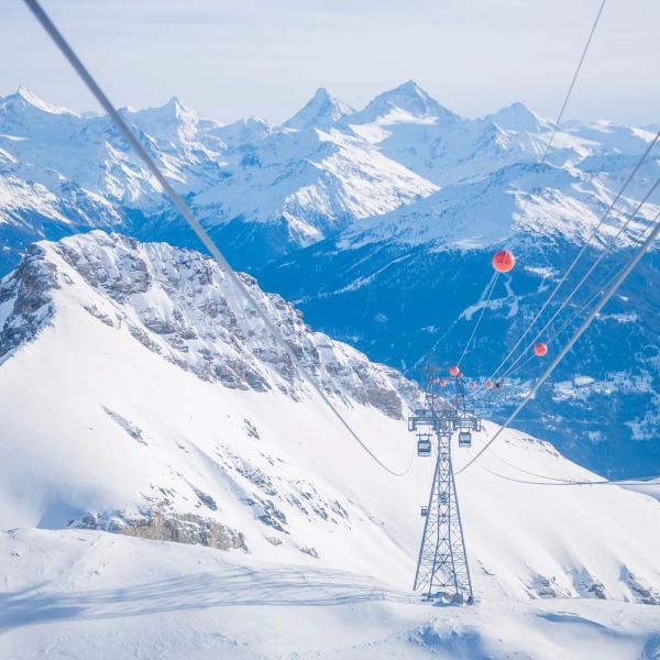
Crans-Montana 2027 World Championships President Resigns Ahead of Fraud Hearing
Less than four months out from the Crans-Montana 2027 World Championships, the man running the organising committee has stepped down. Claude-Alain Schmidhalter resigned as Swiss-Ski vice president and OC president after being indicted over a business dispute unrelated to skiing. He denies the allegations and faces court on October 27. Interim leaders are in place for the February 1-14 event.
9 Oct 2026
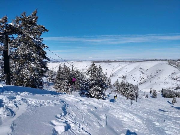
Kelly Canyon, Idaho, Adds Snowmaking, a Bigger Terrain Park and More Parking for 2026-27
Kelly Canyon had a rough 2025-26, and the Idaho resort has spent the summer making sure it doesn’t repeat. Snowmaking now reaches the top of Goldrush, the terrain park is doubling in size with a stereo system, lights and a snack shack, and the car park is getting bigger. Grooming is stepping up too. Target opening is December 4, conditions permitting.
9 Oct 2026