
The Overview
Michael Fulton
Melbourne-based skier and snowboarder with 50+ resorts across 5 continents. Specialises in Australian resorts and international resort comparisons.
Lost Trail Powder Mountain's summit reaches 8,196 feet, dropping 1,795 vertical feet to a base at 6,401 feet across 69 runs spread over 1,800 acres straddling the Montana-Idaho border. Terrain splits 40 per cent intermediate, and 20 per cent each for beginner, advanced and expert, with average annual snowfall of roughly 306 inches. The resort carries Indy Pass affiliation. Eight lifts, including five double chairs, serve the mountain alongside three surface lifts.
Lost Trail sits at the junction of US Highway 93 and Montana State Highway 43 at Lost Trail Pass, with Chairlift 1 running approximately along the Idaho-Montana border and terrain to its south, including Chairlift 2, actually located in Idaho. This border-straddling geography, combined with the resort's legendary Thursday powder days, has built a devoted following among skiers in the Bitterroot Valley and beyond. The evenly balanced terrain split across all four ability levels suits a genuinely broad range of skiers.
The ski area traces its origins to 1938, when it began as a modest, volunteer-operated facility on the Continental Divide. The pass itself takes its name from a local rancher's insistence, informed by his familiarity with the Lewis and Clark journals, when US Highway 93 was built through the area in the 1930s. Ownership of the ski hill changed hands roughly every three years through its early decades until the Grasser family took over.
In 1967, local resident Bill Grasser and business partner Chuck Shuland acquired the property, with Grasser buying out his partner in 1975 after operating the resort together from 1969. The mountain is now owned by Scott and Judy Grasser, continuing more than half a century of family ownership. Adult daily tickets run from 45 to 55 US dollars.
1,798ft
Vertical
69
Runs
1,800 acres
Skiable
25ft
Annual snow
Indy
Pass
The Terrain
69 runs across 1,800 acres skiable
Lost Trail Powder Mountain straddles the Montana and Idaho border at Lost Trail Pass, with 69 runs across about 1,800 acres (728 hectares). The base is 6,400 ft (1,951 m) and the summit rises to 8,200 ft (2,499 m), a vertical drop of 1,800 ft (548 m). Intermediate runs make up 40% of the terrain, with 20% each for beginner, advanced and expert. The lift network is simple, with five double chairs and three surface lifts. The high pass location brings deep, dry snow, and Sanity records annual snowfall at roughly 306 inches, which explains its powder reputation across the region.
Most of the main runs and the base area sit in Montana, while Chair 1 follows the state line and the terrain served by Chair 2 lies in Idaho. Open glades, tree runs and powder-friendly pitches make up much of the expert and advanced skiing, and the groomed runs stay mellow enough for beginners and intermediates. It suits powder skiers, families and Indy Pass holders who want a low-key, old-school day without queues. Anyone expecting high-speed chairs or a big village will find none, but those who come for the snow rarely mind the double chairs and the simple, friendly feel of the place.
Terrain split
69
runs
69 runs across 4 grades
Beginner14 runs · 20%
Intermediate28 runs · 40%
Advanced14 runs · 20%
Expert14 runs · 20%
Time it right
When to visit Lost Trail Powder Mountain
The 2025-26 season at Lost Trail Powder Mountain ran from 5 December 2025 to 6 April 2026, a roughly eighteen-week season supported by average annual snowfall of around 306 inches. This substantial snowfall total underpins the resort's legendary reputation for deep, reliable powder, particularly on the Thursdays for which the mountain has become known among regional skiers.
Midwinter, from December through February, typically brings the most consistent conditions across the resort's evenly balanced terrain. Given the mountain's remote setting straddling the Montana-Idaho border at Lost Trail Pass, the resort draws primarily from the Bitterroot Valley and broader regional skier base rather than national destination traffic, keeping crowds notably lighter than more accessible resorts.
As an Indy Pass resort, Lost Trail draws some visiting skiers holding that multi-resort pass in addition to its core regional base. The resort's genuinely balanced terrain split across beginner, intermediate, advanced and expert skiing suits families and groups with mixed ability levels. School holiday periods bring increased family visitation given this broad terrain appeal.
Specific event programming beyond standard operations and the resort's Thursday powder day reputation is not confirmed in available resort information. More than fifty years of Grasser family ownership, from Bill Grasser's 1967 purchase through to the current Scott and Judy Grasser stewardship, continues to shape the resort's community-focused, family-run character each season. Lost Trail's unusual cross-border geography remains a distinctive point of interest for visitors throughout the winter.
Season 2026 - 2027
11 Dec 2026
Opens
28 Mar 2027
Closes
107
Days open
25 ft
Annual snow
Getting there
Getting to Lost Trail Powder Mountain, and where to stay
Lost Trail Powder Mountain sits at Lost Trail Pass, straddling the Montana-Idaho border at the junction of US Highway 93 and Montana State Highway 43, with a base elevation of 6,401 feet and a summit at 8,196 feet across a 1,795-foot vertical drop over 1,800 acres in the Bitterroot Range. This remote setting places the resort along one of the more scenic mountain passes in the northern Rockies.
The Bitterroot Valley, to the north in Montana, and the Salmon, Idaho area, to the south, both provide lodging and services within a reasonable drive of the resort. Missoula, the nearest larger city, lies a considerable distance north through the Bitterroot Valley. This remote location keeps the resort's visitor base genuinely regional rather than drawing from major metropolitan areas.
US Highway 93 provides direct access to Lost Trail Pass from both the Montana and Idaho sides, making the resort straightforward to reach despite its remote setting. Winter driving conditions on this mountain pass route can include snow and ice, and the substantial snowfall the area receives means chains or traction tyres are often advisable during storms. There is no direct public transport service to the resort.
Missoula International Airport, a considerable drive to the north, is the nearest airport with substantial commercial service. This distance reinforces Lost Trail's identity as a genuinely remote mountain destination reached deliberately by regional skiers rather than a convenient fly-in resort.
Where to stay
Search all stays →Hotels and lodges near Lost Trail Powder Mountain, powered by Stay22.
Latest News
From the SnowStash desk

Zermatt Plans World Cup Downhill Return on the Gornergrat for 2028
Zermatt is having another crack at a World Cup downhill, and this time nobody has to cross a border. Around 13 million Swiss francs is going into rebuilding the Gornergrat piste, including a jump fed by a roughly 300-metre in-run across the roof of the Gornergrat Railway gallery, with the Matterhorn lined up behind it for the TV cameras. First men’s race is pencilled in for March 2028, pending FIS homologation.
14 Oct 2026

Mt. Rose Begins Snowmaking for the 2026-27 Season at Lake Tahoe
Lake Tahoe’s highest base elevation is paying off early: Mt. Rose has started making snow for 2026-27 after the first flurries and a cold snap. The Nevada resort is backing it with nearly US$2 million in upgrades, including a replacement snowmaking main line, a new PistenBully groomer and restraint bars on every lift. Opening day is yet to be confirmed, though Heavenly and Northstar are already eyeing 20 November.
13 Oct 2026

Utah Ski Resorts 2026-27: What’s New at Alta, Deer Valley, Powder Mountain and More
Utah is still building flat out. For 2026-27, Powder Mountain opens a steep new Skytrac chair into more than 1,000 acres of advanced terrain, Deer Valley adds 200 acres on Hail Peak, Sundance gets a new quad and Park City adds a gondola from its new parking structure. Snowmaking is expanding almost everywhere, Eagle Point stays closed after the Cottonwood Fire, and the 2034 Games are setting the pace. Here’s what’s new, resort by resort.
13 Oct 2026

Mt Hutt Invests NZ$12 Million in Base Area, Tripling Its Sun Deck
Mt Hutt is getting busier, and its base lodge is about to catch up. NZ$12 million goes into a heated sun deck roughly three times the current size (430 m² to 1,300 m²), plus a new toilet block, heated steps down to snow level, extra storage and a new food and beverage outlet. Building starts after the 2026 season, with everything due for winter 2027.
11 Oct 2026

Vermont Ski Resort Opening Dates 2026-27: Few Dates Set, Killington Waits on the Cold
Vermont's season is slow to take shape. Stratton is tentatively targeting 18 November and Sugarbush 21 November, while Pico has Friday 11 December on the calendar. Killington never sets a date and opens when the snowmaking allows, and Vail Resorts has yet to name days for Stowe, Okemo and Mount Snow. The forecasts disagree about snow, and the main El Niño worry for the Green Mountains is warmth.
9 Oct 2026
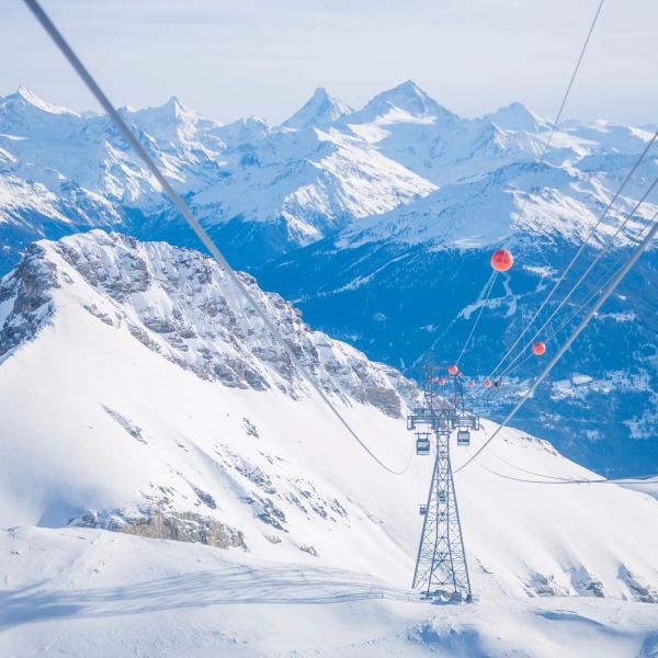
Crans-Montana 2027 World Championships President Resigns Ahead of Fraud Hearing
Less than four months out from the Crans-Montana 2027 World Championships, the man running the organising committee has stepped down. Claude-Alain Schmidhalter resigned as Swiss-Ski vice president and OC president after being indicted over a business dispute unrelated to skiing. He denies the allegations and faces court on October 27. Interim leaders are in place for the February 1-14 event.
9 Oct 2026
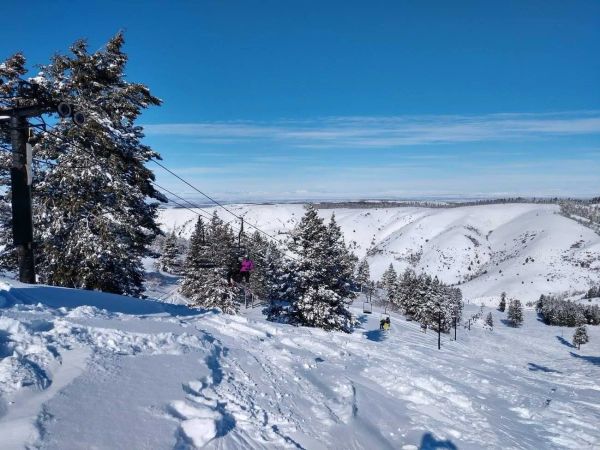
Kelly Canyon, Idaho, Adds Snowmaking, a Bigger Terrain Park and More Parking for 2026-27
Kelly Canyon had a rough 2025-26, and the Idaho resort has spent the summer making sure it doesn’t repeat. Snowmaking now reaches the top of Goldrush, the terrain park is doubling in size with a stereo system, lights and a snack shack, and the car park is getting bigger. Grooming is stepping up too. Target opening is December 4, conditions permitting.
9 Oct 2026
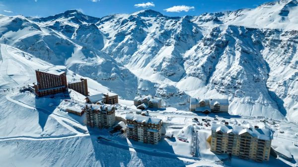
Valle Nevado Extends Season to November 8 After 108 cm in 48 Hours
Winter was meant to be winding down in Chile. Then Valle Nevado took 108 cm in 48 hours in early October, and the resort has pushed its closing date out to November 8 - its latest in 38 years of operation. That makes 143 days of skiing since opening day on June 19, with 690 cm banked for the season. Only part of the mountain is running while the storm settles, so check the mountain report before you plan a trip.
9 Oct 2026