
Pajarito Mountain
750 acres, 45 runs near Los Alamos. Founded by Manhattan Project scientists, Power Pass access.
Season 2026 - 2027
Opens
26 Dec 2026
Closes
7 Mar 2027
Days open
71
Annual snow
14ft
The Overview
Michael Fulton
Melbourne-based skier and snowboarder with 50+ resorts across 5 continents. Specialises in Australian resorts and international resort comparisons.
Pajarito Mountain's summit reaches 10,440 feet, dropping 1,441 vertical feet to a base at 8,999 feet across 45 runs spread over 750 acres near Los Alamos, New Mexico. Terrain splits 50 per cent intermediate, 30 per cent advanced and 20 per cent beginner, with no expert-rated runs, and average annual snowfall of roughly 165 inches. The resort offers Power Pass access. Five lifts, including three double chairs and one quad chair, serve the mountain alongside one surface lift.
Pajarito carries an unusual scientific pedigree: the ski area traces directly back to the Manhattan Project scientists and soldiers stationed at nearby Los Alamos during the Second World War. This origin gives the resort a distinctive place in ski history among New Mexico's mountains, alongside its more conventional identity today as a community-run, volunteer-supported ski area. Its terrain mix, weighted toward intermediate and advanced skiing, suits a broad range of visitors.
In 1943, Los Alamos scientists and soldiers, many of whom had grown up skiing in the Alps, formed the Los Alamos Ski Club, with early members including Nobel laureates Enrico Fermi and Emilio Segrè, along with J. Robert Oppenheimer. The club first opened a modest ski hill at Sawyers Hill in December 1944, charging 7.50 US dollars a person for access to a single tow rope. As snow on Sawyers Hill grew unreliable, the club identified Pajarito Mountain as offering steeper runs, more terrain and more consistent snow.
On 23 November 1957, the volunteer-built Pajarito Mountain ski area opened with two tows, double the vertical drop of Sawyers Hill, a beginner's slope and a narrow upper trail. Investor James Coleman acquired the ski area in 2014 in partnership with Los Alamos County, and the resort joined Mountain Capital Partners in 2018, combining continued volunteer involvement with professional management. Adult daily tickets run from 45 to 65 US dollars, with the Power Pass from 399 dollars.
1,440ft
Vertical
45
Runs
750 acres
Skiable
14ft
Annual snow
The Terrain
45 runs across 750 acres skiable
Pajarito Mountain rises above Los Alamos in the Jemez Mountains and covers 750 acres (304 hectares) with 45 runs. The summit reaches 10,440 feet (3,182 m) and the vertical is 1,440 feet (439 m), starting from a base at 9,000 feet. Half the terrain is intermediate, 30% advanced and 20% beginner, so the balance tilts harder than most small hills. Three double chairs, one quad and a surface lift do the work, and snowfall averages about 165 inches a year. This is a community-run local mountain rather than a destination resort, and it is best judged on those terms.
The best-known terrain is the Fab Four, a string of double black diamond mogul runs that gives the mountain its edge. For gentler laps, the blue runs Why Not and One More Time offer steady cruising, and the Aspen run has had a T-bar since the 1962-63 season. Beyond those names the mountain is compact, so expect repeat laps rather than a long tour. Pajarito suits intermediate and advanced skiers from Los Alamos and northern New Mexico, and visitors based in Santa Fe who want a day on snow without a long drive to a bigger resort.
Terrain split
45
runs
45 runs across 4 grades
Beginner9 runs · 20%
Intermediate23 runs · 50%
Advanced14 runs · 30%
Expert0 runs · 0%
Time it right
When to visit Pajarito Mountain
The 2025-26 season at Pajarito Mountain ran from 14 December 2025 to 8 March 2026, one of the shorter seasons among New Mexico's ski areas at roughly twelve weeks. Average annual snowfall of around 165 inches supports this window, though the resort's season length can vary more than higher-snowfall New Mexico peers depending on annual conditions. Season dates can shift depending on early and late-season weather.
Midwinter, from January through February, typically offers the most reliable natural conditions across the resort's intermediate and advanced terrain. Given Pajarito's scientific-community origins and continued volunteer involvement, the resort retains a distinctly local character relative to New Mexico's more commercially oriented mountains. Weekend crowds draw primarily from the Los Alamos and broader northern New Mexico area.
As a Power Pass resort under Mountain Capital Partners since 2018, Pajarito draws some visiting skiers holding that multi-resort pass in addition to its core Los Alamos community base. School holiday periods bring increased family visitation given the resort's intermediate and beginner-weighted terrain. The resort's origins within the Los Alamos Ski Club continue to shape its community-oriented programming.
Specific event programming beyond standard lift operations is not confirmed in available resort information. The blend of volunteer involvement and Mountain Capital Partners' professional management, in place since 2018, continues to define how the resort operates each season. Pajarito's identity as a mountain built by scientists and volunteers remains a distinctive part of its seasonal character.
Season 2026 - 2027
26 Dec 2026
Opens
7 Mar 2027
Closes
71
Days open
14 ft
Annual snow
Getting there
Getting to Pajarito Mountain, and where to stay
Pajarito Mountain sits near Los Alamos in northern New Mexico, with a base elevation of 8,999 feet and a summit at 10,440 feet across a 1,441-foot vertical drop over 750 acres. The resort sits within the Jemez Mountains, a volcanic range distinct from the Sangre de Cristo Mountains that host Santa Fe and Taos further east.
Los Alamos itself is the nearest town, a small city built around the Los Alamos National Laboratory with a history directly tied to the ski area's founding by Manhattan Project scientists. Santa Fe, New Mexico's state capital, lies roughly 35 miles to the southeast, providing more extensive lodging and dining options for visitors. The surrounding Jemez Mountains offer additional outdoor recreation beyond skiing.
New Mexico State Route 501 and local roads connect Los Alamos to Pajarito Mountain, with the resort a short drive from the town centre. Winter driving conditions on the approach can include snow and ice at elevation, though the route is well used given the resort's role as the community's local mountain. There is no direct public transport service to the ski area.
Santa Fe Regional Airport, roughly 45 minutes away, is the nearest airport with commercial service, while Albuquerque International Sunport offers more extensive flight options a further drive to the south. Most Pajarito visitors are Los Alamos and northern New Mexico locals rather than fly-in destination travellers, consistent with the resort's community-rooted identity.
Where to stay
Search all stays →Hotels and lodges near Pajarito Mountain, powered by Stay22.
Latest News
From the SnowStash desk

Vermont Ski Resort Opening Dates 2026-27: Few Dates Set, Killington Waits on the Cold
Vermont's season is slow to take shape. Stratton is tentatively targeting 18 November and Sugarbush 21 November, while Pico has Friday 11 December on the calendar. Killington never sets a date and opens when the snowmaking allows, and Vail Resorts has yet to name days for Stowe, Okemo and Mount Snow. The forecasts disagree about snow, and the main El Niño worry for the Green Mountains is warmth.
9 Oct 2026
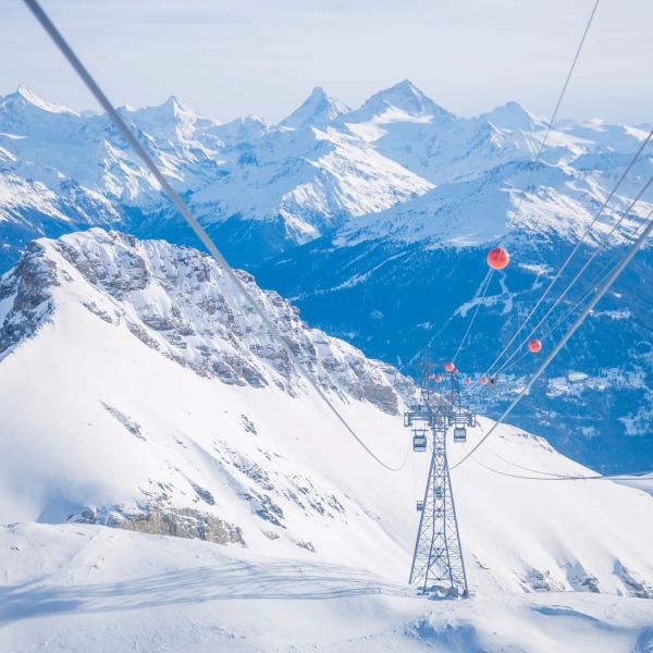
Crans-Montana 2027 World Championships President Resigns Ahead of Fraud Hearing
Less than four months out from the Crans-Montana 2027 World Championships, the man running the organising committee has stepped down. Claude-Alain Schmidhalter resigned as Swiss-Ski vice president and OC president after being indicted over a business dispute unrelated to skiing. He denies the allegations and faces court on October 27. Interim leaders are in place for the February 1-14 event.
9 Oct 2026
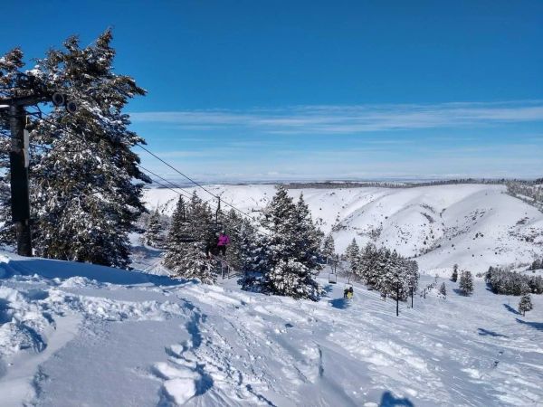
Kelly Canyon, Idaho, Adds Snowmaking, a Bigger Terrain Park and More Parking for 2026-27
Kelly Canyon had a rough 2025-26, and the Idaho resort has spent the summer making sure it doesn’t repeat. Snowmaking now reaches the top of Goldrush, the terrain park is doubling in size with a stereo system, lights and a snack shack, and the car park is getting bigger. Grooming is stepping up too. Target opening is December 4, conditions permitting.
9 Oct 2026
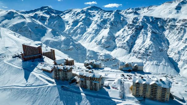
Valle Nevado Extends Season to November 8 After 108 cm in 48 Hours
Winter was meant to be winding down in Chile. Then Valle Nevado took 108 cm in 48 hours in early October, and the resort has pushed its closing date out to November 8 - its latest in 38 years of operation. That makes 143 days of skiing since opening day on June 19, with 690 cm banked for the season. Only part of the mountain is running while the storm settles, so check the mountain report before you plan a trip.
9 Oct 2026
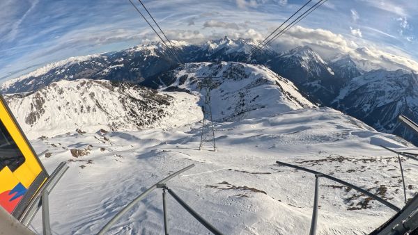
Alps Snow Forecast: Cold Front Brings Thursday Snow to the High Alps
The Alps look a lot more like winter today, for a day or so. A cold front is moving west to east, dropping up to 35 cm on high glaciers and peaks, with snow levels falling to around 1,500-1,800 m at times. Don’t plan a trip around it: mid-elevation snow will be thin and wet, every area is closed bar a limited Sölden glacier opening tomorrow, and warmer weather returns by Monday.
8 Oct 2026
California Ski Resort Opening Dates 2026-27: Mammoth Leads, Tahoe Follows
Mammoth Mountain is first up in California, targeting Friday 13 November after a dusting of September snow. Heavenly and Northstar follow on 20 November, Palisades Tahoe on Wednesday 25 November and Sugar Bowl on 27 November, with Kirkwood on 4 December and June Mountain on 19 December. Plenty of smaller areas have no date yet. A super El Niño favours the Sierra, but a warmer storm track is the catch.
7 Oct 2026
Colorado Ski Resort Opening Dates 2026-27: A-Basin and Keystone Race to Be First
Arapahoe Basin, Keystone and Winter Park are all chasing an October start, though none has a firm date yet. The first dated openers are Breckenridge and Copper on Friday 6 November, then Vail on 13 November, with most of the rest bunched around US Thanksgiving. Hesperus did not open at all last season. A super El Niño offers hope but no guarantee, and forecasters say the southern mountains have the better odds.
5 Oct 2026
Dolomiti Superski 2026-27: Four New Gondolas, New Reservoirs and an €89 Peak Day Pass
Dolomiti Superski is spending around €100 million across its 12 areas before winter. Kronplatz gets a new 10-passenger gondola with a middle station, 3 Zinnen gets Helmissimo, and Val di Fassa swaps a chairlift for a gondola above Col Valvacin. New water-storage basins and upgraded snowmaking follow, and construction has started on the San Martino to Passo Rolle link. A peak adult day pass is €89.
4 Oct 2026