

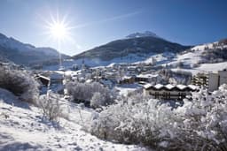
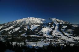
Brigels (Waltensburg/Andiast) Trail Map & Piste Map

Brigels (Waltensburg/Andiast) Paper Trail Maps
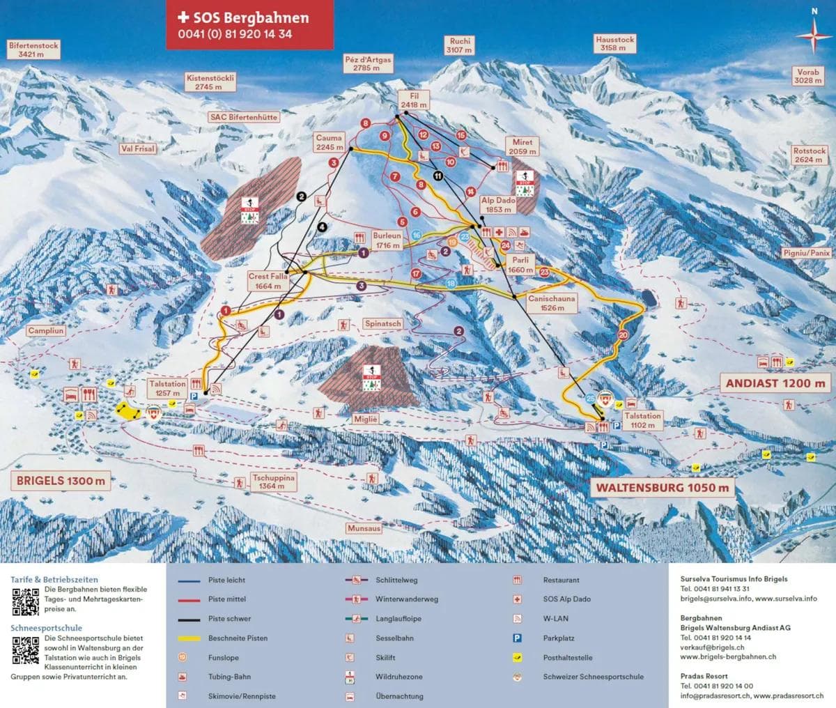
How to Read the Brigels (Waltensburg/Andiast) Trail Map
Trail Difficulty Colors
- • Blue: Beginner-friendly runs for new skiers
- • Red: Intermediate trails with moderate challenge
- • Black: Advanced runs requiring strong skills
- • Double Black: Expert-only terrain with high difficulty
Note: European resorts use Blue for beginner and Red for intermediate runs
Map Symbols
🚡 Chairlifts: Main mountain access
🔄 Gondolas: Enclosed cabin transport
🎿 Ski Runs: Marked trails with difficulty ratings
🏠 Facilities: Lodges, restaurants, and services
💡 Pro Tip: Start with green runs to warm up
Trails
Total Runs
23
Total Area
40km
24.9 miles
📱 Complete Brigels (Waltensburg/Andiast) Mountain Intelligence
Brigels (Waltensburg/Andiast) Trail Map FAQ - Complete Ski Runs Guide
How many ski runs does Brigels (Waltensburg/Andiast) have?
Brigels (Waltensburg/Andiast) features 23 ski runs covering 40 kilometers of terrain. The Brigels (Waltensburg/Andiast) trail map shows runs for all skill levels from beginner green runs to expert black diamond trails.
Can I download the Brigels (Waltensburg/Andiast) trail map?
Yes! The Brigels (Waltensburg/Andiast) trail map is available for download as a PDF file. Look for the download button on the trail map image above. This Brigels (Waltensburg/Andiast) piste map can be saved to your phone or printed for easy reference while skiing.
What do the colors on the Brigels (Waltensburg/Andiast) trail map mean?
The Brigels (Waltensburg/Andiast) trail map uses standard ski run difficulty ratings: Blue for beginner runs, Red for intermediate, Black for advanced, and Black for expert terrain. This Brigels (Waltensburg/Andiast) ski map color coding helps you choose appropriate trails for your skill level.
Where are the best beginner runs at Brigels (Waltensburg/Andiast)?
Beginner skiers should look for green runs on the Brigels (Waltensburg/Andiast) trail map, typically located near the base area and served by beginner-friendly lifts. The Brigels (Waltensburg/Andiast) ski map shows these gentle slopes perfect for learning and building confidence.
How do I find the fastest way down the mountain at Brigels (Waltensburg/Andiast)?
Use the Brigels (Waltensburg/Andiast) trail map to identify blue and red runs that connect directly to the base area. Look for trails marked as “direct routes” or “main runs” on the Brigels (Waltensburg/Andiast) piste map. These typically offer the most efficient descent from the summit.
Are there any hidden trails not shown on the Brigels (Waltensburg/Andiast) trail map?
The Brigels (Waltensburg/Andiast) trail map shows all official marked ski runs and maintained trails. However, some advanced skiers may discover unofficial routes between marked trails. Always check the Brigels (Waltensburg/Andiast)ski map for current trail status and closures before exploring.
How often is the Brigels (Waltensburg/Andiast) trail map updated?
The Brigels (Waltensburg/Andiast) trail map is updated seasonally to reflect any new trails, lift changes, or facility additions. For real-time trail conditions and closures, check the current snow report alongside the Brigels (Waltensburg/Andiast) piste map.
Can I use the Brigels (Waltensburg/Andiast) trail map on my mobile device?
Absolutely! The Brigels (Waltensburg/Andiast) trail map is fully mobile-optimized. You can view the interactive Brigels (Waltensburg/Andiast)ski map on your smartphone or tablet, and download the PDF version for offline use. This makes theBrigels (Waltensburg/Andiast) trail map perfect for on-mountain navigation.
Resort Stats
Elevation
Base
1102m
Summit
2418m
Annual Snowfall
4.3m
Season
2025 - 2026
12/7/2025 - 3/30/2026
Trail Coverage
23 Runs
40 km
Latest News
Resort Spotlight: Arber - Bavaria's Highest Resort Without the Alpine Crowds
Jul 14, 2026
Resort Spotlight: Sapporo Kokusai - The Pragmatic Powder Stop Near Sapporo
Jul 13, 2026
Resort Spotlight: Mont Sainte Anne - Eastern Canada's Vertical Heavyweight Gets the Fundamentals Right
Jul 12, 2026
Resort Spotlight: Savognin - Switzerland's Least Pretentious Ski Valley
Jul 11, 2026
Resort Spotlight: Hindelang Oberjoch - Germany's Highest Village Offers Reliable Intermediate Terrain
Jul 10, 2026