
Mt Dobson
400 hectares, 14 runs, 430m vertical. Family-owned Mt Dobson delivers sun-soaked intermediate terrain in New Zealand's Mackenzie.
Season 2026
Opens
28 June 2026
Closes
27 Sept 2026
Days open
91
Annual snow
3m
The Overview
Michael Fulton
Melbourne-based skier and snowboarder with 50+ resorts across 5 continents. Specialises in Australian resorts and international resort comparisons.
Mt Dobson operates across 400 hectares of skiable terrain with 14 marked runs spanning a 430-metre vertical drop from 1600 to 2030 metres elevation. The field sits in a 3-kilometre-wide treeless basin at the southern end of the Two Thumb Range in Te Kahui Kaupeka Conservation Park. Annual snowfall averages 2.54 metres, with the base at 1725 metres claiming the title of New Zealand's highest car park. The family-owned commercial operation opened in 1979 following construction of a 15-kilometre access road.
Terrain splits 25 per cent beginner, 50 per cent intermediate, and 25 per cent advanced across the sun-facing basin. The Opuha Saddle Triple Chair accesses wide groomed runs and a natural halfpipe beneath the lift line. The Fairlie Ridge T-Bar climbs to 2015 metres, opening steeper terrain including Te Kahui Steeps and Stackit. Advanced skiers hike to Dobson Peak at 2095 metres for views across Lake Tekapo, Lake Pukaki and Aoraki/Mt Cook.
The relaxed club-field atmosphere draws families and learners to wide, uncrowded slopes. Weekdays see minimal lift queues even during peak season. The Foote Rest Café serves Fairlie Bakehouse pies and barista coffee at the base lodge alongside basic rental and ski school facilities. No on-mountain accommodation exists; visitors stay in Fairlie or Lake Tekapo.
Operating independently without major pass affiliations, Mt Dobson runs promotions including Mates Rates Mondays with two-for-one tickets and half-price Tuesdays for women outside school holidays. Adult day passes cost NZ$118 regular, NZ$140 peak. The 2026 season opens 28 June and closes 27 September. Best suited to intermediates, families, and budget-conscious skiers seeking uncrowded terrain and quintessential Kiwi skiing.
430m
Vertical
14
Runs
988 acres
Skiable
3m
Annual snow
The Terrain
14 runs across 988 acres skiable
Mt Dobson spreads 14 runs across 988 acres skiable of terrain. It leans intermediate at 50%, with 4 beginner runs to find your feet and 4 advanced or expert runs when you want to push.
Terrain split
14
runs
14 runs across 4 grades
Beginner4 runs · 25%
Intermediate7 runs · 50%
Advanced4 runs · 25%
Expert0 runs · 0%
Time it right
When to visit Mt Dobson
The 2026 season runs from 28 June through 27 September, with opening subject to snow coverage. Typical operations span early July to early October depending on conditions. Historical opening dates vary from late June to early July across recent years. The field opened 6 July 2025 and 5 July 2024, adjusting annually based on pre-season accumulation.
Annual snowfall averages 254 centimetres at the high-altitude base. The second week of August typically delivers peak snowfall with 26 centimetres over 2.5 snowy days. August offers the most reliable coverage with average depths reaching 108 centimetres at summit and 49 centimetres at base. The southwest-facing basin receives regular dumps from southerly fronts whilst sitting high enough to stay cold when lower fields receive rain.
July and August provide optimal powder conditions before spring softening begins in September. The sun-drenched basin suits learners but can produce variable off-piste conditions through sun baking. Mid-August combines deepest snowpack with 16 average sunny days, balancing coverage and weather. Early season typically offers lighter crowds and discounted passes before school holidays.
Weekly promotions include Mates Rates Mondays with two-for-one tickets and Chicks on Tuesdays offering women half-day rates for full-day access, both excluding school holidays. Birthday bonus grants free passes on your birthday. No night skiing operates. The field closes when spring temperatures compromise coverage, usually mid to late September depending on seasonal patterns.
Season 2026
28 June 2026
Opens
27 Sept 2026
Closes
91
Days open
3 m
Annual snow
Getting there
Getting to Mt Dobson, and where to stay
Mt Dobson occupies a southwest-facing basin in the Two Thumb Range at the southern end of Te Kahui Kaupeka Conservation Park in the Mackenzie Basin. The base sits at 1725 metres in South Canterbury on New Zealand's South Island, 29 kilometres west of Fairlie. Dobson Peak rises to 2095 metres immediately north of the ski area within the broader Southern Alps system.
Fairlie township lies 40 minutes east with population 800, offering motels, hotels, and farm stays plus the famous Fairlie Bakehouse. Lake Tekapo village sits 44 kilometres west, providing additional accommodation including hot pools and stargazing at the Aoraki Mackenzie International Dark Sky Reserve. Kimbell and Burkes Pass offer limited lodging closer to the access road. Timaru, 65 kilometres southeast, provides the nearest city services.
State Highway 8 between Christchurch and Queenstown passes the ski field turnoff 11 kilometres west of Fairlie and 18 kilometres east of Lake Tekapo. The 15-kilometre gravel access road climbs from the highway in 40 minutes, maintained to high standard with width for two vehicles to pass. Snow chains required when conditions dictate. Drive time from Fairlie township totals approximately 1 hour including the mountain road.
Christchurch International Airport lies 184 kilometres northeast, requiring 2.5 hours driving via Highway 1 south then Highway 8 west. Queenstown Airport sits 280 kilometres southwest with 3-hour drive time. Timaru Airport offers closest access at 45 minutes, connecting to Wellington. No shuttle services operate; private vehicle or rideshare necessary. Atomic Shuttles runs daily buses from Christchurch and Queenstown to Fairlie and Tekapo.
Where to stay
Search all stays →Hotels and lodges near Mt Dobson, powered by Stay22.
Latest News
From the SnowStash desk
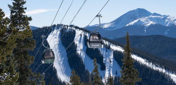
Colorado Ski Resort Opening Dates 2026-27: A-Basin and Keystone Race to Be First
Arapahoe Basin, Keystone and Winter Park are all chasing an October start, though none has a firm date yet. The first dated openers are Breckenridge and Copper on Friday 6 November, then Vail on 13 November, with most of the rest bunched around US Thanksgiving. Hesperus did not open at all last season. A super El Niño offers hope but no guarantee, and forecasters say the southern mountains have the better odds.
5 Oct 2026
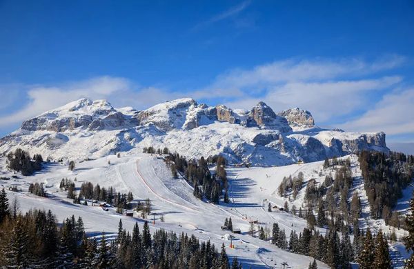
Dolomiti Superski 2026-27: Four New Gondolas, New Reservoirs and an €89 Peak Day Pass
Dolomiti Superski is spending around €100 million across its 12 areas before winter. Kronplatz gets a new 10-passenger gondola with a middle station, 3 Zinnen gets Helmissimo, and Val di Fassa swaps a chairlift for a gondola above Col Valvacin. New water-storage basins and upgraded snowmaking follow, and construction has started on the San Martino to Passo Rolle link. A peak adult day pass is €89.
4 Oct 2026
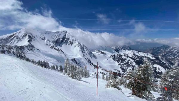
Utah Ski Resort Opening Dates 2026-27: Brian Head First, Eagle Point Out
Brian Head is targeting 6 November, though last year it aimed for 7 November and did not open until the 25th. Park City, Alta and Solitude are pencilled in for 20 November, Snowbird and Snowbasin for 27 November, and Deer Valley for 5 December. Eagle Point will stay closed after the Cottonwood Fire. A super El Niño is forecast, but the big snow is not expected until January.
4 Oct 2026
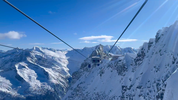
Hintertux Glacier Opens for 2026-27 With 12 Kilometres of Piste
Hintertux became Austria's second glacier to open for 2026-27 on Friday 2 October, after the Pitztal Glacier. Twelve kilometres of piste are running around the Olperer and Gefrorene Wand, served by one gondola and two drag lifts, with the Betterpark also open. Lifts officially run 8:15 am to 4:30 pm, but skiing stops at 2 pm for now.
4 Oct 2026
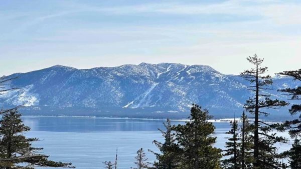
Vail Resorts Counts the Cost of a Thin Winter as Pass Sales Slide Further
A historically poor western winter cut Vail Resorts' annual net income from $280 million to $147.5 million and skier visits by 13.4 per cent. Now 2026-27 pass units are down 12 per cent as of 18 September, worse than the 10 per cent flagged in spring. Vail blames the weather and thinks some buyers are simply waiting, and it forecasts a rebound if the snow behaves.
3 Oct 2026
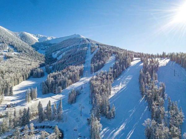
Arizona Snowbowl's $1 Lift Tickets Are Hard to Find, but $9 Days Are Not
Arizona Snowbowl advertised eight $1 lift ticket days this winter. Go looking and only three are showing - 10 March, 1 April and 10 April - so the rest may already have gone. The consolation is a calendar full of $9 days, including all but one day in April. Opening day is 20 November, weather permitting, and opening weekend is $19.
2 Oct 2026
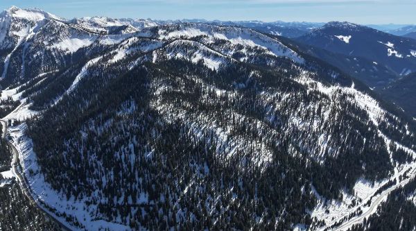
Whitewater Brings Its Short Side Inbounds, With Six New Runs for 2026-27
For years, Whitewater's Short Side was where you ducked a rope and hoped for the best: unmapped, ungroomed and unpatrolled. This winter it's inbounds. Six new runs of glades and fall-line skiing add 190 acres (about 77 hectares), taking the resort past 1,400 acres in total. F2 Logging spent a month in the trees to make it happen, and opening day is pencilled in for 4 December. Bonanza now needs less snow to groom, too.
1 Oct 2026
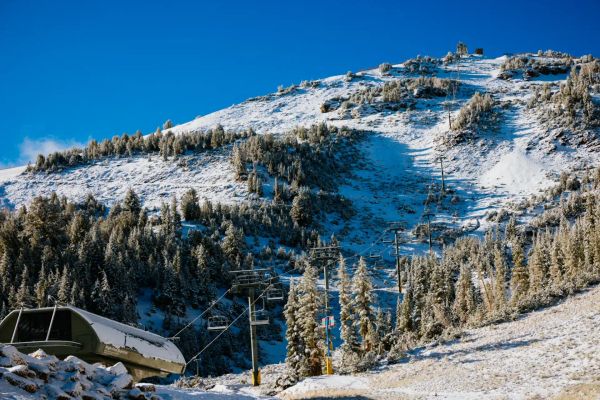
September Dusting Hits Mammoth Mountain Six Weeks Before Opening Day
Mammoth got its first snow of 2026-27 on Monday 28 September - and promptly lost it by Tuesday morning. Barely an inch fell at McCoy Station, but with opening day pencilled in for Friday 13 November, it's the first sign the Sierra is waking up. Last year's date slipped from 14 November to 20 November, so nobody's booking flights on a dusting just yet. Here's where California's early openers stand.
1 Oct 2026
Mt Dobson Webcams
3 live angles across the mountain. Tap any camera to go full-screen.
About Mt Dobson's live webcams
Check live conditions across Mt Dobson with 3 real-time webcams showing snow, weather, and lift operations, updated every 10 minutes. Check high-elevation cams for powder visibility and base-area cams for crowd levels before you head up.
Camera guide
- Mt Dobson Summit1902m
- Mt Dobson summit at 1902m elevation with panoramic views over Lakes Tekapo and Pukaki toward Mt Cook. This Mt Dobson web cam shows advanced terrain access and off-piste routes, with live cams capturing the spectacular Southern Alps scenery and powder skiing opportunities above the groomed runs.
- Mt Dobson Saddle Chair1732m
- Saddle Triple Chair at Mt Dobson showing the resort's only chairlift and intermediate terrain at 1732m elevation. This Mt Dobson webcam captures access to The Twenty, Top Wagon Trail and Shirley Chute runs, with live snow cam views of the family-friendly slopes and spectacular Mackenzie Country mountain vistas.
- Mt Dobson Base Station1695m
- Base station facilities at Mt Dobson showing the main lodge and ticket office at 1695m elevation. This Mt Dobson live cam monitors the arrival area and beginner slopes, with Mt Dobson webcams perfect for checking the large learner's area and uncrowded trails that make this Canterbury resort ideal for families.
Mt Dobson snow cams FAQ
How often do Mt Dobson snow cams update?
All Mt Dobson snow cams and webcams update every 10 minutes with fresh images showing current mountain conditions. This frequent update schedule ensures you have access to near real-time conditions for planning your ski day at Mt Dobson.
Which Mt Dobson webcam shows the best powder conditions?
The high-elevation Mt Dobson Summit webcam at 1,902m provides the clearest view of powder conditions and snowfall. These Mt Dobson webcams capture fresh snow accumulation and visibility better than base area cameras.
Can I see Mt Dobson lift queues on the webcams?
Yes. Multiple Mt Dobson snow cams specifically show lift queue areas and chairlift operations, helping you time your arrival and avoid peak queue periods.
When is the best time to check Mt Dobson snow cams?
Check Mt Dobson webcams early morning (7-8am) for overnight snowfall assessment, and mid-afternoon for current crowd levels and weather. The live cams are most useful after storm events to assess fresh powder.
How can I check current conditions before buying Mt Dobson lift tickets?
Use our Mt Dobson webcams alongside the live snow report to assess conditions before purchasing lift tickets. The webcams show real-time visibility, snow quality, and operational status.
Do Mt Dobson webcams work on mobile devices?
Yes. All Mt Dobson snow cams and webcams are optimized for mobile viewing, so you can check live conditions from anywhere using your phone or tablet.
More Mt Dobson intelligence: snow report, lift tickets, trail map, resort overview.