TL;DR
Rain down low, snow up high, and a snow report full of zeros that mostly means ‘not updated yet’. Utah’s first proper storm of 2026-27 is rolling through the Wasatch, Snowbird’s snow stake is closing in on 10 inches, and Brian Head is five days from opening day. Early November snow rarely looks like much, but it is the layer every November opening date is built on. Here is where it stands.

Utah’s first proper storm of the 2026-27 season is already doing the unglamorous job of laying down a base.
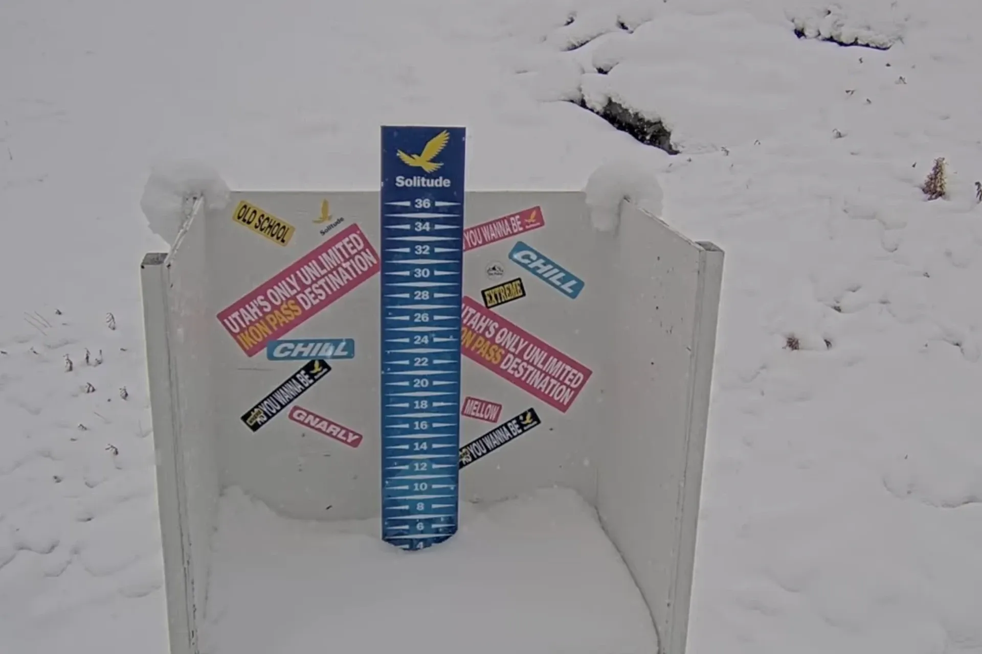
By Sunday morning the Ski Utah reports had Snowbird at 6 inches (15 cm) overnight, although its snow stake was showing closer to 10 inches (25 cm), with Alta at 4 inches (10 cm) and Solitude at 3 inches (8 cm). Those are the only three resorts with new snow on the board, and they are almost certainly the low end of what has fallen.
Everyone else still reads 0 inches, which says more about reporting than weather. Several of those entries were last updated in October, so the zero is simply the last number anyone typed in.
Rain low, snow high
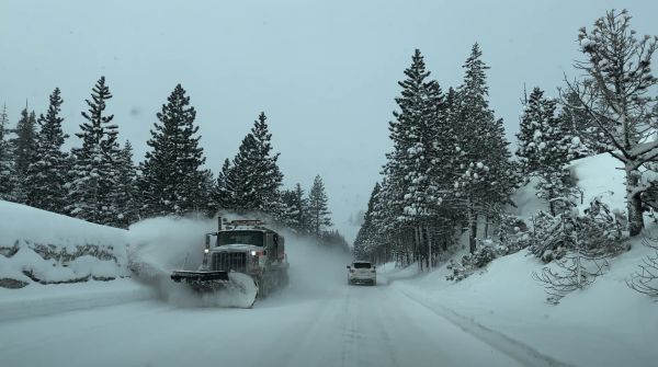
This was never going to be a clean storm. OpenSnow forecaster Evan Thayer, writing in the Ski Utah daily forecast, put the main push on Sunday, with snow above roughly 8,000 feet (2,440 m) and steady rain below that.
Resorts with lower bases on the Wasatch Back and further north were always going to get the worst of the split, and OpenSnow’s pre-storm numbers reflected it: about 7 inches (18 cm) for Park City Mountain and Deer Valley and 5 inches (13 cm) for Beaver Mountain, against 21 inches (53 cm) at Snowbird, 20 inches (51 cm) at Alta and 14 inches (36 cm) at Brighton. Brian Head, in the south, topped the list at 22 inches (56 cm).
Monday’s forecasts for Alta and Snowbird are for showers mixed with rain early, going over to all snow later in the day. If that holds, the Cottonwoods should finish well above what the report shows now.
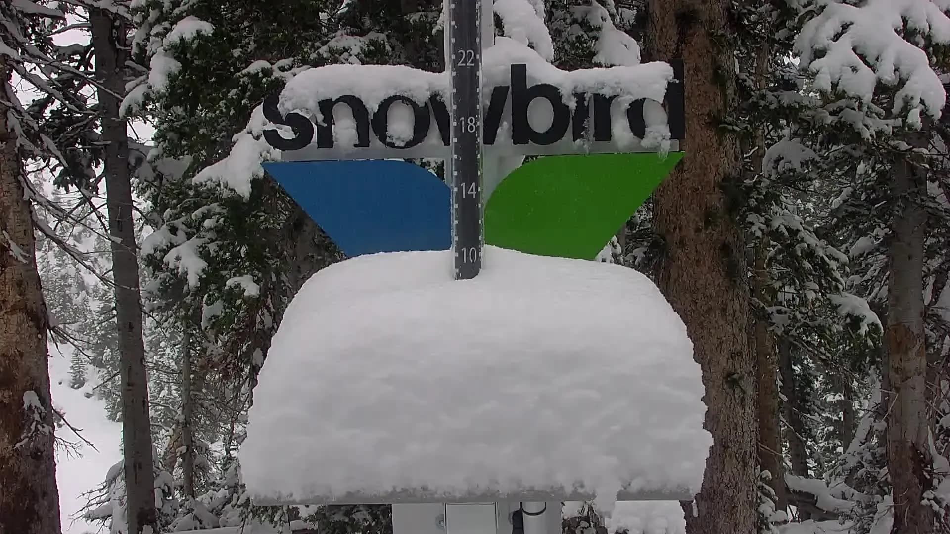
Snowbird’s snow stake
The snow stake at Snowbird is sitting at roughly 10 inches (25 cm), well above the 6 inches (15 cm) in the overnight column of the Ski Utah report. The gap makes sense if the snow has been falling through most of Sunday rather than arriving in a single overnight burst, and the report only captures the final stretch. A pile that deep on the stake also says the snow was sticking at Snowbird’s elevation even with rain forecast lower down, which is the outcome the rain-versus-snow split was always going to hinge on.
Why the base is the whole game
Early-season openings depend less on how much powder falls than on how well the ground is covered. A resort can have a foot of fresh snow and still stay shut if rocks and scrub are poking through underneath, and a thin layer gets chewed up quickly once grooming and skiers start working on it.
Rain in the mix is not all bad news here. A dense, wet first layer tends to bond to the ground, and colder, lighter snow stacked on top of it is the combination that holds through a run of mild days.
Mid-October showed how fragile early snow can be. Remnants of Tropical Storm Rachel put the snow stakes at Alta and Snowbird at 16 and 18 inches that week, and the base figures on this week’s report are a fraction of that. October snow in the Wasatch rarely sticks around without help.
Opening dates
Ski Utah’s announced dates, all weather permitting:
- Brian Head: Friday 6 November
- Park City Mountain, Alta and Solitude: Friday 20 November
- Snowbird and Snowbasin: Friday 27 November, the day after Thanksgiving
Brian Head is the one with the least time. It has the highest base elevation of any Utah resort at 9,600 feet (2,926 m), and it picked up 6 inches (15 cm) in an October 25 storm before this one arrived. Its report entry still reads 0 inches, so expect that to change. Alta, Solitude and Park City Mountain are about two and a half weeks out, with Snowbird and Snowbasin a week behind them. Deer Valley, Sundance, Powder Mountain and Snowland are all counting down to December dates, and several others, Brighton among them, have yet to announce one.
Heading out early
Anyone planning early turns in the Cottonwoods before the lifts spin should treat the snowpack as thin and unreliable. Rocks, stumps and creek beds sit just under the surface, and fresh snow over a wet, dense layer can be a problem on steeper slopes. The Utah Avalanche Center publishes daily forecasts and is the place to check before leaving the car park.
About the author

Michael Fulton
Melbourne-based skier and snowboarder with 50+ resorts across 5 continents. Specialises in Australian resorts and international resort comparisons.