TL;DR
South Island ski areas are set for a significant snowfall, with up to 15 inches expected in some regions. The weather system will bring varying amounts of snow across different resorts, impacting skiing conditions throughout New Zealand.
New Zealand Ski Areas Prepare for Substantial Snowfall
Ski resorts across New Zealand are gearing up for a significant weather event this weekend. The South Island is expected to receive the bulk of the snowfall, with predictions ranging from 4 to 15 inches of fresh snow by Saturday night. The Mackenzie Basin is likely to see the most substantial accumulation, while the Queenstown-Wanaka area will also benefit from a good cover. In contrast, the North Island's ski areas may only experience minimal snowfall due to strong winds.
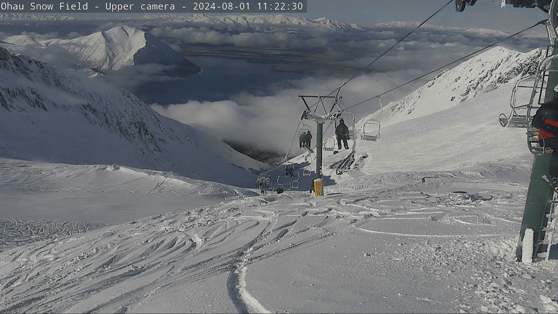
The incoming weather system will affect different regions at various times. Canterbury's ski resorts, including Mt Hutt, Mount Dobson, Ohau, and Porters, will be the first to see snowfall starting Thursday night. Initially, the snow may be dense at lower elevations, but as temperatures drop, the quality is expected to improve. By Friday, the freezing level is predicted to lower to about 4,000 feet, bringing an additional 4 to 8 inches of snow throughout the day.
As the system moves southward, the Queenstown-Wanaka ski areas such as Cardrona, Treble Cone, The Remarkables, and Coronet Peak will receive their share of snow on Friday evening. With temperatures falling to the upper 20s Fahrenheit, the 3 to 7 inches of expected snowfall should be lighter and more favourable for skiing.
Saturday will see the weather system begin to clear, but not before leaving an additional 1 to 3 inches on eastern slopes. This final dusting will bring the total snowfall for some resorts in the Canterbury and Mackenzie Basin areas into double digits, setting up excellent skiing conditions for Sunday.However, the situation differs dramatically for Turoa on the North Island. Strong northwest winds with gusts up to 80 mph are forecast, along with higher freezing levels around 6,300 feet. These conditions will likely result in only 3 to 5 inches of heavy, wind-affected snow from Friday to Sunday night, potentially limiting ski operations.This weather event highlights the diverse conditions across New Zealand's ski resorts. While South Island locations prepare for a significant improvement in their snow cover, North Island resorts face more challenging circumstances. Skiers and riders planning to hit the slopes this weekend should check with individual resorts for the most up-to-date information on conditions and operations.