TL;DR
The Alps look a lot more like winter today, for a day or so. A cold front is moving west to east, dropping up to 35 cm on high glaciers and peaks, with snow levels falling to around 1,500-1,800 m at times. Don’t plan a trip around it: mid-elevation snow will be thin and wet, every area is closed bar a limited Sölden glacier opening tomorrow, and warmer weather returns by Monday.
A cold front is turning the high Alps white today, and it won’t stay that way below the glaciers.
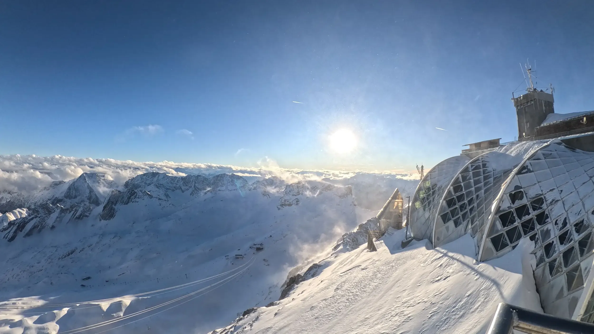
After several mild days, an active front is crossing the range from west to east on Thursday, October 8. Snow levels start the day at roughly 2,400-2,700 m and drop to somewhere between 1,700 and 2,000 m by the afternoon, depending on the region. The last showers could push flakes down to 1,500-1,600 m in the western French Alps. Most of the accumulation lands on glaciers and the highest peaks, where up to 35 cm is possible.
French Alps
France gets the heaviest falls. A regional forecast for Savoie, Haute-Savoie and Isère has 25-35 cm above 2,800 m, 5-10 cm around 2,300 m and 2-5 cm at about 1,800 m. The high terrain above Chamonix, Val Thorens, Les 2 Alpes, Tignes and Alpe d’Huez could see 20-35 cm.
Model forecasts for the resorts themselves run lower. Val Thorens has the strongest signal at 10-15 cm, followed by Chamonix with 4-6 cm and Tignes with 4-5 cm. Val d’Isère and Les 3 Vallées are looking at 3-5 cm. The gap between the two sets of numbers comes down mostly to elevation, so the higher totals apply to the highest ground.